geo.wikisort.org - Reservoir
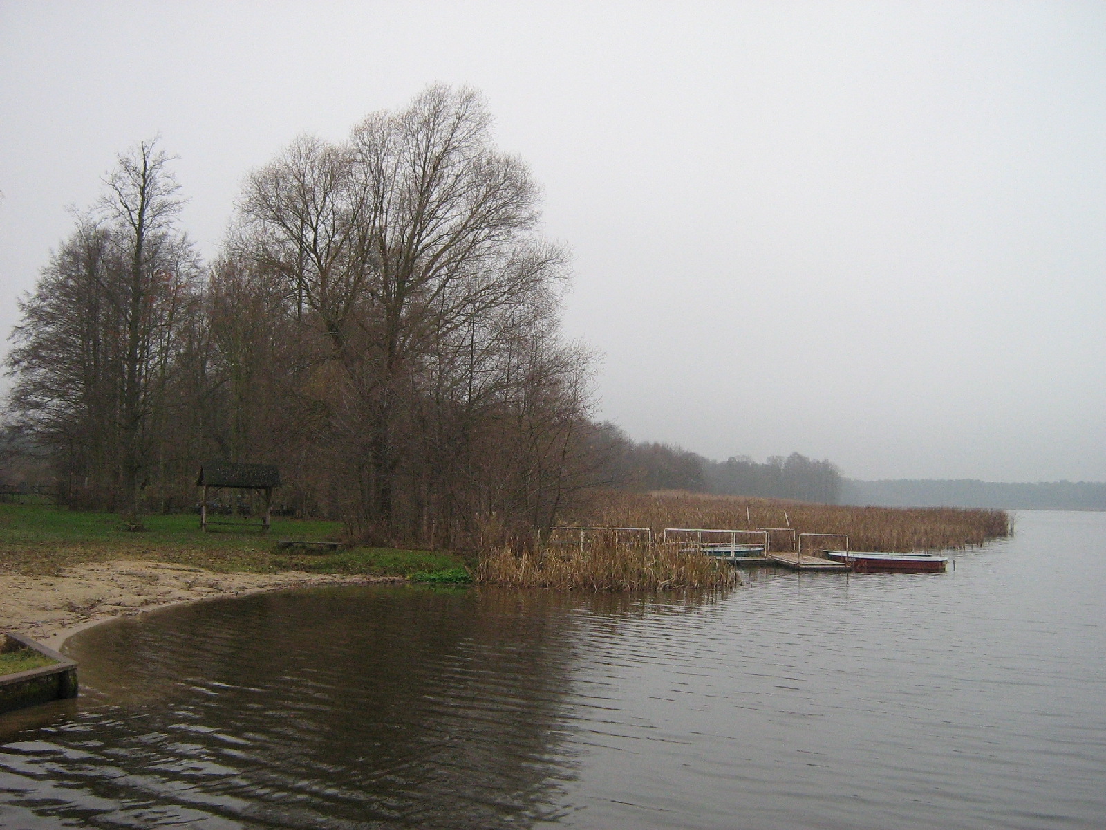
Köthener See is a lake in Landkreis Dahme-Spreewald, Brandenburg, Germany. It lies at an elevation of 43 m, and has a surface area of 1.48 km². It is located in the municipality of Märkisch Buchholz, Dahme-Spreewald district.
| Köthener See | |
|---|---|
 | |
 Köthener See | |
| Location | Landkreis Dahme-Spreewald, Brandenburg |
| Coordinates | 52°4′49.5″N 13°48′43.0″E |
| Primary inflows | Randkanal (Wasserburger Spree), Dahme-Umflutkanal |
| Primary outflows | Dahme-Umflutkanal |
| Basin countries | Germany |
| Max. length | 2,250 m (7,380 ft) |
| Max. width | 1 km (0.62 mi) |
| Surface area | 1.48 km2 (0.57 sq mi) |
| Max. depth | 2.0 m (6 ft 7 in) |
| Surface elevation | 43 m (141 ft) |
External links
![]() Media related to Köthener See at Wikimedia Commons
Media related to Köthener See at Wikimedia Commons
This Brandenburg location article is a stub. You can help Wikipedia by expanding it. |
На других языках
[de] Köthener See
Der Köthener See ist ein flaches Gewässer im Einzugsgebiet von Spree und Dahme mit einer Größe von 148 ha.- [en] Köthener See
Текст в блоке "Читать" взят с сайта "Википедия" и доступен по лицензии Creative Commons Attribution-ShareAlike; в отдельных случаях могут действовать дополнительные условия.
Другой контент может иметь иную лицензию. Перед использованием материалов сайта WikiSort.org внимательно изучите правила лицензирования конкретных элементов наполнения сайта.
Другой контент может иметь иную лицензию. Перед использованием материалов сайта WikiSort.org внимательно изучите правила лицензирования конкретных элементов наполнения сайта.
2019-2025
WikiSort.org - проект по пересортировке и дополнению контента Википедии
WikiSort.org - проект по пересортировке и дополнению контента Википедии