geo.wikisort.org - River
The Bighorn River is a tributary of the Yellowstone, approximately 461 miles (742 km) long, in the states of Wyoming and Montana in the western United States. The river was named in 1805 by fur trader François Larocque for the bighorn sheep he saw along its banks as he explored the Yellowstone.[4]
| Bighorn River Great Horn River | |
|---|---|
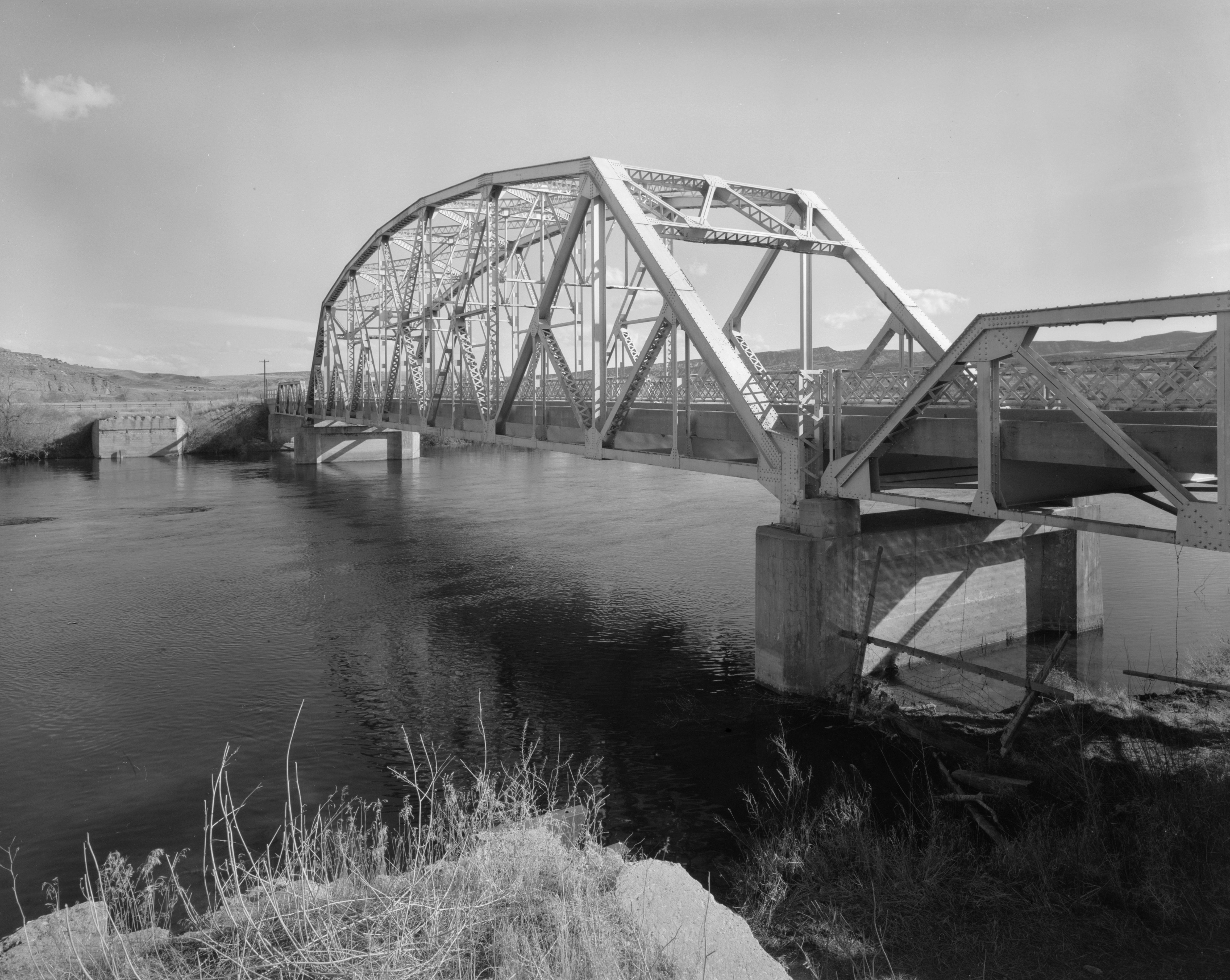 The CQA Four Mile Bridge over Bighorn River | |
 Map of the Wind-Bighorn River | |
| Native name | Iisaxpúatahcheeaashisee (Crow) |
| Location | |
| Country | United States |
| State | Wyoming/Montana |
| Cities | Dubois, Crowheart, Johnstown, Riverton, Thermopolis, Lucerne, Kirby, Winchester, South Flat, Mc Nutt, Worland, Washakie Ten, Manderson, Basin, Greybull, Fort Smith |
| Physical characteristics | |
| Source | Two Ocean Mountain |
| • location | Wind River Range, Teton County |
| • coordinates | 43°44′50″N 110°04′27″W[1] |
| • elevation | 9,760 ft (2,970 m) |
| Mouth | Yellowstone River |
• location | Bighorn, Montana, Treasure County |
• coordinates | 46°09′18″N 107°28′28″W[2] |
• elevation | 2,687 ft (819 m) |
| Length | 185 mi (298 km) |
| Basin size | 22,885 sq mi (59,270 km2) |
| Discharge | |
| • location | Bighorn |
| • average | 3,954 cu ft/s (112.0 m3/s)[3] |
| Basin features | |
| Tributaries | |
| • left | East Fork Wind River, Greybull River, Shoshone River |
| • right | Little Wind River, Nowood River, Little Bighorn River |
The upper reaches of the Bighorn, south of the Owl Creek Mountains in Wyoming, are known as the Wind River. The two rivers are sometimes referred to as the Wind/Bighorn. The Wind River officially becomes the Bighorn River at the Wedding of the Waters, on the north side of the Wind River Canyon near the town of Thermopolis. From there, the river flows through the Bighorn Basin in north central Wyoming, passing through Thermopolis and Hot Springs State Park.
At the border with Montana, the river turns northeast, and flows past the north end of the Bighorn Mountains, through the Crow Indian Reservation, where the Yellowtail Dam forms the Bighorn Lake reservoir. The reservoir and the surrounding canyon are part of the Bighorn Canyon National Recreation Area.
The Little Bighorn River joins the Bighorn near the town of Hardin, Montana. Approximately 50 miles (80 km) farther downriver, the Bighorn River ends where it joins the Yellowstone.
Course

The Bighorn River begins as the Wind River in the Rocky Mountains at Wind River Lake, near Two Ocean Mountain and the summit of Togwotee Pass. The Wind River flows southeast receiving the east fork of the Wind River from the north, and enters the Wind River Basin, flowing past Dubois and Johnstown, to Riverton, where it receives the Little Wind River. The river then changes direction to the northeast and then the north, flowing into Boysen Reservoir, which is formed by Boysen Dam. Below the dam it enters the Wind River Canyon, where the river narrows and forms many rapids. At the end of the canyon the Wind River widens out in an area called the Wedding of the Waters where it becomes the Bighorn River and enters the Bighorn Basin. The Bighorn continues northward, passing through Thermopolis, Worland, and Basin. At Greybull it receives the Greybull River, and about 30 mi (48 km) north of that confluence it enters Bighorn Lake, where it is joined by the Shoshone River. North of the confluence with the Shoshone, the reservoir narrows as the river enters the Bighorn Canyon, where it crosses into Montana. At the end of the canyon, the river passes through Yellowtail Dam and Afterbay Dam. The river turns to the northeast and enters the Great Plains. At Hardin the river is joined by the Little Bighorn River. Approximately 50 mi (80 km) downriver from the Little Bighorn, in Big Horn County, the Bighorn empties into the Yellowstone.
Names
The Bighorn River has also been known as the Great Horn River, Le Corne[2] and Iisaxpúatahcheeaashisee in the Apsáalooke language which translates to English as Large Bighorn Sheep River.[5] Its Gros Ventre name is ʔɔ́tééíníícááh, 'wild sheep river'.[6]
See also
- List of rivers of Montana
- List of rivers of Wyoming
- Montana Stream Access Law
Further reading
- Sullivan, Gordon (2008). Saving Homewaters: The Story of Montana's Streams and Rivers. Woodstock, VT: The Countryman Press. ISBN 978-0-88150-679-2.
Notes
- "Wind River". Geographic Names Information System. United States Geological Survey, United States Department of the Interior. 1979-06-05. Retrieved 2011-04-05.
- "Bighorn River, MT". Geographic Names Information System. United States Geological Survey, United States Department of the Interior.
- "USGS Surface Water data for Montana: USGS Surface-Water Annual Statistics".
- Aarstad, Rich; Arguimbau, Ellie; Baumler, Ellen; Porsild, Charlene; Shovers, Brian (2009). Montana Place Names. Helena, Montana: Montana Historical Society Press. p. 22. ISBN 978-0-9759196-1-3.
- "Apsáalooke Place Names Database". Library @ Little Big Horn College. Archived from the original on 2014-11-11. Retrieved 2013-04-27.
- Cowell, A.; Taylor, A.; Brockie, T. (2016). "Gros Ventre ethnogeography and place names: A diachronic perspective". Anthropological Linguistics. 58 (2): 132–170. doi:10.1353/anl.2016.0025. S2CID 151520012.
External links
- State of Wyoming: Bighorn River Basin
- U.S. Fish and Wildlife Service: Wind/Bighorn River Drainage (archive)
- Wyoming Game and Fish map showing the Wind River becoming the Bighorn (archive)
State of Montana | |
|---|---|
Helena (capital) | |
| Topics |
|
| Society |
|
| Regions |
|
| Largest cities | |
| Counties |
|
State of Wyoming | |
|---|---|
Cheyenne (capital) | |
| Topics |
|
| Society |
|
| Regions |
|
| Cities | |
| Counties | |
| Authority control |
|---|
На других языках
[de] Bighorn River
Der Bighorn River ist ein 444 km (einschließlich Wind River 742 km) langer Nebenfluss des Yellowstone River in den US-Bundesstaaten Wyoming und Montana. Etwa 7 km südlich von Thermopolis befindet sich ein Punkt, oberhalb welchem der Fluss die Bezeichnung Wind River trägt.- [en] Bighorn River
[es] Río Bighorn
El río Bighorn (Bighorn River) o en español: río Gran Cuerno[n. 1] es un largo río del Oeste de los Estados Unidos, el principal afluente del río Yellowstone que discurre por la parte central de la vertiente oriental de las Montañas Rocosas. Considerado conjuntamente con su fuente, el río Wind, el sistema Wind/Bighorn tiene una longitud de 742 km, que lo sitúan entre los 50 ríos más largos de los Estados Unidos.[it] Bighorn (fiume)
Il Bighorn (in inglese Bighorn River), conosciuto anche come Great Horn River, è un fiume degli Stati Uniti d'America, maggior affluente dello Yellowstone. Il fiume, che è lungo circa 742 сhilometri, scorre nel Wyoming centrale e per un piccolo tratto nel Montana meridionale con un percorso che attraversa il cuore della riserva indiana dei Crow (Crow Indian Reservation), regno delle pecore Bighorn che danno il nome sia al fiume che ai monti di quella regione.[ru] Бигхорн (река)
Би́гхорн[2] (Биг-Хорн[3], Биг-Горн-Ривер[4]; англ. Bighorn River) — река на северо-западе штата Вайоминг и юге штата Монтана, США. Правый и крупнейший приток реки Йеллоустон, которая в свою очередь является притоком Миссури[5]. Длина реки составляет 742 км (461 миля)[1]; площадь бассейна — 56 тысяч км²[6]. Расход воды — 103,2 м³/с.[источник не указан 21 день]Другой контент может иметь иную лицензию. Перед использованием материалов сайта WikiSort.org внимательно изучите правила лицензирования конкретных элементов наполнения сайта.
WikiSort.org - проект по пересортировке и дополнению контента Википедии