geo.wikisort.org - River
The Avon Ring is a canal ring which is located to the south west of Birmingham in England, and connects the major towns of Stratford-upon-Avon, Evesham, Tewkesbury, Worcester and the southern outskirts of Birmingham. It consists of stretches of four waterways, and is heavily locked, with a total of 129 locks on its route of 109 miles (175 km).
| Avon Ring | |
|---|---|
 Kings Norton Junction and roving bridge over the Worcester and Birmingham Canal. The start of the Stratford-upon-Avon Canal is at the top right. | |
| Specifications | |
| Length | 109 miles (175 km) |
| Locks | 129 |
| Status | Canal ring |
| Navigation authority | Canal & River Trust |
The route
Avon Ring | ||||||||||||||||||||||||||||||||||||||||||||||||||||||||||||||||||||||||||||||||||||||||||||||||||||||||||||||||||||||||||||||||||||||||||||||||||||||||||||||||||||||||||||||||||||||||||||||||||||
|---|---|---|---|---|---|---|---|---|---|---|---|---|---|---|---|---|---|---|---|---|---|---|---|---|---|---|---|---|---|---|---|---|---|---|---|---|---|---|---|---|---|---|---|---|---|---|---|---|---|---|---|---|---|---|---|---|---|---|---|---|---|---|---|---|---|---|---|---|---|---|---|---|---|---|---|---|---|---|---|---|---|---|---|---|---|---|---|---|---|---|---|---|---|---|---|---|---|---|---|---|---|---|---|---|---|---|---|---|---|---|---|---|---|---|---|---|---|---|---|---|---|---|---|---|---|---|---|---|---|---|---|---|---|---|---|---|---|---|---|---|---|---|---|---|---|---|---|---|---|---|---|---|---|---|---|---|---|---|---|---|---|---|---|---|---|---|---|---|---|---|---|---|---|---|---|---|---|---|---|---|---|---|---|---|---|---|---|---|---|---|---|---|---|---|---|---|
| ||||||||||||||||||||||||||||||||||||||||||||||||||||||||||||||||||||||||||||||||||||||||||||||||||||||||||||||||||||||||||||||||||||||||||||||||||||||||||||||||||||||||||||||||||||||||||||||||||||
The concept of a canal ring is a recent one, having been coined in 1965 to describe routes which could be used by people boating for leisure, that did not require holiday makers to return to their start location by the same route as they had used to reach their destination.[1] The constituent waterways of the Avon Ring, which can take about two weeks to navigate[2] are:
- River Avon
- River Severn
- Worcester and Birmingham Canal
- Stratford-on-Avon Canal
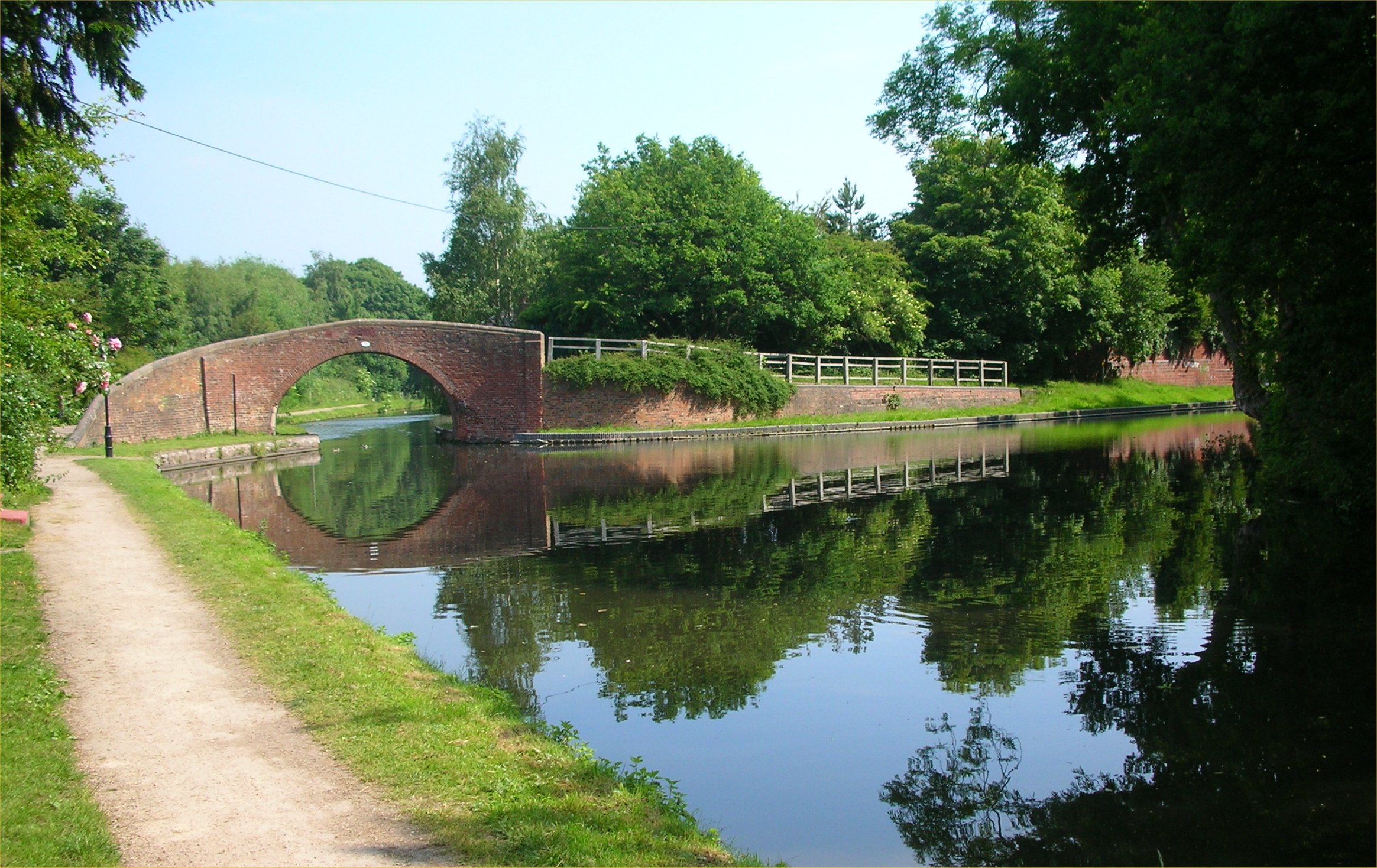
Starting from Stratford-upon-Avon, and travelling in a clockwise direction, the Avon Ring follows the downstream course of the River Avon through Evesham to arrive at Tewkesbury, where the river joins the River Severn. There are 17 locks on this 42.2-mile (67.9 km) section, ten before Evesham and seven afterwards. The River Avon is a navigation, and so each lock is accompanied by a weir, to maintain the flow of the river.[3]
From Tewkesbury, the ring follows the upstream course of the River Severn for 16 miles (26 km) to Worcester.[4] This is the longest level section, as the only lock is located at Diglis, just before the junction with the Worcester and Birmingham Canal.[5]
From the junction with the River Severn, there are two locks to reach Diglis Basin, and then another eight as the canal leaves Worcester. The Offerton flight of six locks follows, just before the canal passes under the M5 motorway,[6] after which the 230 yd (210 m) Dunhampstead tunnel is encountered. A junction with the Droitwich Canal, which was restored to navigation in 2011, is followed by the six locks of the Astwood flight,[7] another six at Stoke, and almost immediately, the thirty locks of the Tardebigge flight, which raise the level of the canal by 217 ft (66 m). The top lock of the flight brings to 58 the number of locks worked in just 15.5 miles (24.9 km), as the final section is level. Two short tunnels follow; Tardebigge tunnel is 580 yd (530 m) long and Shortwood tunnel is 613 yd (561 m) long.[8] The canal meanders across rural Worcestershire, passing under the M42 motorway just to the north of Alvechurch, before entering the Wast Hills Tunnel. The tunnel is 2,726 yd (2,493 m) long,[9] and its northern portal is in Warwickshire, in the urban outskirts of Birmingham. Within a mile, Kings Norton Junction is reached, where the Stratford-upon-Avon Canal begins,[10] and the 24.5-mile (39.4 km) journey up the Worcester and Birmingham Canal ends.[11]

The start of the Stratford-upon-Avon canal is marked by a guillotine lock, which used to prevent water passing between the canals, but is now maintained in an open position. The first eleven miles (18 km) is level, with a five-mile (8 km) urban section containing the 352 yd (322 m) Brandwood tunnel,[12] and a six-mile (9.6 km) rural section which passes under the M42 motorway. The 26 locks of the Lapwood flight start the descent towards Stratford-upon-Avon, with the final one in the shadow of the M40 motorway bridge. The Lapworth Link turns off near locks 20 and 21, to connect with the Grand Union Canal. Only one of these two locks needs to be negotiated, as they are on parallel routes.[13] Another 27 locks complete the journey to Stratford-upon-Avon,[14] with eleven of them concentrated in the Wilmcote flight.[15] The length of the canal is 25.5 miles (41.0 km), and officially contains 54 locks, although only 52 of them have to be negotiated.[16]
Points of interest
| Point | Coordinates (Links to map resources) |
OS Grid Ref | Notes |
|---|---|---|---|
| Kings Norton Junction | 52.4123°N 1.9228°W | SP053793 | |
| Kingswood Junction, Stratford-on-Avon Canal | 52.3352°N 1.7277°W | SP186708 | |
| Junction with R Avon, Stratford-on-Avon | 52.1913°N 1.7022°W | SP204548 | |
| River Avon at Bidford-on-Avon | 52.1639°N 1.8566°W | SP099517 | |
| River Avon at Evesham | 52.0864°N 1.9519°W | SP033431 | |
| River Avon joins River Severn | 51.9964°N 2.1637°W | SO888331 | |
| Diglis Lock, River Severn | 52.1780°N 2.2249°W | SO847533 | |
| Worcester & Birmingham at Worcester | 52.1974°N 2.2154°W | SO853554 | |
| Bottom of Tardebigge flight | 52.3100°N 2.0545°W | SO963679 | |
| South portal of Wast Hills Tunnel | 52.3809°N 1.9487°W | SP035758 |
See also
Bibliography
- Cumberlidge, Jane (2009). Inland Waterways of Great Britain (8th Ed.). Imray Laurie Norie and Wilson. ISBN 978-1-84623-010-3.
- Nicholson (2006). Nicholson Guides (Vol 2) Severn, Avon & Birmingham. Harper Collins Publishers. ISBN 0-00-721110-4.
- Shead, Jim (March 2004). "The Cheshire Ring". Waterways World. ISSN 0309-1422. Archived from the original on 3 March 2016.
{{cite journal}}: CS1 maint: unfit URL (link)
References
- Shead 2004, p. 56.
- Cumberlidge 2009, p. 48.
- Nicholson 2006, p. 11.
- Cumberlidge 2009, p. 266.
- Nicholson 2006, pp. 85–91.
- Nicholson 2006, pp. 152–153.
- Nicholson 2006, p. 157.
- Nicholson 2006, pp. 158–159.
- Nicholson 2006, p. 163.
- Nicholson 2006, p. 165.
- Cumberlidge 2009, p. 338.
- Nicholson 2006, pp. 138–139.
- Nicholson 2006, pp. 140–143.
- Nicholson 2006, pp. 143–145.
- Nicholson 2006, pp. 146–147
- Nicholson 2006, p. 136.
Другой контент может иметь иную лицензию. Перед использованием материалов сайта WikiSort.org внимательно изучите правила лицензирования конкретных элементов наполнения сайта.
WikiSort.org - проект по пересортировке и дополнению контента Википедии