geo.wikisort.org - River
The Arga-Yuryakh (Russian: Арга-Юрях; Yakut: Арҕаа Үрэх) is a river in Sakha Republic (Yakutia), Russia. It is one of the major tributaries of the Omoloy. The river has a length of 214 kilometres (133 mi) and a drainage basin area of 5,530 square kilometres (2,140 sq mi).[1]
| Arga-Yuryakh Арга-Юрях / Арҕаа Үрэх | |
|---|---|
 Course of the Arga-Yuryakh ONC map section | |
 Mouth location in Yakutia, Russia | |
| Location | |
| Country | Russia |
| Physical characteristics | |
| Source | |
| • location | Orulgan Range Verkhoyansk Range |
| • coordinates | 69°49′31″N 130°20′48″E |
| • elevation | 253 m (830 ft) |
| Mouth | Omoloy |
• coordinates | 70°26′28″N 132°58′39″E |
| Length | 214 km (133 mi) (279 km (173 mi)) |
| Basin size | 5,530 km2 (2,140 sq mi) |
| Basin features | |
| Progression | Omoloy → Laptev Sea |
The river flows north of the Arctic Circle, across desolate tundra territories of the East Siberian Lowland. Its basin falls within Ust-Yansky and Bulunsky districts.[2] The name of the river comes from the Yakut "Argaa/үrekh" (Арҕаа-үрэх), meaning "western/river".[3]
Course
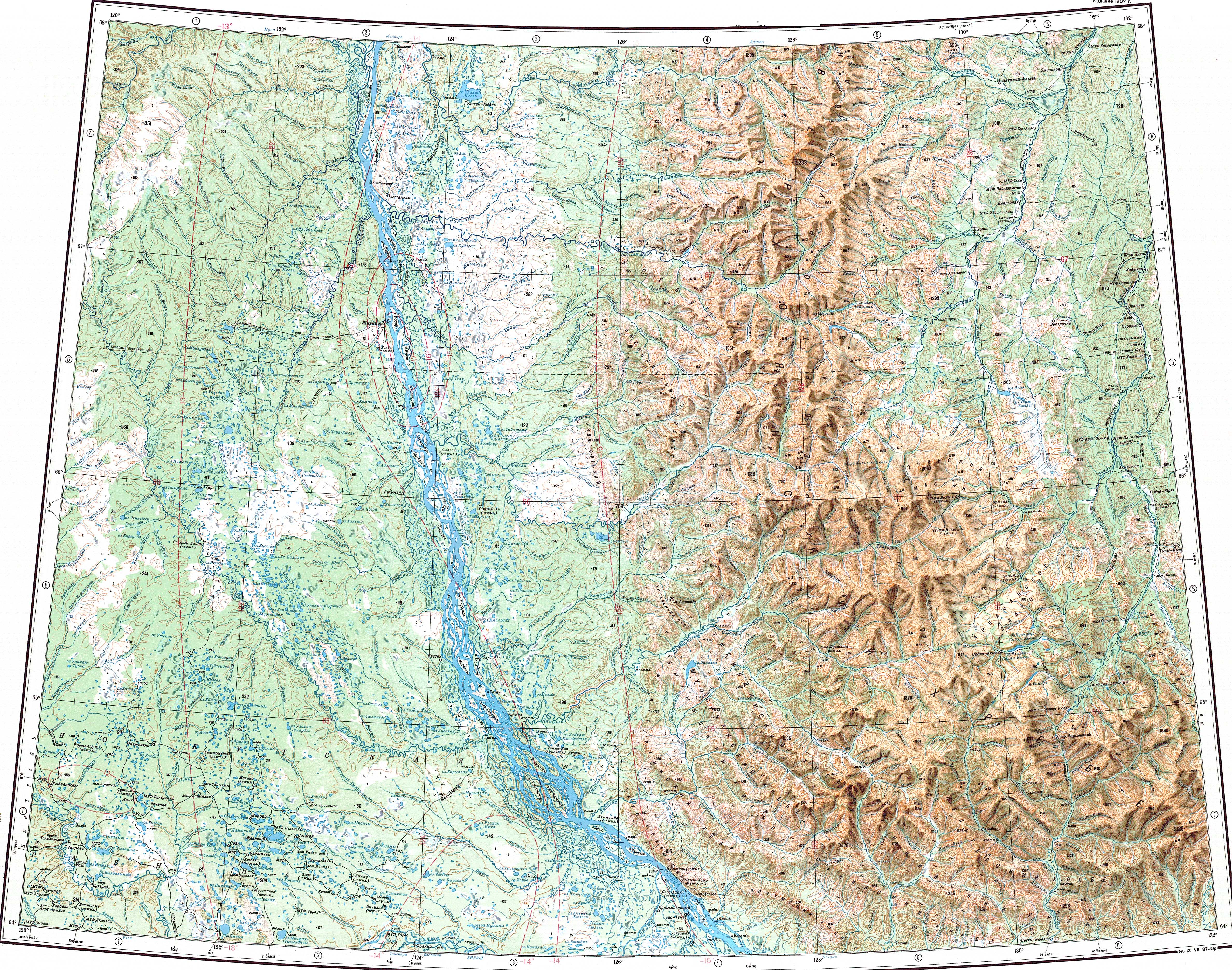
The Arga-Yuryakh is a left tributary of the Omoloy. It has its sources at the confluence of the 50 km (31 mi) long Mundukan and the 38 km (24 mi) long Khadarynnya in the eastern slopes of the Orulgan Range of the Verkhoyansk Range system. The river flows roughly in an ENE direction and when it descends into the East Siberian Lowland, it bends and heads in a NNE direction until the end of its course. In its last stretch the river flows roughly parallel to the Omoloy further east, meandering in the floodplain. Finally the Arga-Yuryakh bends to the east and joins the left bank of the Omoloy 190 km (120 mi) from its mouth. The confluence is 89 km (55 mi) downstream of the mouth of the Kuranakh-Yuryakh.[2][4][5]
Tributaries
The main tributaries of the Arga-Yuryakh are the 25 km (16 mi) long Ulakhan-Kieng-Appa on the right, as well as the 85 km (53 mi) long Turkulaakh, the 63 km (39 mi) long Tonguulaakh, the 43 km (27 mi) long Alyy-Yurege, the 29 km (18 mi) long Omukchaan, the 98 km (61 mi) long Yullyugen and the 64 km (40 mi) long Mas-Khayippyt on the left. The river is frozen between early October and early June. There are more than 1,500 lakes in its basin.[6]
See also
References
- "Река Аргаа-Юрэх in the State Water Register of Russia". textual.ru (in Russian).
- "Q-51_52 Topographic Chart (in Russian)". Retrieved 16 May 2022.
- Leontiev V.V. , Novikova K.A. Toponymic dictionary of the North-East of the USSR / scientific. ed. G. A. Menovshchikov ; FEB AS USSR . North-East complex. Research Institute. Lab. archeology, history and ethnography. - Magadan: Magadan . book. publishing house , 1989. - p. 73 - 456 p. — ISBN 5-7581-0044-7
- "R-53_54 Topographic Chart (in Russian)". Retrieved 16 May 2022.
- Google Earth
- Арга-Юрях - nature.ykt
External links
This article related to a river in Russia is a stub. You can help Wikipedia by expanding it. |
На других языках
- [en] Arga-Yuryakh
[it] Arga-Jurjach (affluente dell'Omoloj)
L'Arga-Jurjach (anche traslitterata come Arga-Jurjah) è un fiume della Russia siberiana nordorientale, affluente di sinistra dell'Omoloj.[ru] Арга-Юрях (приток Омолоя)
Арга́-Юря́х[2][3][4] (устар. Аргаа-Юрэх[5]; якут. Арҕаа Үрэх)[6] — река в России, течёт по территории Усть-Янского и Булунского улусов Якутии[2][7].Другой контент может иметь иную лицензию. Перед использованием материалов сайта WikiSort.org внимательно изучите правила лицензирования конкретных элементов наполнения сайта.
WikiSort.org - проект по пересортировке и дополнению контента Википедии