geo.wikisort.org - Mountains
The Orulgan Range (Russian: Орулган; Yakut: Орулҕан) is a range of mountains in far North-eastern Russia. Administratively the range is part of the Sakha Republic, Russian Federation.[1]
| Orulgan Range | |
|---|---|
| Орулган / Орулҕан | |
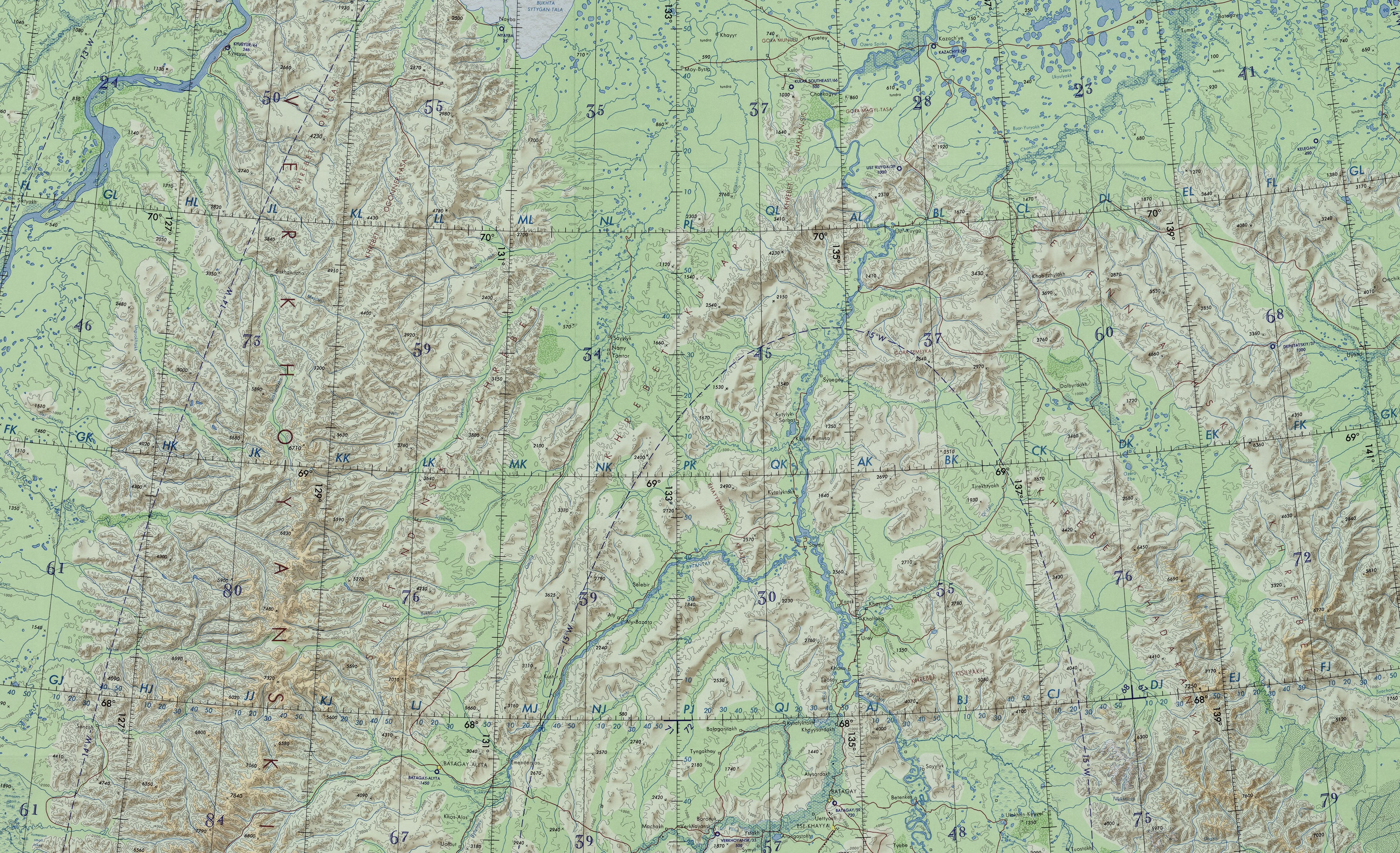 ONC chart section showing the Orulgan Range on the left | |
| Highest point | |
| Peak | Unnamed |
| Elevation | 2,409 m (7,904 ft) |
| Coordinates | 67°34′56″N 128°08′41″E |
| Dimensions | |
| Length | 500 km (310 mi) N / S |
| Geography | |
 Orulgan Range Location in the Sakha Republic, Russia | |
| Location | Sakha Republic, Far Eastern Federal District |
| Parent range | Verkhoyansk Range, East Siberian System |
| Geology | |
| Type of rock | Shale, sandstone, limestone |
| Climbing | |
| Easiest route | From Batagay-Alyta |
History
In 1932 Soviet geologist Ivan Atlasov, Professor of the Arctic and Antarctic Research Institute, carried out geological surveys in Yakutia. He explored and mapped most of the Orulgan Range between the 69th and 67th parallel north, correctly determining the direction and total length of the mountain chain.[2]
Geography
The Orulgan Range is the largest subrange of the Verkhoyansk Range system. It is located in its northern section, running along the main ridge, stretching southwards to the south of the Kharaulakh Range. The Dzhardzhan Range rises to the west and the Sietinden Range to the east, running in a roughly parallel direction, while the smaller Byrandia Range and Kuyellyakh Range rise in the southeast near its southern end.[1][3]
The highest point of the Orulgan Range is an unnamed 2,283 metres (7,490 ft) high peak located in its central section. It is an ultra-prominent summit, and one of the highest peaks of the Verkhoyansk Range. The range has 77 mountain glaciers with a total area of approximately 18 square kilometres (6.9 sq mi). The largest glacier is Kolosov Glacier with an area of 4.4 square kilometres (1.7 sq mi).[1][4][5]
Hydrography
The Orulgan Range is deeply cut by riverine intermontane basins with the Undyulyung, Uel Siktyakh, Begidyan, Sobolokh-Mayan, Menkere, Dzhardzhan, Byosyuke and other right tributaries of the Lena River flowing westwards. To the east flow the Omoloy and its Sietinde, Kuranakh-Yuryakh and Arga-Yuryakh left tributaries, as well as the Bytantay, a left tributary of the Yana River.[1]
Flora
The mountain slopes of the Orulgan are covered with sparse larch forests up to heights between 1,000 metres (3,300 ft) and 1,200 metres (3,900 ft), and with rocky mountain tundra at higher elevations.[1][6]
See also
- List of mountains and hills of Russia
- List of ultras of Northeast Asia
- Orulganitidae
References
- Orulgan (mountains) / Great Soviet Encyclopedia; in 35 vols. / Ch. ed. Yu. S. Osipov. 2004—2017.
- Изучение бассейна Яны Essays of the history of geographical discoveries (in Russian)
- Google Earth
- posibiri.ru - Verkhoyansk Range
- Mountain glaciers of NE Asia in the near future
- A contribution to the moss flora of Orulgan Range (Yakutia)
External links
- Orulgan-Sis in Russian Federation
- Ancient Middle-Carboniferous Flora of the Orulgan Range (Northern Verkhoyansk) and justification of Age Bylykat Formation
This Sakha Republic location article is a stub. You can help Wikipedia by expanding it. |
На других языках
- [en] Orulgan Range
[it] Monti Orulgan
I monti Orulgan (in russo: Орулган?; in lingua sacha: Орулҕан сис) sono una catena montuosa nell'estremo nordest siberiano che fa parte del sistema montuoso dei monti di Verchojansk. Si trovano nella Sacha (Jacuzia), in Russia.[ru] Орулган
Орулга́н — горный хребет в Якутии, в системе Верхоянского хребта, расположенный к югу от Хараулахского хребта.Другой контент может иметь иную лицензию. Перед использованием материалов сайта WikiSort.org внимательно изучите правила лицензирования конкретных элементов наполнения сайта.
WikiSort.org - проект по пересортировке и дополнению контента Википедии