geo.wikisort.org - River
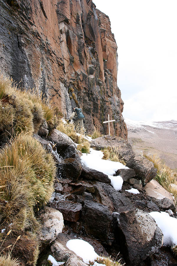
The Apurímac River (Quechua: Apurimaq mayu; Spanish: Río Apurímac, IPA: [ˈri.o apuˈɾimak]; from Quechua apu 'divinity' and rimaq 'oracle, talker') rises from glacial meltwater of the ridge of the Mismi, a 5,597-metre-high (18,363 ft) mountain in the Arequipa Province in the south-western mountain ranges of Peru, 10 km (6.2 mi) from the village Caylloma, and less than 160 km (99 mi) from the Pacific coast. It flows generally northwest past Cusco in narrow gorges with depths of up to 3,000 m, twice as deep as the Grand Canyon, its course interrupted by falls and rapids. Of the six attempts so far to travel the Apurímac in its full length, only two have been successful.
This article may be expanded with text translated from the corresponding article in Spanish. (September 2018) Click [show] for important translation instructions.
|
| Apurímac River | |
|---|---|
 | |
 Amazon Basin with Apurímac River highlighted (lower left) | |
| Location | |
| Country | Peru |
| Region | Apurímac Region, Cusco Region |
| Physical characteristics | |
| Source | Mismi |
| • coordinates | 15°31′31″S 71°41′27″W |
| Mouth | Ene River |
• coordinates | 12°15′46″S 73°58′44″W |
| Length | 730.7 km (454.0 mi) |
| Basin features | |
| Tributaries | |
| • left | Qañawimayu |
| • right | Hatun Wayq'u, Aqumayu |

After 730 kilometres (450 mi), the Apurímac joins the Mantaro River and becomes the Ene River, 440 m (1,440 ft) above sea level; then after joining the Perené River at 330 m (1,080 ft) above sea level, it becomes the Tambo River; when it joins the Urubamba at 280 m (920 ft) above sea level the river becomes the Ucayali, which is the main headstream of the Amazon. Sometimes the complete river from its source to its junction with the Ucayali, including the rivers Ene and Tambo, is called "Apurímac", with a total length of 1,070 km (660 mi).
In the 13th century, the Inca constructed a bridge over this river which gave them access to the west.[1] Erected around 1350, it was still in use in 1864, and dilapidated but still hanging in 1890. It was the basis for the titular bridge in Thornton Wilder's 1927 novel The Bridge of San Luis Rey. One such bridge, Queshuachaca, is reassembled on an annual basis.
See also
- Aqumayu
- Choquequirao
- Hatun Wayq'u
- Majes-Siguas
- Source of the Amazon River
- Arequipa Province
References
- Jonathan Norton Leonard, "Ancient America", Great Ages of Man Series published by Time/Life Books, 1968 p 185
Further reading
- Chisholm, Hugh, ed. (1911). . Encyclopædia Britannica. Vol. 2 (11th ed.). Cambridge University Press. p. 236.
| Authority control |
|
|---|
На других языках
[de] Río Apurímac
Der Río Apurímac (Quechua: Apurimaq) ist ein Fluss im Südosten Perus. Er gilt seit Mitte des 20. Jahrhunderts als Quellfluss des Amazonas und ist etwa seit 1975 als solcher anerkannt.- [en] Apurímac River
[es] Río Apurímac
El río Apurímac es uno de los principales ríos del Perú, un afluente del río Ene que es parte del curso superior del río Ucayali, y en cuya cuenca nace la fuente más lejana del río Amazonas, en las laderas del Nevado Mismi, a 5.597 m (15°31′0″S 71°41′0″O) en el departamento de Arequipa.[it] Apurímac (fiume)
L'Apurímac (in spagnolo Río Apurímac, dalla fusione delle parole indigene apu, divinità e rimac, oracolo) è un fiume del Perù meridionale. Sorge dal Nevado Mismi, una montagna alta 5.597 metri situata nella provincia di Arequipa nel sud del Perù.[ru] Апуримак
Апури́мак (в нижнем течении Эне[1], Тамбо[1], исп. Río Apurímac) — река в Южной Америке, в Перу, левая составляющая реки Укаяли (бассейн Амазонки).Другой контент может иметь иную лицензию. Перед использованием материалов сайта WikiSort.org внимательно изучите правила лицензирования конкретных элементов наполнения сайта.
WikiSort.org - проект по пересортировке и дополнению контента Википедии