geo.wikisort.org - Reservoir
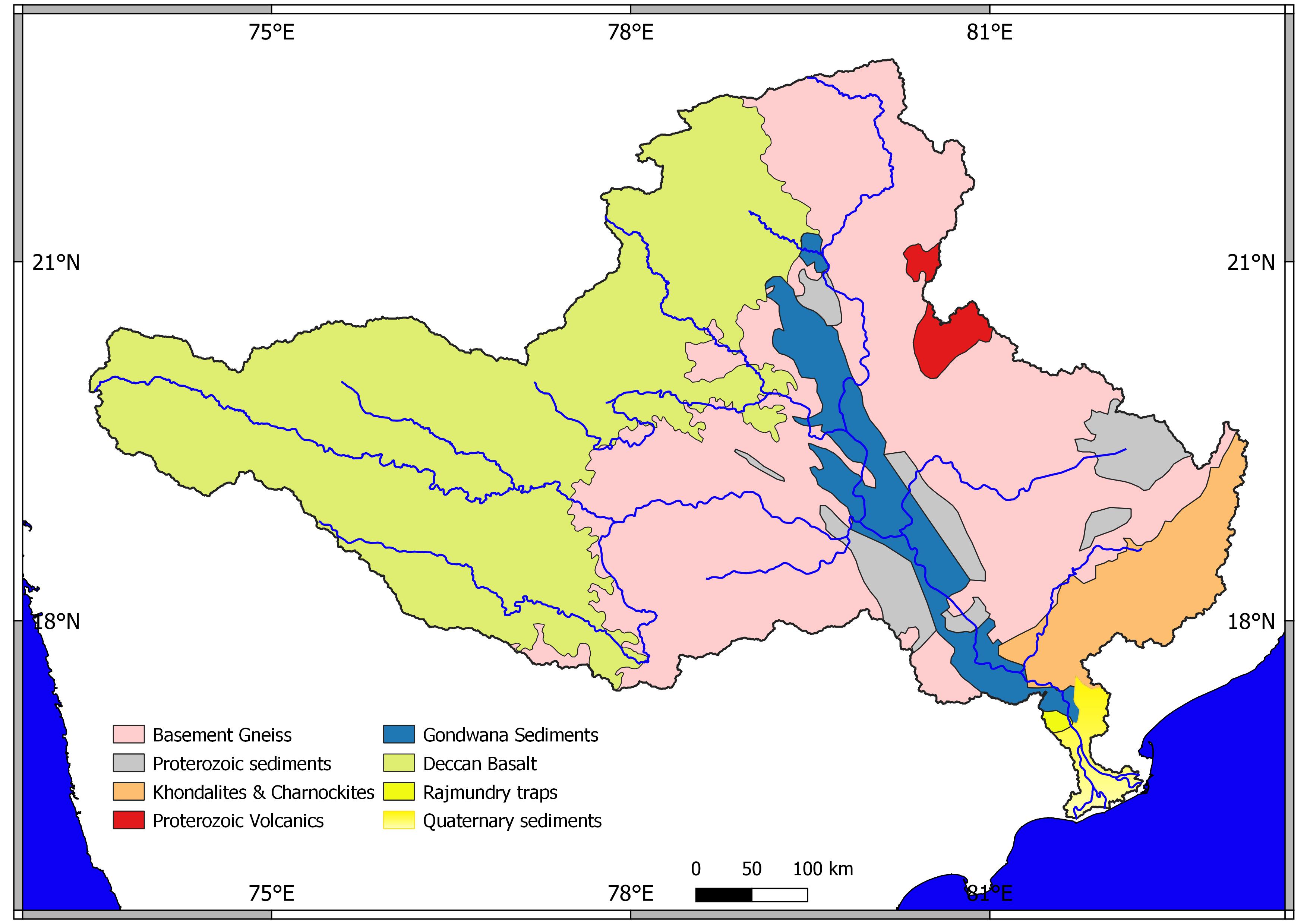
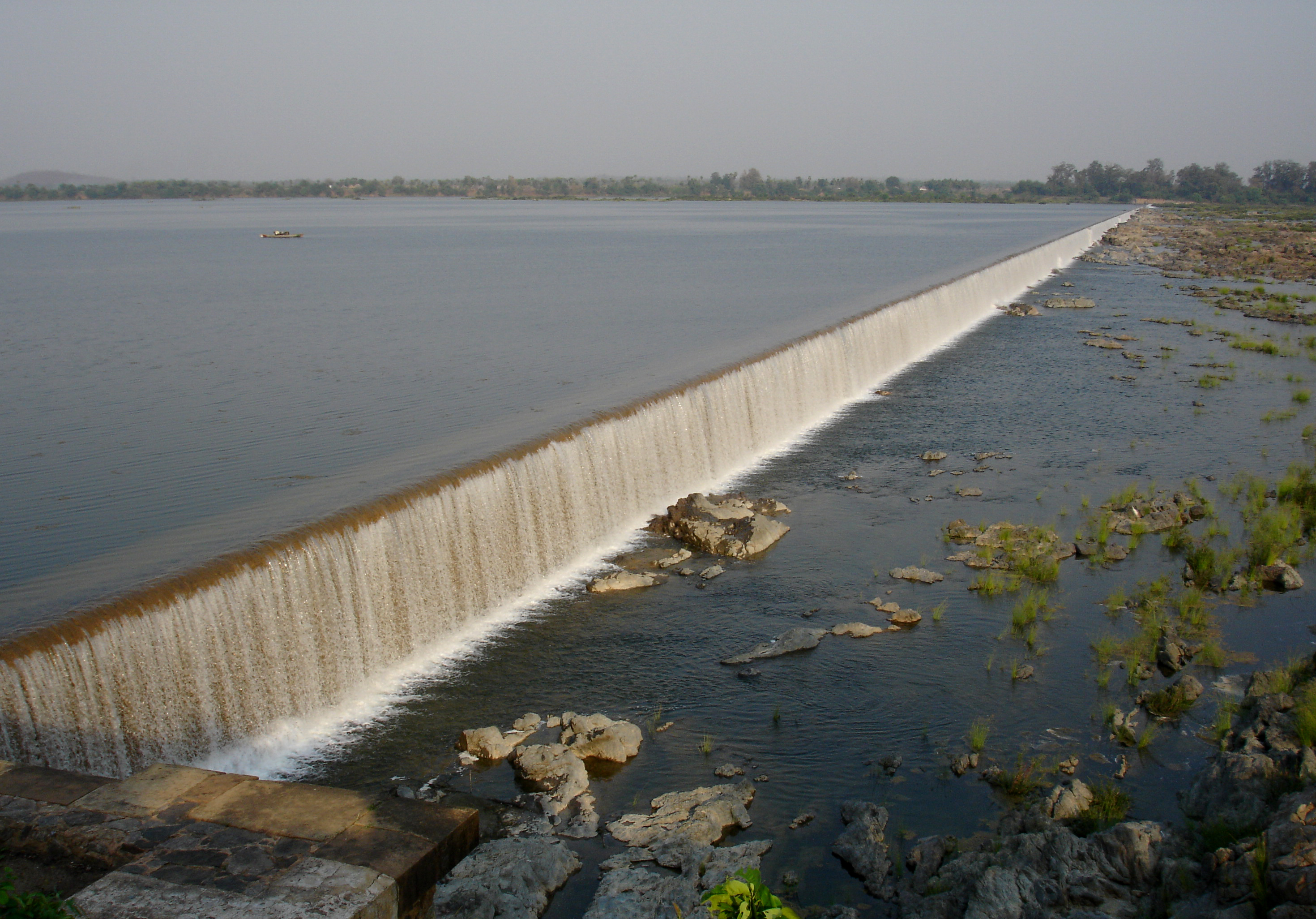
Siddheshwar Dam is an earth-fill dam on Purna River, which is a tributary of River Godavari. This dam is located in the north-western part of Aundha Nagnath, in the Hingoli district of Maharashtra, India.
| Siddheshwar Dam | |
|---|---|
 Location of Siddheshwar Dam in Maharashtra | |
| Official name | Siddheshwar Dam D03206 |
| Location | Siddeshwar |
| Coordinates | 19.5905434°N 76.9560702°E |
| Opening date | 1968[1] |
| Owner(s) | Government of Maharashtra, India |
| Dam and spillways | |
| Type of dam | Earthfill |
| Impounds | Purna river |
| Height | 38.26 m (125.5 ft) |
| Length | 6,353.2 m (20,844 ft) |
| Dam volume | 0.9072 million cubic meters |
| Reservoir | |
| Creates | Siddheshwar |
| Total capacity | 0.251 km3 (0.060 cu mi) |
| Surface area | 40.58 km2 (15.67 sq mi) |
The dam was constructed in the era of Yashwantrao Chavan, the former chief minister of Maharashtra State. The dam serves the purpose of irrigation for Aundha Nagnath and Basmath tehsils of Hingoli. It also provides drinking water to nearby cities such as Nanded and Basmath.
The proposed site for Light Interferometer Gravitational Observatory (LIGO-India) is nearly 6 km away from the dam.
Specifications
The height of the dam above lowest foundation is 38.26 metres (125.5 ft), while the length is 6,353.2 m (20,844 ft). The gross storage capacity is 0.251 km3 (0.060 cu mi) and live storage capacity is 0.081 km3 (0.019 cu mi).[2] It is also known as Rupur camp.
Purpose
- Irrigation
See also
- Dams in Maharashtra
- Godavari River Basin Irrigation Projects
- List of reservoirs and dams in India
References
- "Siddheshwar Dam D03206". Retrieved 26 March 2016.
- "National Register of Large Dams" Archived 21 July 2011 at the Wayback Machine (PDF). Specifications of large dams in India.
Godavari basin | |||||||||||||||
|---|---|---|---|---|---|---|---|---|---|---|---|---|---|---|---|
| Rivers |
|     | |||||||||||||
| Dams, barrages |
| ||||||||||||||
| Geographical features / regions | |||||||||||||||
| Riparian districts |
| ||||||||||||||
| Cities | |||||||||||||||
| Languages / people | |||||||||||||||
| Coalfields |
| ||||||||||||||
| Oil / gas fields |
| ||||||||||||||
| Industries |
| ||||||||||||||
| Transport |
| ||||||||||||||
| Pollution concerns, River basin's sustainable productivity & ecology |
| ||||||||||||||
| Related topics |
| ||||||||||||||
| Other basins | |||||||||||||||
Другой контент может иметь иную лицензию. Перед использованием материалов сайта WikiSort.org внимательно изучите правила лицензирования конкретных элементов наполнения сайта.
WikiSort.org - проект по пересортировке и дополнению контента Википедии