geo.wikisort.org - Reservoir
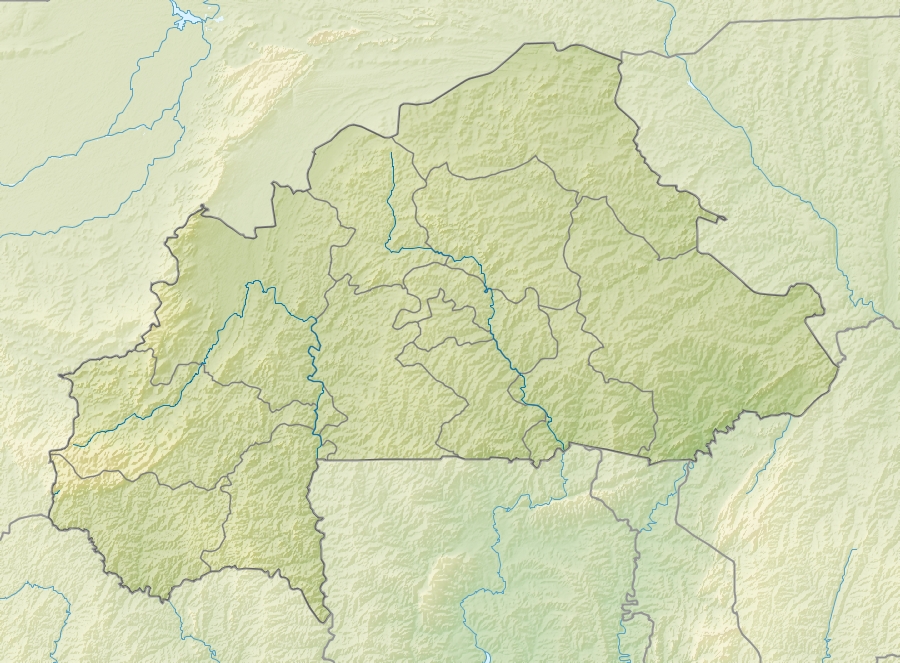
Lake Higa is a small lake in eastern Burkina Faso, close to the border with Niger. It drains into the Babangou, which drains into the Niger.[2] It has an area of 228 ha.[2] It lies at an elevation of 271 m (889 feet).[3] In 2009 the site around Lake Higa was included in the List of Ramsar wetlands of international importance.[4]
| Lake Higa | |
|---|---|
 Lake Higa | |
| Location | Burkina Faso |
| Coordinates | 13.613622°N 0.721664°E |
| Primary outflows | Babangou |
| Basin countries | Burkina Faso |
| Surface area | 228 ha (560 acres) |
| Surface elevation | 271 m (889 ft) |
Ramsar Wetland | |
| Official name | Lac Higa |
| Designated | 7 October 2009 |
| Reference no. | 1883[1] |
References
- "Lac Higa". Ramsar Sites Information Service. Retrieved 25 April 2018.
- Mepham, Robert; R. H. Hughes; J. S. Hughes (1992). A directory of African wetlands. IUCN. p. 316. ISBN 2-88032-949-3.
- "Burkina Faso Lakes". Index Mundi. 2006. Retrieved 13 March 2010.
- Kibata, Cynthia (1 October 2009). "Twelve new Ramsar sites in Burkina Faso". Ramsar Convention. Retrieved 13 March 2010.
This Burkina Faso location article is a stub. You can help Wikipedia by expanding it. |
Текст в блоке "Читать" взят с сайта "Википедия" и доступен по лицензии Creative Commons Attribution-ShareAlike; в отдельных случаях могут действовать дополнительные условия.
Другой контент может иметь иную лицензию. Перед использованием материалов сайта WikiSort.org внимательно изучите правила лицензирования конкретных элементов наполнения сайта.
Другой контент может иметь иную лицензию. Перед использованием материалов сайта WikiSort.org внимательно изучите правила лицензирования конкретных элементов наполнения сайта.
2019-2026
WikiSort.org - проект по пересортировке и дополнению контента Википедии
WikiSort.org - проект по пересортировке и дополнению контента Википедии