geo.wikisort.org - Reservoir
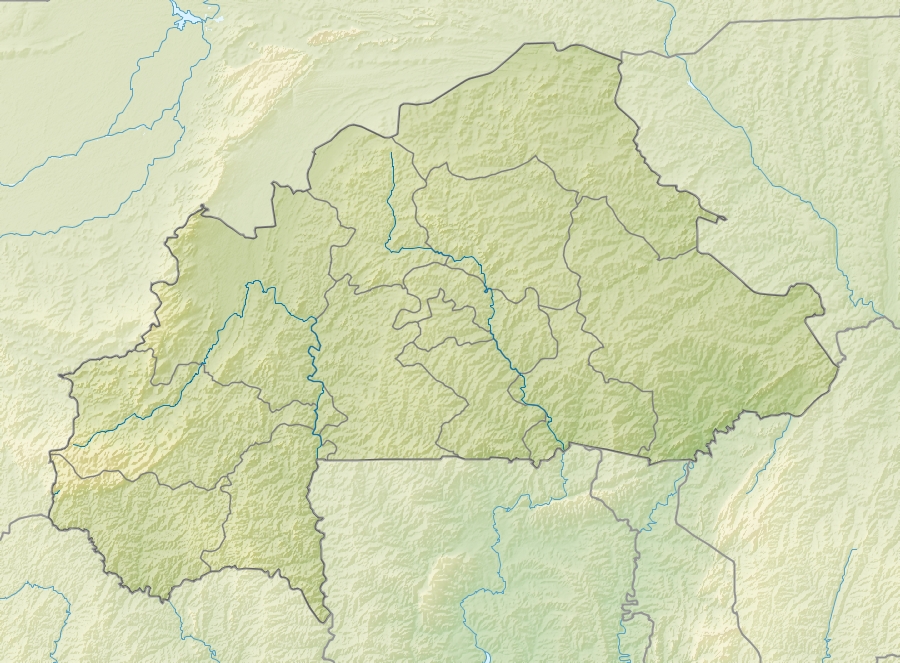
Lake Dem is a small lake in northern Burkina Faso, located to the north of Kaya, south of the Sahel Reserve and south-east of Lake Bam. It drains into the White Volta.[2] It is 5 km long and 2 km wide.[2] It lies at an elevation of 304 m (997 feet).[3] The lake has been designated as a Ramsar site since 2009.[1]
| Lake Dem | |
|---|---|
 Lake Dem, seen from the eastern shore | |
 Lake Dem | |
| Location | Burkina Faso |
| Coordinates | 13°11′43″N 1°09′02″W |
| Primary outflows | White Volta |
| Basin countries | Burkina Faso |
| Max. length | 5 km (3.1 mi) |
| Max. width | 2 km (1.2 mi) |
| Surface elevation | 304 m (997 ft) |
Ramsar Wetland | |
| Official name | Lac Dem |
| Designated | 7 October 2009 |
| Reference no. | 1882[1] |
See also
 Lakes portal
References
- "Lac Dem". Ramsar Sites Information Service. Retrieved 25 April 2018.
- Mepham, Robert; R. H. Hughes; J. S. Hughes (1992). A directory of African wetlands. IUCN. p. 316. ISBN 2-88032-949-3.
- "Burkina Faso Lakes". Index Mundi. 2006. Retrieved 24 February 2010.
This Burkina Faso location article is a stub. You can help Wikipedia by expanding it. |
На других языках
[de] Demsee
Der Demsee liegt im Norden Burkina Fasos.- [en] Lake Dem
[it] Lago Dem
Il lago Dem è un piccolo lago nel nord del Burkina Faso, situato a nord di Kaya, a sud della riserva del Sahel e a sud-est del lago Bam. Defluisce nel Volta Bianco. È lungo 5 km e largo 2 km. Si trova ad un'altitudine di 304 m.Текст в блоке "Читать" взят с сайта "Википедия" и доступен по лицензии Creative Commons Attribution-ShareAlike; в отдельных случаях могут действовать дополнительные условия.
Другой контент может иметь иную лицензию. Перед использованием материалов сайта WikiSort.org внимательно изучите правила лицензирования конкретных элементов наполнения сайта.
Другой контент может иметь иную лицензию. Перед использованием материалов сайта WikiSort.org внимательно изучите правила лицензирования конкретных элементов наполнения сайта.
2019-2026
WikiSort.org - проект по пересортировке и дополнению контента Википедии
WikiSort.org - проект по пересортировке и дополнению контента Википедии