geo.wikisort.org - Reservoir
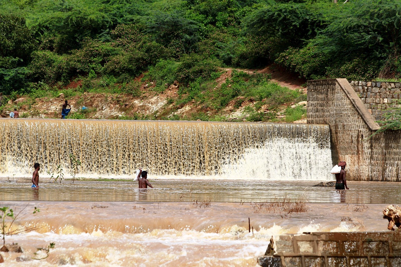
Kodiveri Dam is located on the Bhavani river near Sathyamangalam in Tamil Nadu.[1] The dam is situated along the State Highway 15 about 15 km (9.3 mi) from Gobichettipalayam towards Sathyamangalam. From Sathyamangalam via Aalatthukombai the dam is at a distance of 7 km (4.3 mi).
| Kodiveri dam | |
|---|---|
 | |
| Official name | Kodiveri anaicut |
| Country | India |
| Location | Akkarai Kodiveri, Gobichettipalayam Taluk, Tamil Nadu |
| Coordinates | 11°28′23″N 77°17′47″E |
| Purpose | Irrigation |
| Status | In use |
| Owner(s) | Government of Tamil Nadu |
| Dam and spillways | |
| Impounds | Bhavani River |
| Reservoir | |
| Creates | Kodiveri |
History
It was constructed by Kongalvan Vettuva Gounder King in the year 1125 AD.[2][3] Creating the dam consisted of carving a 20-foot wall of rock. The stones were then interlocked with iron bars and lead was used as mortar. These features, however, are not visible except in the dry season when the water level in the river drops considerably.[4]
Hydrography
The dam is built on the Bhavani river. Two channels arise from the dam, Arakkankottai on the northern side of Bhavani river and Thadapalli on the southern side.[5][6] Lands north of Gobichettipalayam are irrigated by Thadapalli channel and cultivation of sugarcane and paddies are predominant in this area. The dam irrigates an area of 24,504 acres (9,916 ha).[7]
Recreation
The dam is a popular tourist spot. The park, associated play area and coracle rides are the main attractions.[8]
See also
- List of reservoirs and dams in India
References
- "Kodiveri dam". Government of Tamil Nadu. Archived from the original on 25 January 2016. Retrieved 1 February 2016.
- "TamilNadu Government should erect statue for Kongaalvan". Dinamani (in Tamil). Retrieved 1 June 2015.
- "Kongalavan who built Kodiveri dam". Dinakaran (in Tamil). Retrieved 1 June 2015.
- Indian Archaeology, a Review. Archaeological Survey of India. 1994.
- Saravanan, Velayutham (2020). Water and the Environmental History of Modern India. Bloomsbury Publishing. ISBN 9781350130845.
- "Water available in Bhavani Sagar reservoir sufficient for second crop". The Hindu. 8 December 2015.
- "Water released into canals to irrigate 24,504 acres". The Hindu. 1 August 2015.
- "Kodiveri Dam, a weekend tourist destination in Erode district". The Hindu. 9 June 2014.
External links
| District Headquarters |
|  |
|---|---|---|
| Country |
| |
| State | ||
| Region | ||
| Divisions |
| |
| Taluks |
| |
| Municipal Corporations |
| |
| Municipalities | ||
| Other Major Panchayat Towns |
| |
| Rivers | ||
| History |
| |
| Temples |
| |
| Places of interest |
| |
| ||
This article about a dam, floodgate or canal in India is a stub. You can help Wikipedia by expanding it. |
Другой контент может иметь иную лицензию. Перед использованием материалов сайта WikiSort.org внимательно изучите правила лицензирования конкретных элементов наполнения сайта.
WikiSort.org - проект по пересортировке и дополнению контента Википедии