geo.wikisort.org - Reservoir
The Kasserine Dam was a Roman dam at Kasserine (ancient Cillium), Tunisia. The curved structure which dates to the 2nd century AD is variously classified as arch-gravity dam[1] or gravity dam.[2]
| Kasserine Dam | |
|---|---|
 Kasserine Dam in the 1880s, by Eugène Girardet | |
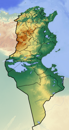 Location of Kasserine Dam in Tunisia | |
| Location | Kasserine, Kasserine Governorate, Tunisia |
| Coordinates | |
| Opening date | 2nd century |
| Dam and spillways | |
| Height | 10 m |
| Length | 150 m |
| Width (base) | 7.3 m |
The dam consisted of a core of earth and rubble faced with mortared blocks of cut stone. The upstream face is vertical, while the downstream side steps down through six courses and then continues vertically for 3.8 m. The thickness at the crest is 4.9 m, and at the base 7.3 m.[3]
See also
- List of Roman dams and reservoirs
- Roman architecture
- Roman engineering
Notes
- James & Chanson 2002
- Smith 1971, pp. 35f.; Schnitter 1978, p. 30
- Jansen, Robert B. (1983). Dams and Public Safety. U.S. Department of the Interior, Bureau of Reclamation. p. 18. Retrieved Jan 31, 2021.
References
- James, Patrick; Chanson, Hubert (2002), "Historical Development of Arch Dams. From Roman Arch Dams to Modern Concrete Designs", Australian Civil Engineering Transactions, CE43: 39–56
- Schnitter, Niklaus (1978), "Römische Talsperren", Antike Welt, 8 (2): 25–32
- Smith, Norman (1971), A History of Dams, London: Peter Davies, ISBN 0-432-15090-0
| Portugal |  | |
|---|---|---|
| Spain | ||
| Syria | ||
| Other countries | ||
This article about a building or structure in Tunisia is a stub. You can help Wikipedia by expanding it. |
На других языках
[de] Kasserine-Staudamm
Der Kasserine-Staudamm war ein zur Trinkwasserspeicherung und Feldbewässerung angelegter römischer Staudamm am Rand der Römerstadt Cillium westlich der heutigen Stadt Kasserine in Tunesien.- [en] Kasserine Dam
Текст в блоке "Читать" взят с сайта "Википедия" и доступен по лицензии Creative Commons Attribution-ShareAlike; в отдельных случаях могут действовать дополнительные условия.
Другой контент может иметь иную лицензию. Перед использованием материалов сайта WikiSort.org внимательно изучите правила лицензирования конкретных элементов наполнения сайта.
Другой контент может иметь иную лицензию. Перед использованием материалов сайта WikiSort.org внимательно изучите правила лицензирования конкретных элементов наполнения сайта.
2019-2025
WikiSort.org - проект по пересортировке и дополнению контента Википедии
WikiSort.org - проект по пересортировке и дополнению контента Википедии