geo.wikisort.org - Reservoir
Crummock Water is a lake in the Lake District in Cumbria, North West England situated between Buttermere to the south and Loweswater to the north. Crummock Water is 2.5 miles (4.0 km) long, 0.6 miles (0.97 km) wide and 140 feet (43 m) deep. The River Cocker is considered to start at the north of the lake, before then flowing into Lorton Vale. The hill of Mellbreak runs the full length of the lake on its western side; as Alfred Wainwright described it 'no pairing of hill and lake in Lakeland have a closer partnership than these'. The lake is owned by the National Trust.
| Crummock Water | |
|---|---|
 Crummock Water from Red Pike | |
 map (1925) | |
| Location | Lake District, Cumbria |
| Coordinates | 54°33′N 3°18′W |
| Type | Ribbon |
| Primary inflows | Buttermere Dubs |
| Primary outflows | River Cocker |
| Basin countries | United Kingdom |
| Max. length | 2.5 mi (4.0 km) |
| Max. width | 0.6 mi (0.97 km) |
| Surface area | 2.57 km2 (0.99 sq mi) |
| Max. depth | 140 ft (43 m) |
| Shore length1 | 6.26 mi (10.07 km) |
| Surface elevation | 96 m (315 ft) |
| Islands | 6 |
| 1 Shore length is not a well-defined measure. | |


"The meaning of 'Crummock' seems to be 'Crooked one', from British" (Brythonic Celtic) "'crumbaco'-'crooked'".[1] This may refer to the winding course of the River Cocker, which flows out of the lake, or refer to the bending nature of the lake itself. The word "'water' is the main Lakeland term for 'lake'".[1]
Scale Force, the highest waterfall in the Lake District, feeds the lake and has a drop of 170 feet (52 m).[2]
Water from the lake was treated at Cornhow water treatment works, near Loweswater,[3] and was distributed to the towns of Silloth-on-Solway, Maryport, Workington, and many smaller towns, villages, and hamlets in the surrounding area for drinking and all other uses.[4] This use ceased in October 2022 with the commissioning of the United Utilities pipeline to bring supply from Thirlmere.[5]
Crummock Water gained attention in 1988 when the body of Sheena Owlett was found in the lake. It later transpired she had been murdered in Wetherby, West Yorkshire.
Gallery
 Crummock Water with Grasmoor in the distance
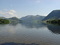 Looking down Crummock towards Buttermere
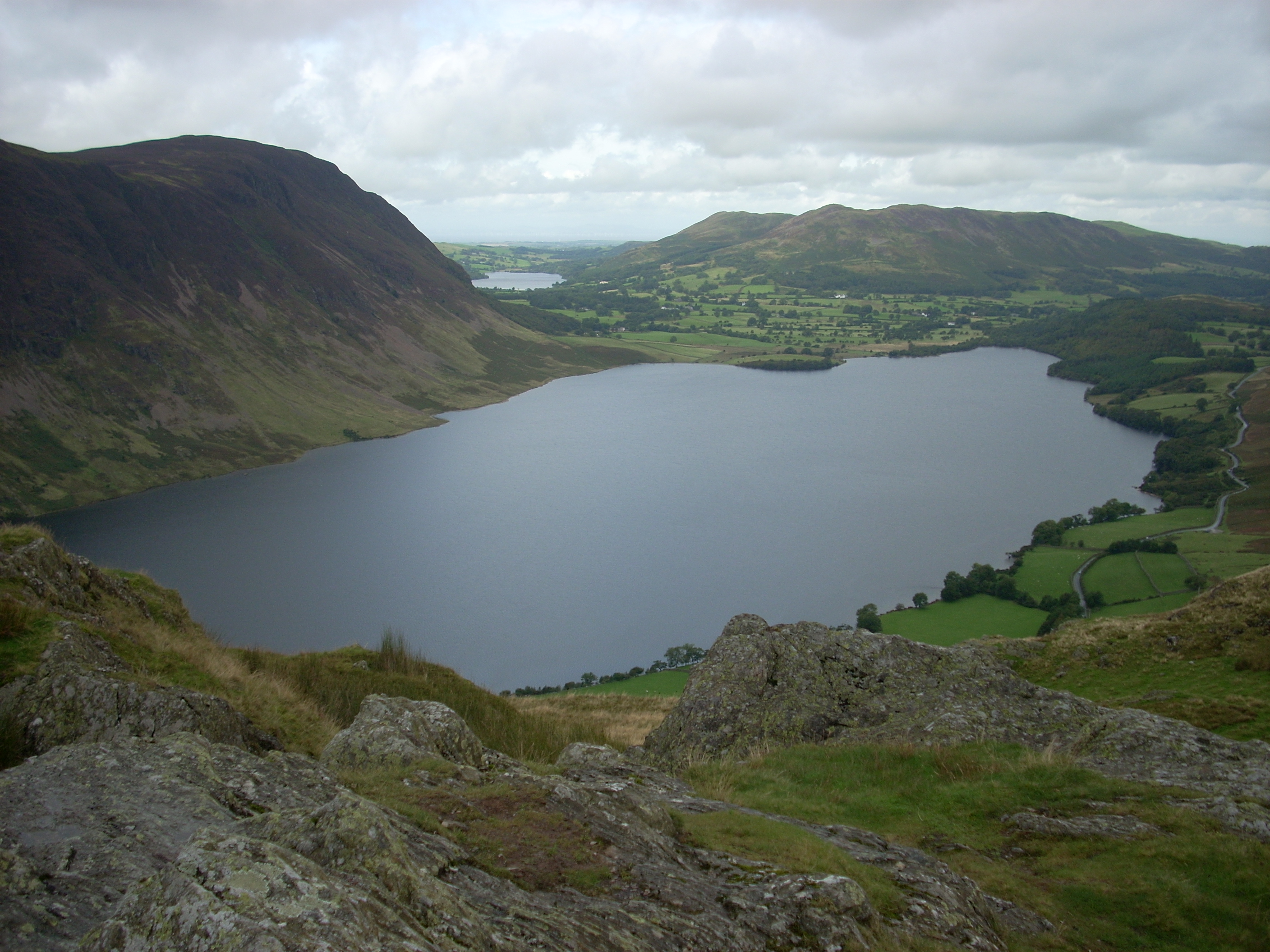
 The western end of Crummock Water from Rannerdale Knotts
 Crummock Water from the south-eastern end


References
- Whaley, Diana (2006). A dictionary of Lake District place-names. Nottingham: English Place-Name Society. pp. lx, 423 p.89. ISBN 0904889726.
- "Crummock Water". Waterscape.
- "DEFRA - North Cumbria Sporadic Cryptosporidiosis Study" (PDF). Retrieved 24 February 2015.
- "Times & Star - Public misled over fluoride in west Cumbrian water". Archived from the original on 24 February 2015. Retrieved 24 February 2015.
- "Home - West Cumbria Pipeline".
External links
|
This Cumbria location article is a stub. You can help Wikipedia by expanding it. |
На других языках
[de] Crummock Water
Crummock Water ist ein See im nordenglischen Nationalpark Lake District. Er ist zwischen 500 und 900 Meter breit, vier Kilometer lang und 44 Meter tief und gehört dem National Trust.- [en] Crummock Water
[it] Crummock Water
Il Crummock Water è un lago di 2,57 km² dell'Inghilterra nord-occidentale, situato nel Lake District National Park, nella contea della Cumbria.Другой контент может иметь иную лицензию. Перед использованием материалов сайта WikiSort.org внимательно изучите правила лицензирования конкретных элементов наполнения сайта.
WikiSort.org - проект по пересортировке и дополнению контента Википедии