geo.wikisort.org - Stillgewässer
Der Enriquillo-See (spanisch Lago Enriquillo) ist ein 375 km²[1] großer Salzsee im Westen der Dominikanischen Republik nahe der Grenze zu Haiti im Parque Nacional Isla Cabritos. Er ist der größte See der Antillen. Benannt ist er nach Enriquillo, einem Häuptling der Taíno. Im See liegt die 25 km² große Insel Cabritos, die letzte Zuflucht der Taíno.[2]
| Lago Enriquillo | ||
|---|---|---|
 | ||
| Geographische Lage | Parque Nacional Isla Cabritos, Provinz Independencia, Dominikanische Republik | |
| Zuflüsse | Rivière Soliette | |
| Abfluss | keiner | |
| Inseln | Cabritos | |
| Ufernaher Ort | Jimaní | |
| Daten | ||
| Koordinaten | 18° 31′ N, 71° 40′ W | |
| ||
| Tiefe unter Meeresspiegel | 40 m unter dem Meeresspiegel | |
| Fläche | 375 km²[1] | |
| Länge | 40 km | |
| Breite | 12,5 km | |
|
Besonderheiten |
Salzsee | |
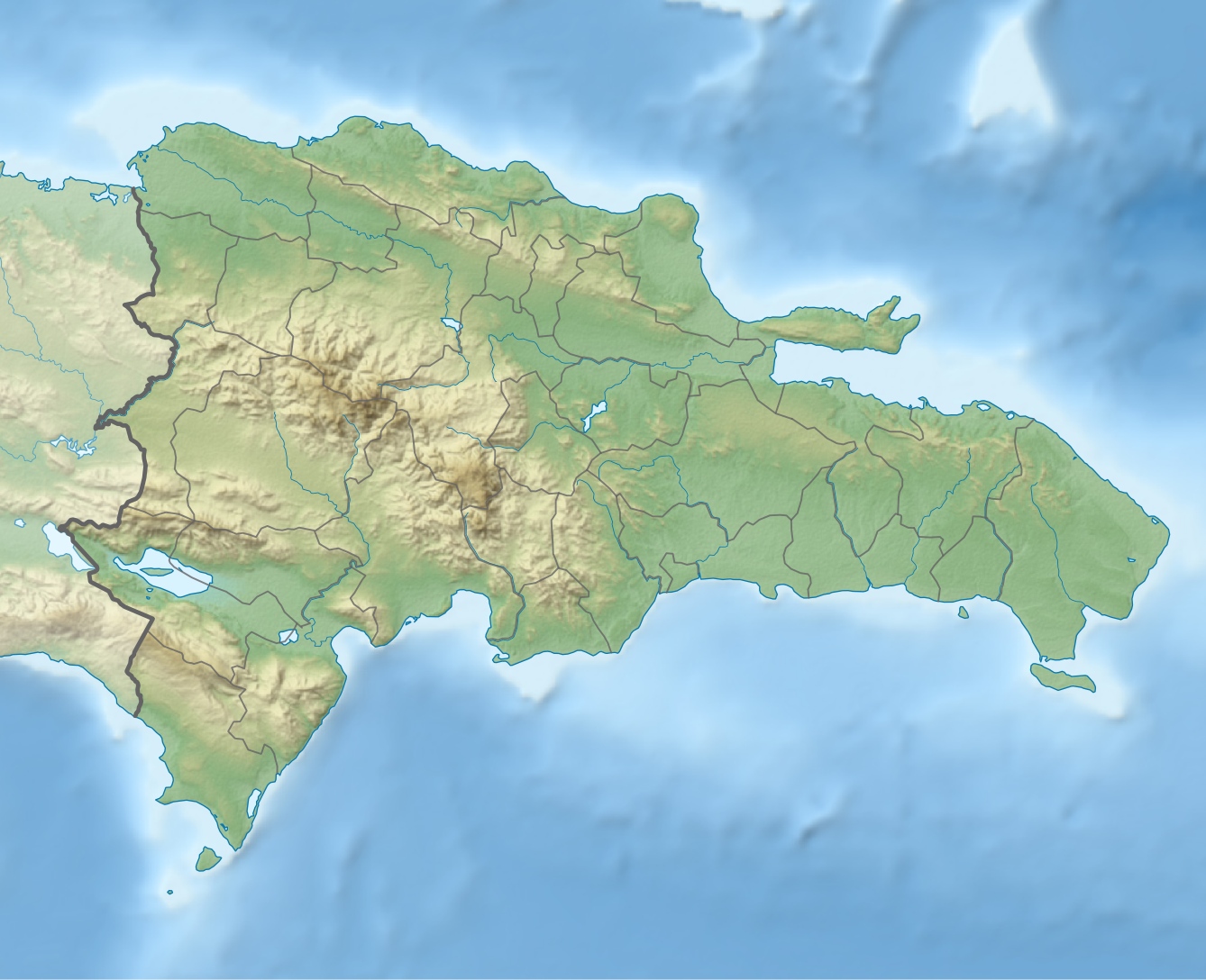
Bei dem See handelt es sich um einen ehemaligen Meeresarm zwischen den Gebirgsketten Sierra de Neiba und Sierra Baoruco, der heute 40 Meter unter dem Meeresspiegel liegt. Er ist damit der niedrigste Punkt der Karibik. Durch seine Entstehung sind an den Ufern noch Reste von Steinkorallen zu finden.[3] An den Ufern des Sees und auf Cabritos leben Nashornleguane, Spitzkrokodile und Flamingos.[4]
Weblinks
Einzelnachweise
- Agencia EFE: UE otorga 200.000 euros a afectados por la crecida Lago Enriquillo Archiviert vom Original am 7. April 2014. Info: Der Archivlink wurde automatisch eingesetzt und noch nicht geprüft. Bitte prüfe Original- und Archivlink gemäß Anleitung und entferne dann diesen Hinweis. In: Listín Diario. 20. Oktober 2011. Abgerufen am 19. Juli 2012. „(...) según el Instituto Nacional de Recursos Hidráulicos (INDHRI), su superficie ha alcanzado 37.500 hectáreas.“
- Informationen zu den Nationalparks der Dominikanischen Republik
- Artikel über ein Abkommen zwischen Haiti und der Dominikanischen Republik
- Reisebericht über den See
На других языках
- [de] Lago Enriquillo
[en] Lake Enriquillo
Lake Enriquillo (Spanish: Lago Enriquillo) is a hypersaline lake in the Dominican Republic located in the southwestern region of the country. Its waters are shared between the provinces of Bahoruco and Independencia, the latter of which borders Haiti. Lake Enriquillo is the largest lake in both the Dominican Republic and Hispaniola, as well as the entire Caribbean. It is also the lowest point for an island country.[4][es] Lago Enriquillo
El lago Enriquillo es la mayor reserva natural de agua de la La Española y de todas las Antillas en su conjunto, con una superficie de 265 km² hacia octubre de 2011,[2] aunque su área no es constante. Es el resto de un antiguo canal marino que unía las bahías de Neiba y Puerto Príncipe en la República Dominicana. Sus aguas son compartidas entre las provincias Independencia y Bahoruco. Forma parte del parque nacional lago Enriquillo e isla Cabritos y de la reserva de la biósfera Jaragua-Bahoruco-Enriquillo.[fr] Lac Enriquillo
Le lac Enriquillo est une grande étendue d'eau salée située en République dominicaine.[it] Lago Enriquillo
Il lago Enriquillo è una vasta distesa di acqua salmastra situata, nella Repubblica Dominicana, nella parte più depressa della pianura del Cul-de-Sac. Si estende tra la Sierra de Neiba a nord e la Sierra de Baoruco a sud.[ru] Энрикильо
Энрикильо (исп. Enriquillo) — бессточное солёное озеро на острове Гаити, расположено в западной части Доминиканской Республики. Является одним из немногих солёных озёр в мире, в которых обитают крокодилы.Другой контент может иметь иную лицензию. Перед использованием материалов сайта WikiSort.org внимательно изучите правила лицензирования конкретных элементов наполнения сайта.
WikiSort.org - проект по пересортировке и дополнению контента Википедии