geo.wikisort.org - Montagne
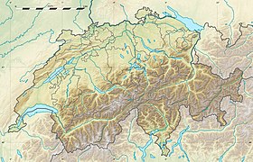
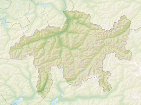
Le piz Lunghin est une montagne des Alpes suisses située dans le canton des Grisons.
Pour les articles homonymes, voir Lunghin.
| Piz Lunghin | |
 Le lac de Sils avec, au centre droit de la photo, le piz Lunghin. | |
| Géographie | |
|---|---|
| Altitude | 2 779 m[1] |
| Massif | Chaîne de l'Albula (Alpes) |
| Coordonnées | 46° 24′ 38″ nord, 9° 40′ 13″ est[1] |
| Administration | |
| Pays | |
| Canton | Grisons |
| Régions | Maloja, Albula |
| modifier |
|
Géographie
Le piz Lunghin est situé dans la chaîne de l'Albula. À proximité de cette montagne se trouve le col du Lunghin, près du point de partage des eaux entre l'océan Atlantique (Rhin), la mer Méditerranée (Pô) et la mer Noire (Danube).

Notes et références
- Visualisation sur Swisstopo.
- Portail de la montagne
- Portail de la géographie de la Suisse
- Portail des Alpes
- Portail du canton des Grisons
На других языках
[de] Piz Lunghin
Der Piz Lunghin ist ein 2780 m ü. M. hoher Berg westlich von Maloja im Kanton Graubünden in der Schweiz. Lunghin soll auf den italienischen Familiennamen Longhini zurückgehen, an En 'Inn' angelehnt, dialektal 1495 Lungeno.[1] Wegen der schönen Aussicht ins Oberengadin und ins Bergell wird der Gipfel sowohl im Sommer als auch im Winter oft besucht.[en] Piz Lunghin
Piz Lunghin (2,780 m) is a mountain in the Swiss canton of Graubünden, located in the Albula range, overlooking the Maloja Pass. It is considered as the "roof of Europe" as the peak is nearby the triple watershed of the Lunghin pass. Water running off this mountain can head towards the Mediterranean, the North Sea and the Black Sea, respectively by the rivers Po, Rhein, and Danube.- [fr] Piz Lunghin
[it] Piz Lunghin
Il Piz Lunghin (talvolta detto Pizzo Lunghin) è una montagna delle Alpi, la sua altezza è di 2.780 metri s.l.m..[ru] Пик Лунгин
Пик Лунгин (нем. Piz Lunghin) — горная вершина в швейцарском кантоне Граубюнден, расположенная на хребте Альбула[en] с видом на перевал Малоя. Высота — 2780 метров над уровнем моря. Её можно считать «крышей Европы», так как осадки, выпадающие на склоны горы, стекают в 3 крупных бассейна: Средиземное море и Чёрное море, а также непосредственно Атлантический океан.[1]Текст в блоке "Читать" взят с сайта "Википедия" и доступен по лицензии Creative Commons Attribution-ShareAlike; в отдельных случаях могут действовать дополнительные условия.
Другой контент может иметь иную лицензию. Перед использованием материалов сайта WikiSort.org внимательно изучите правила лицензирования конкретных элементов наполнения сайта.
Другой контент может иметь иную лицензию. Перед использованием материалов сайта WikiSort.org внимательно изучите правила лицензирования конкретных элементов наполнения сайта.
2019-2025
WikiSort.org - проект по пересортировке и дополнению контента Википедии
WikiSort.org - проект по пересортировке и дополнению контента Википедии

