geo.wikisort.org - Mountains
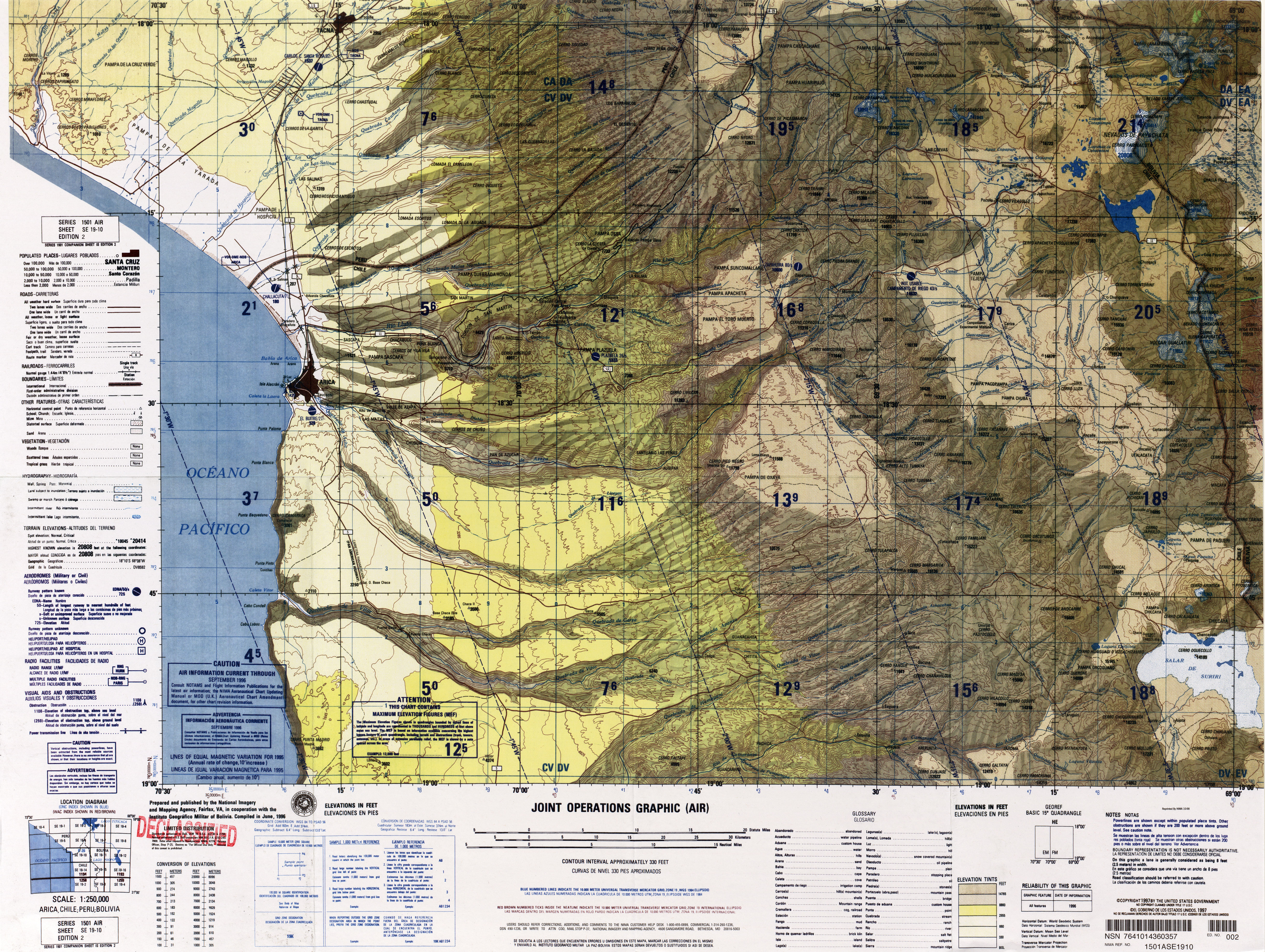
Wila Qullu (Aymara wila red or blood, qullu mountain,[2] "red mountain", Hispanicized spelling Wila Kkollu) is a 4,730-metre-high (15,518 ft) mountain in the Cordillera Occidental in the Andes of Bolivia. It is located in the Oruro Department, Sajama Province, Turco Municipality, Chachacomani Canton. The mountain is situated east of the volcanoes Capurata, Acotango and Wallatiri and north-east of the mountain Ari Qullu Phujru. It lies south of the Bolivian Route 4 that leads to Tambo Quemado on the border with Chile.
| Wila Qullu | |
|---|---|
 Wila Qullu Location in Bolivia | |
| Highest point | |
| Elevation | 4,730 m (15,520 ft)[1] |
| Coordinates | 18°24′08″S 68°58′21″W |
| Geography | |
| Location | Bolivia, Oruro Department |
| Parent range | Andes, Cordillera Occidental |
There is a valley north of Wila Qullu named Wila Q'awa (Aymara for "red brook" or "red ravine", Wila Khaua). Its intermittent stream flows to the south-east where it meets the Sajama River as a right affluent.[1][3]
See also
- Kuntur Ikiña
- Umurata
- Wallatiri
- Sajama National Park
- Salla Qullu
- List of mountains in the Andes
References
- Bolivian IGM map 1:50,000 Chachacomani Hoja 5838-IV
- www.katari.org Aymara-Spanish dictionary
- "Turco". Retrieved September 20, 2014. Turco Municipality:population data and map
Текст в блоке "Читать" взят с сайта "Википедия" и доступен по лицензии Creative Commons Attribution-ShareAlike; в отдельных случаях могут действовать дополнительные условия.
Другой контент может иметь иную лицензию. Перед использованием материалов сайта WikiSort.org внимательно изучите правила лицензирования конкретных элементов наполнения сайта.
Другой контент может иметь иную лицензию. Перед использованием материалов сайта WikiSort.org внимательно изучите правила лицензирования конкретных элементов наполнения сайта.
2019-2026
WikiSort.org - проект по пересортировке и дополнению контента Википедии
WikiSort.org - проект по пересортировке и дополнению контента Википедии