geo.wikisort.org - Mountains
Webber Nunatak is a nunatak (495 m) standing 6 nautical miles (11 km) west of Mount Manthe in the Hudson Mountains. It was mapped using air photos taken by U.S. Navy Operation Highjump, which took place during 1946 and 1947, and named in 1967 by the Advisory Committee on Antarctic Names (US-ACAN) for George E. Webber, an electrical engineer at Byrd Station.[1]
| Webber Nunatak | |
|---|---|
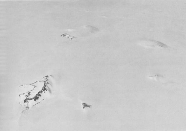 Aerial view of the southern Hudson Mountains, with Webber Nunatak in the left foreground. | |
| Highest point | |
| Elevation | 495 m (1,624 ft)[1] |
| Coordinates | 74°47′S 99°50′W |
| Geography | |
 Webber Nunatak Ellsworth Land, Antarctica | |
| Geology | |
| Mountain type | Volcanic cone |
Webber Nunatak is one of several volcanic cones in the Hudson Mountains. Satellite imagery suggested an eruption at Webber Nunatak in 1985, although this remains unconfirmed.[2]
References
- "Webber Nunatak". Geographic Names Information System. United States Geological Survey. Retrieved 31 August 2020.
- "Hudson Mountains". Global Volcanism Program. Smithsonian Institution. Retrieved 31 August 2020.
This Ellsworth Land location article is a stub. You can help Wikipedia by expanding it. |
На других языках
[de] Webber-Nunatak
Der Webber-Nunatak ist ein 495 m hoher Nunatak im westantarktischen Ellsworthland. Er ragt 11 km westlich des Mount Manthe im südlichen Teil des Hudson-Gebirges auf.- [en] Webber Nunatak
Текст в блоке "Читать" взят с сайта "Википедия" и доступен по лицензии Creative Commons Attribution-ShareAlike; в отдельных случаях могут действовать дополнительные условия.
Другой контент может иметь иную лицензию. Перед использованием материалов сайта WikiSort.org внимательно изучите правила лицензирования конкретных элементов наполнения сайта.
Другой контент может иметь иную лицензию. Перед использованием материалов сайта WikiSort.org внимательно изучите правила лицензирования конкретных элементов наполнения сайта.
2019-2026
WikiSort.org - проект по пересортировке и дополнению контента Википедии
WikiSort.org - проект по пересортировке и дополнению контента Википедии