geo.wikisort.org - Mountains
The Plessur Alps are a mountain range in the Alps of eastern Switzerland. They are considered to be part of the Western Rhaetian Alps. They are named after the river Plessur, which originates from the center of the ranges. The Plessur Alps are separated from the Glarus Alps in the west by the Rhine valley; from the Rätikon range in the north by the Landquart river valley (Prättigau); from the Albula Alps in the south-east by the Landwasser river valley; from the Oberhalbstein Alps in the south by the Albula river valley.
| Plessur Alps | |
|---|---|
 Aroser Weisshorn (2,653m/8,704ft) | |
| Highest point | |
| Peak | Aroser Rothorn |
| Elevation | 2,985 m (9,793 ft) |
| Coordinates | 46°44′N 9°38′E |
| Naming | |
| Native name | Plessuralpen (German) |
| Geography | |

| |
| Country | Switzerland |
| State | Graubünden |
| Parent range | Western Rhaetian Alps |
| Topo map | Swiss Federal Office of Topography swisstopo |
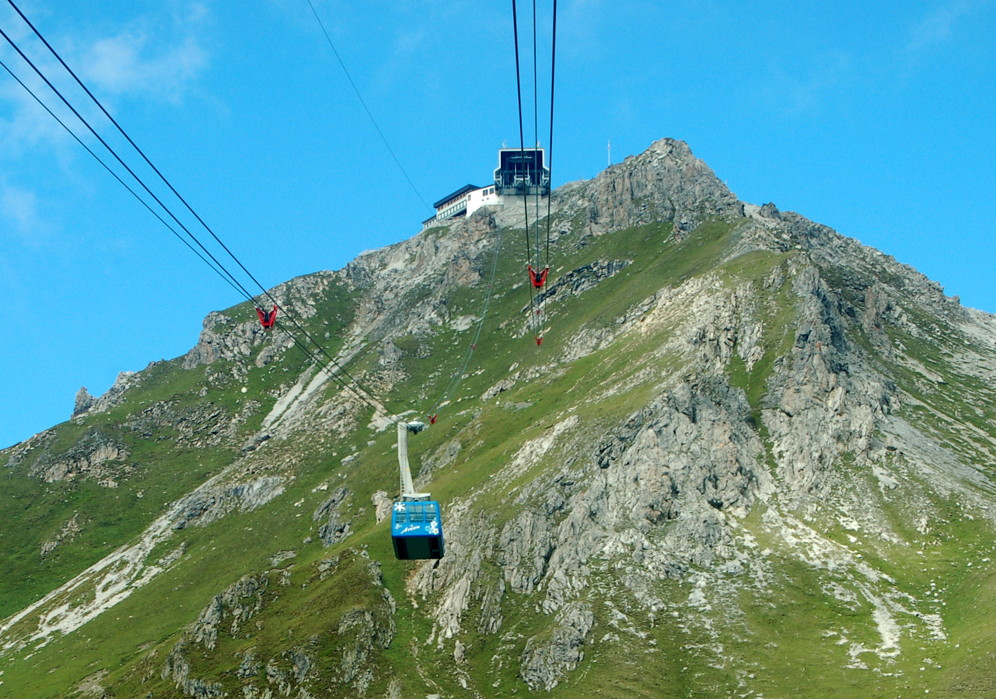
The Plessur Alps are drained by the rivers Rhine, Plessur, Landwasser and Landquart. The ski resort Arosa lies in the middle of the range.
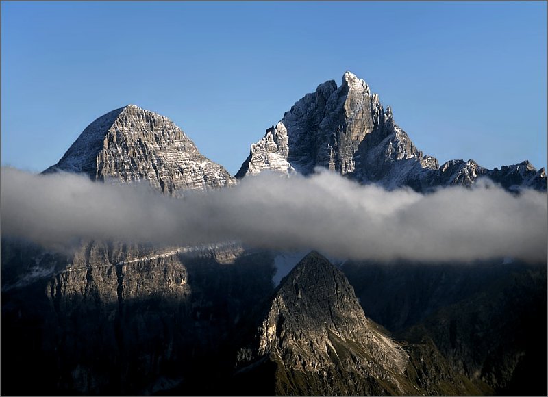
Peaks of the Plessur Alps are the Aroser Rothorn (highest, 2,985 m (9,793 ft)) and Stätzer Horn (2,576 m (8,451 ft)).
A mountain pass in the Plessur Alps is the Strela Pass, from Davos to Langwies, elevation 2,377 m (7,799 ft).
Peaks
The chief peaks of the Plessur Alps are:
| Name | Height |
|---|---|
| Aroser Rothorn | 2,985 m (9,793 ft) |
| Sandhubel | 2,764 m (9,068 ft) |
| Valbellahorn | 2,764 m (9,068 ft) |
| Guggernell | 2,744 m (9,003 ft) |
| Älpliseehorn | 2,725 m (8,940 ft) |
| Schiahorn | 2,709 m (8,888 ft) |
| Strela | 2,636 m (8,648 ft) |
| Stelli | 2,622 m (8,602 ft) |
| Stätzer Horn | 2,576 m (8,451 ft) |
| Fulhorn | 2,529 m (8,297 ft) |
| Mattjisch Horn | 2,461 m (8,074 ft) |
| Gürgaletsch | 2,441 m (8,009 ft) |
| Cunggel | 2,413 m (7,917 ft) |
| Ful Berg | 2,395 m (7,858 ft) |
| Glattwang | 2,376 m (7,795 ft) |
Gallery
 Lake near Arosa
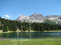
 Valley of Lenzerheide
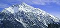 Lenzer Horn
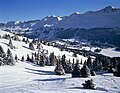 Parpaner Rothorn (right)
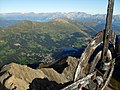 Summit of Lenzer Horn


See also
References
- Swisstopo maps
External links
Mountain ranges of the Western Limestone Alps according to the AVE | ||
|---|---|---|
|  | |
На других языках
[de] Plessur-Alpen
Die Plessur-Alpen (gelegentlich auch Plessurgebirge oder kurz Plessur) sind eine Gebirgsgruppe im Schweizer Kanton Graubünden. Höchster Gipfel ist das Aroser Rothorn (2980 m ü. M.).- [en] Plessur Alps
[fr] Chaîne de Plessur
La chaîne de Plessur est un massif des Alpes orientales centrales. Il s'élève intégralement en Suisse (canton des Grisons). Il tient son nom d'une rivière qui prend sa source au sein du massif et qui s'écoule en direction de l'ouest.[it] Alpi del Plessur
Le Alpi del Plessur (dette anche: Gruppo del Plessur) sono un gruppo montuoso[1] delle Alpi Retiche occidentali. Si trovano nello svizzero Canton Grigioni. Prendono il nome dal fiume Plessur, fiume che dà il proprio nome anche al Distretto di Plessur.Другой контент может иметь иную лицензию. Перед использованием материалов сайта WikiSort.org внимательно изучите правила лицензирования конкретных элементов наполнения сайта.
WikiSort.org - проект по пересортировке и дополнению контента Википедии