geo.wikisort.org - Mountains
Mount Mogensen (77°34′S 85°50′W) is a snow-covered mountain, 2,790 metres (9,150 ft) high, standing 5 nautical miles (9 km) northeast of Mount Ulmer in Gromshin Heights on the east side of northern Sentinel Range in Ellsworth Mountains, Antarctica. It surmounts Rutford Ice Stream to the east and the head of Vicha Glacier to the southwest.

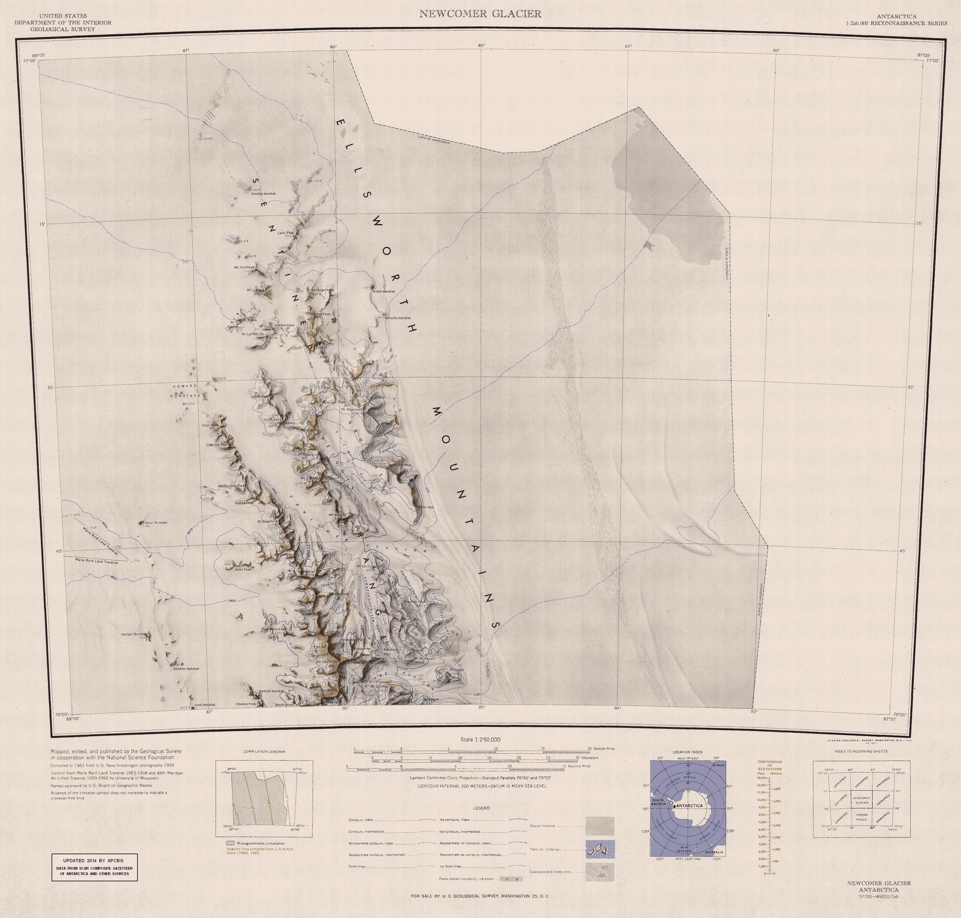
The mountain was discovered by Lincoln Ellsworth on his trans-Antarctic flight of November 23, 1935, and was named by the Advisory Committee on Antarctic Names for Palle Mogensen, a scientific leader at South Pole Station in 1957–58.[1]
See also
- Mountains in Antarctica
References
- "Mount Mogensen". Geographic Names Information System. United States Geological Survey. Retrieved 28 October 2013.
![]() This article incorporates public domain material from the United States Geological Survey document: "Mount Mogensen". (content from the Geographic Names Information System)
This article incorporates public domain material from the United States Geological Survey document: "Mount Mogensen". (content from the Geographic Names Information System)
Antarctica | ||||||||
|---|---|---|---|---|---|---|---|---|
| Geography |
|  | ||||||
| History |
| |||||||
| Politics |
| |||||||
| Society |
| |||||||
| Famous explorers |
| |||||||
| ||||||||
This Ellsworth Land location article is a stub. You can help Wikipedia by expanding it. |
На других языках
[de] Mount Mogensen
Mount Mogensen ist ein 2790 m hoher und verschneiter Berg im westantarktischen Ellsworthland. Er ragt 8 km nordöstlich des Mount Ulmer im nördlichen Teil der Sentinel Range des Ellsworthgebirges auf und ist die höchste Erhebung der Gromshin Heights.- [en] Mount Mogensen
Другой контент может иметь иную лицензию. Перед использованием материалов сайта WikiSort.org внимательно изучите правила лицензирования конкретных элементов наполнения сайта.
WikiSort.org - проект по пересортировке и дополнению контента Википедии