geo.wikisort.org - Mountains
Mount Malone (77°52′S 85°36′W) is a big mountain, 2,460 metres (8,070 ft) high, located 8 nautical miles (15 km) east of Mount Barden in the northern part of the Sentinel Range of the Ellsworth Mountains in Antarctica. It is the summit of Sostra Heights, surmounting Sabazios Glacier to the west and Anchialus Glacier to the northeast.

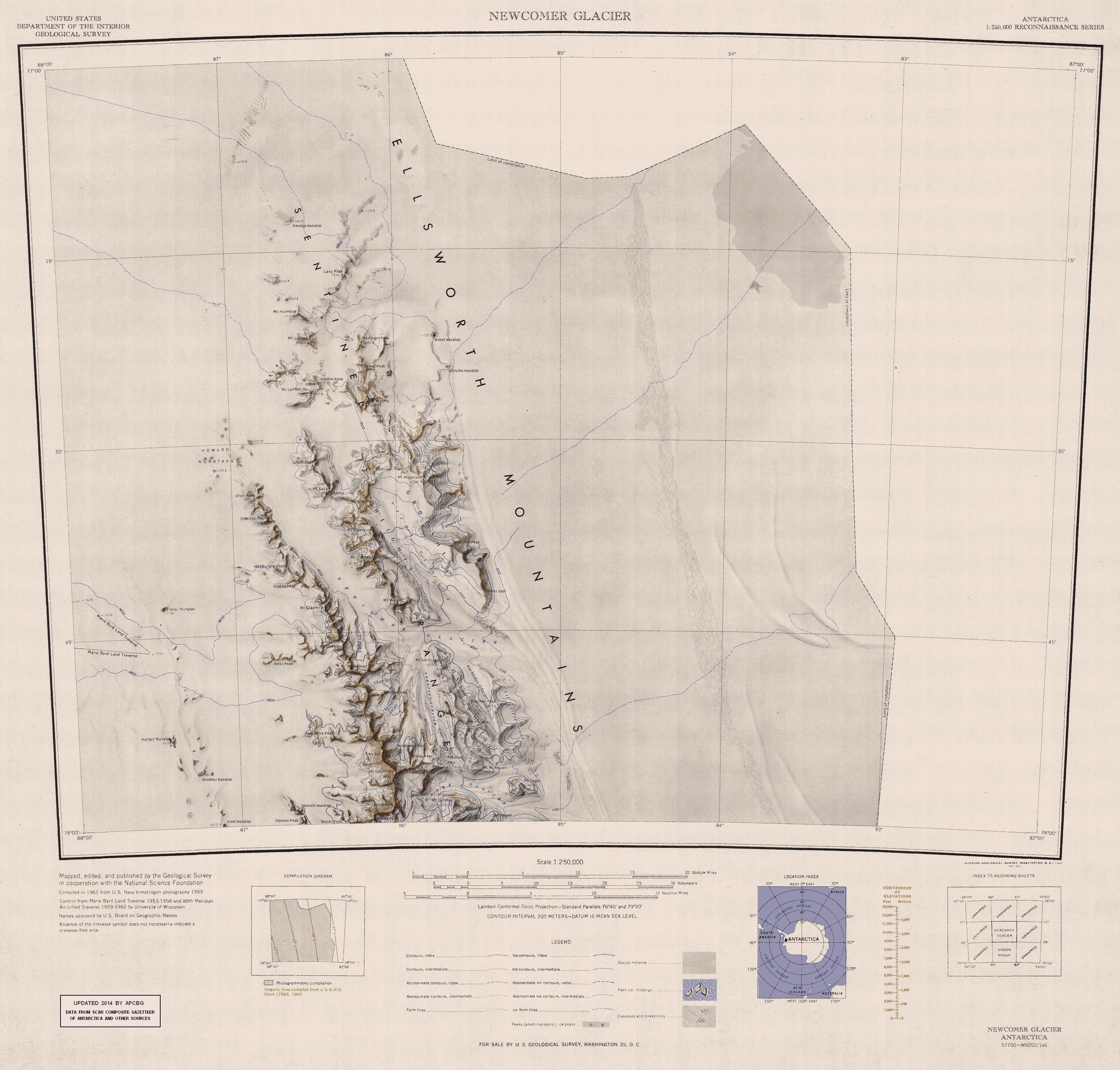
The mountain was first mapped by the United States Geological Survey from surveys and U.S. Navy air photos in the period 1957 to 1959. The mountain was named by the Advisory Committee on Antarctic Names for Captain Wallace R. Malone, United States Air Force, who participated in the establishment of South Pole Station in the 1956–57 season.[1]
See also
- Mountains in Antarctica
References
- "Mount Malone". Geographic Names Information System. United States Geological Survey. Retrieved 30 July 2013.
![]() This article incorporates public domain material from the United States Geological Survey document: "Mount Malone". (content from the Geographic Names Information System)
This article incorporates public domain material from the United States Geological Survey document: "Mount Malone". (content from the Geographic Names Information System)
Antarctica | ||||||||
|---|---|---|---|---|---|---|---|---|
| Geography |
|  | ||||||
| History |
| |||||||
| Politics |
| |||||||
| Society |
| |||||||
| Famous explorers |
| |||||||
| ||||||||
This Ellsworth Land location article is a stub. You can help Wikipedia by expanding it. |
На других языках
[de] Mount Malone
Mount Malone ist ein 2460 m hoher Berg im westantarktischen Ellsworthland. Er ragt 13 km östlich des Mount Barden im nördlichen Teil der Sentinel Range des Ellsworthgebirges auf. Er ist der höchste Gipfel der Sostra Heights.- [en] Mount Malone
Другой контент может иметь иную лицензию. Перед использованием материалов сайта WikiSort.org внимательно изучите правила лицензирования конкретных элементов наполнения сайта.
WikiSort.org - проект по пересортировке и дополнению контента Википедии