geo.wikisort.org - Mountains
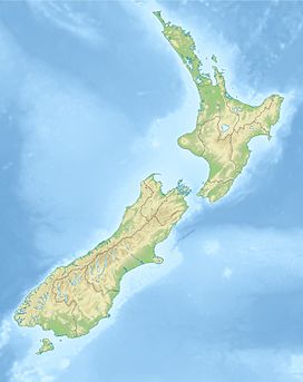
Mount Haast (1,587 metres or 5,207 feet) is a hill located near Springs Junction, in the Buller District of New Zealand.[1] The hill is prominent when approaching Springs Junction from the south-east on State Highway 7, where the pyramidal shape gives the (wrong) impression of a volcanic cone. The hill was named after the German-born geologist Julius von Haast by James Mackay (1831–1912).[2]
| Mount Haast | |
|---|---|
 Mount Haast | |
| Highest point | |
| Elevation | 1,587 m (5,207 ft)[1] |
| Coordinates | 42°31′3″S 172°08′1″E[1] |
| Naming | |
| Etymology | Julius von Haast |
| Geography | |
| Location | Buller District, New Zealand |
Description

Mount Haast is located near Rahu Saddle on State Highway 7, between Springs Junction and Reefton. It is accessible via a walking track that starts just off State Highway 7. It is a moderate six-hour return trip from the car park (challenging during winter).[3]
Mount Haast was named by James Mackay. Mackay named two peaks after Haast; the other Mount Haast is a mountain (3,114 metres or 10,217 feet) just off the Main Divide in Westland District.[2][4]
References
- "Place name detail: Mount Haast". New Zealand Gazetteer. New Zealand Geographic Board. Retrieved 5 December 2020.
- Reed, A. W. (2010). Peter Dowling (ed.). Place Names of New Zealand. Rosedale, North Shore: Raupo. p. 151. ISBN 9780143204107.
- Rajasaari, Tarmo (5 September 2019). "Climbing Mt Haast: A winter adventure on the South Island's wild west coast". Stuff. Retrieved 5 December 2020.
- "Place name detail: Mount Haast". New Zealand Gazetteer. New Zealand Geographic Board. Retrieved 5 December 2020.
Другой контент может иметь иную лицензию. Перед использованием материалов сайта WikiSort.org внимательно изучите правила лицензирования конкретных элементов наполнения сайта.
WikiSort.org - проект по пересортировке и дополнению контента Википедии
