geo.wikisort.org - Mountains
Mount Dawson (77°46′S 86°21′W) is a sharp, pyramidal mountain located 4 km (2.5 mi) northwest of Mount Reimer in the north part of the Sentinel Range, Antarctica. It surmounts Vidul Glacier to the east.

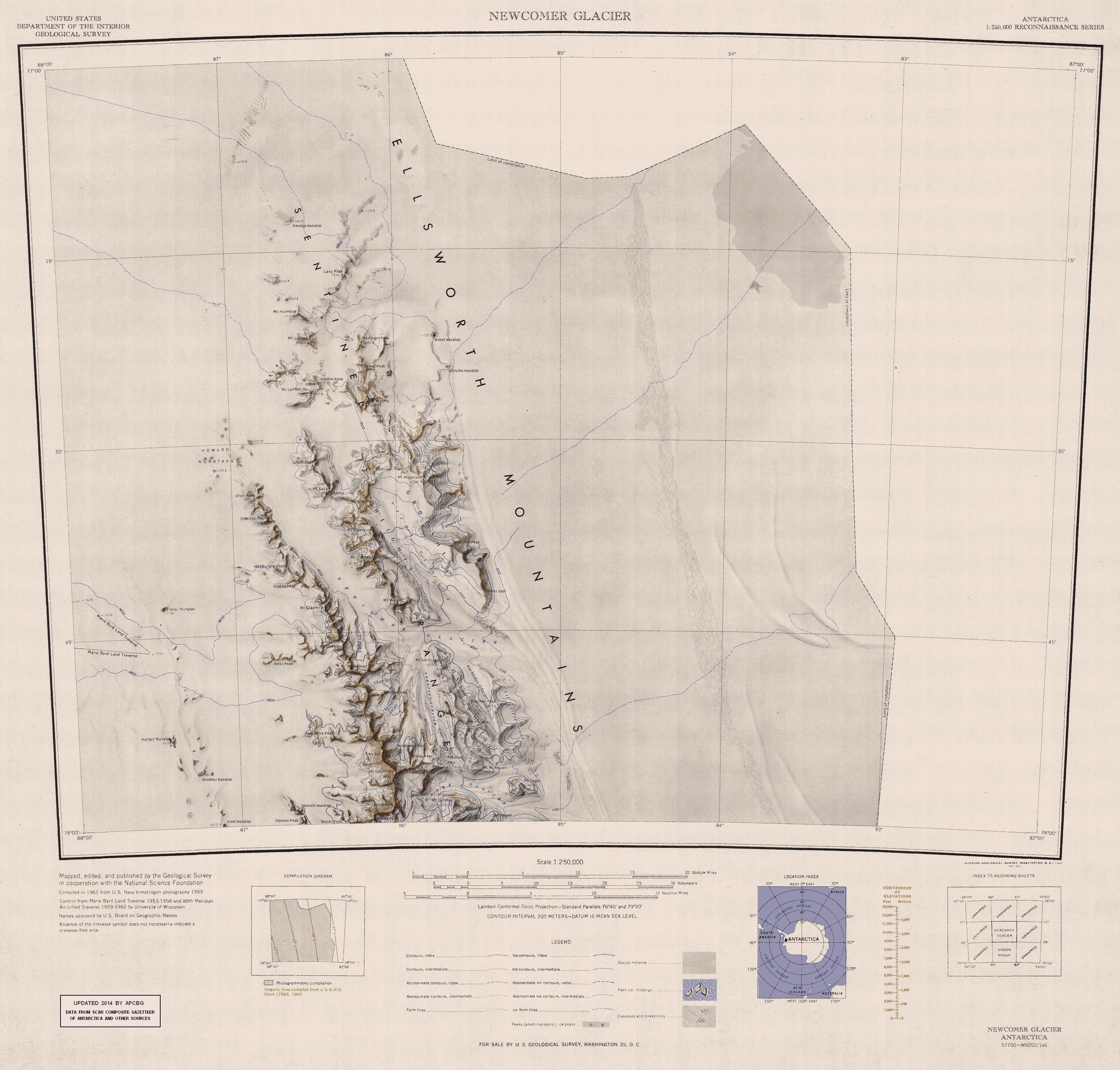
The mountain was discovered by the Charles R. Bentley-led Marie Byrd Land Traverse Party, 1957–58, and named after Major Merle R. Dawson (d.1986), USA, leader of the Army-Navy Trail Party which established an oversnow route from Little America V to the site of Byrd Station in November–December 1956; Project Manager for Ship Operations in the Office of Polar Programs, National Science Foundation (NSF), 1965–70.[1]
See also
- Mountains in Antarctica
References
- "Mount Dawson". Geographic Names Information System. United States Geological Survey, United States Department of the Interior. Retrieved 5 November 2005.
![]() This article incorporates public domain material from the United States Geological Survey document: "Mount Dawson (Antarctica)". (content from the Geographic Names Information System)
This article incorporates public domain material from the United States Geological Survey document: "Mount Dawson (Antarctica)". (content from the Geographic Names Information System)
Antarctica | ||||||||
|---|---|---|---|---|---|---|---|---|
| Geography |
|  | ||||||
| History |
| |||||||
| Politics |
| |||||||
| Society |
| |||||||
| Famous explorers |
| |||||||
| ||||||||
This Ellsworth Land location article is a stub. You can help Wikipedia by expanding it. |
На других языках
[de] Mount Dawson (Antarktika)
Mount Dawson ist ein 2695 m hoher Berg im westantarktischen Ellsworthland. Er ragt 4 km nordwestlich des Mount Reimer in der Sentinel Range des Ellsworthgebirges auf.- [en] Mount Dawson (Antarctica)
Другой контент может иметь иную лицензию. Перед использованием материалов сайта WikiSort.org внимательно изучите правила лицензирования конкретных элементов наполнения сайта.
WikiSort.org - проект по пересортировке и дополнению контента Википедии