geo.wikisort.org - Mountains
Moro Rock is a granite dome rock formation in Sequoia National Park, California, United States. It is located in the center of the park, at the head of Moro Creek, between Giant Forest and Crescent Meadow. A stairway, designed by the National Park Service and built in 1931, is cut into and poured onto the rock, so that visitors can hike to the top. The view from the rock encompasses much of the Park, including the Great Western Divide. Use of this trail is discouraged during thunderstorms and when it is snowing.
| Moro Rock | |
|---|---|
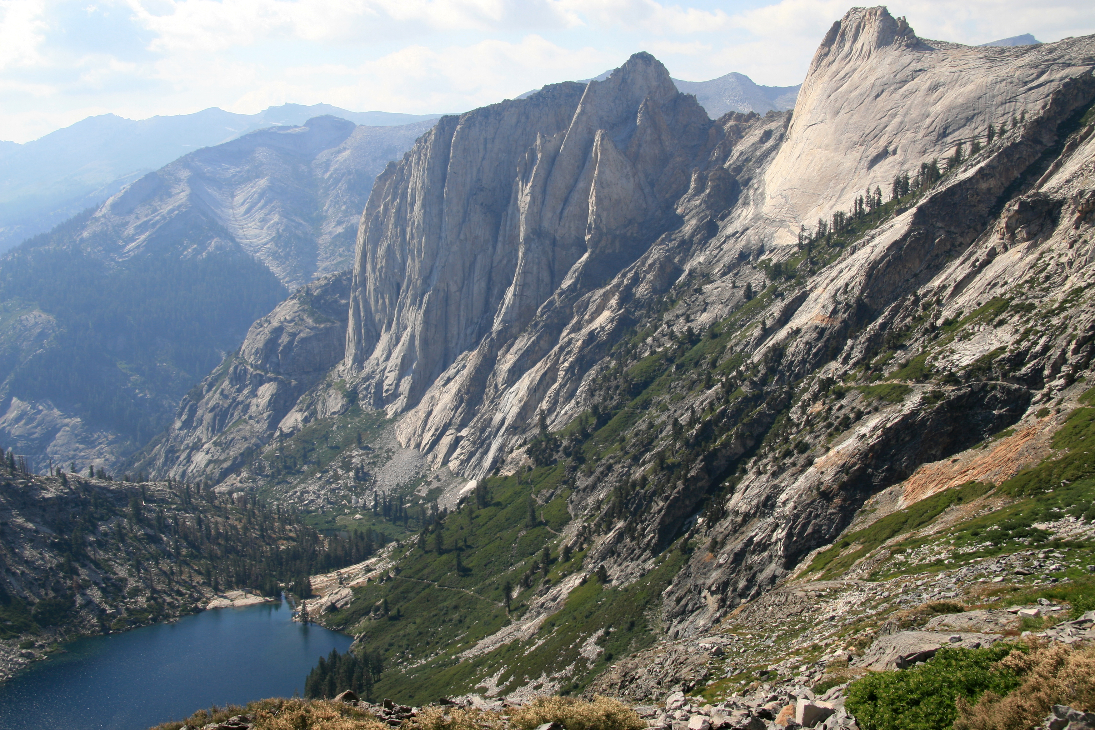
 View of Moro Rock from Potwisha (near Hospital Rock), Sequoia National Park | |
| Highest point | |
| Elevation | 6,725 ft (2,050 m)[1] |
| Prominence | 245 ft (75 m)[1] |
| Coordinates | 36°32′39″N 118°45′54″W[2] |
| Geography | |
 Moro Rock Sequoia National Park, Tulare County, California, United States  Moro Rock Moro Rock (the United States) | |
| Parent range | Sierra Nevada |
| Topo map | USGS Giant Forest |
| Geology | |
| Age of rock | Cretaceous |
| Mountain type | Granite dome |
| Climbing | |
| First ascent | 1861, by Hale Tharp, John Swanson and George Swanson |
| Easiest route | Hike |
The name "Moro Rock" derives from a blue roan mustang of color the Mexicans call moro, owned by one Mr. Swanson of Three Rivers in the 1860s[3]
Recreation
The road to Moro Rock is closed in winter, so visitors need to hike 2 miles to reach the viewpoint. The road is open in summer so the hike is shortened. The 1996 general plan for the park calls for the road to Moro to be closed, and replaced by a shuttle. As of June 2012, the road is open to general traffic only during weekdays; on weekends, the shuttle is running and the road is closed to general traffic.[4] The west face of Moro Rock offers 1,000 vertical feet of cracks and knobs for rock climbing. However, climbing is prohibited during peregrine falcon nesting season on the South and East faces (up to Full Metal Jacket).[5]
Geology
Moro Rock is a dome-shaped granite monolith. Common in the Sierra Nevada, these domes form by exfoliation, the spalling or casting off in scales, plates, or sheets of rock layers on otherwise unjointed granite. Outward expansion of the granite results in exfoliations. Expansion results from load relief; when the overburden that once capped the granite has eroded away, the source of compression is removed and the granite slowly expands. Fractures that form during exfoliation tend to cut corners. This ultimately results in rounded dome-like forms.[6]
Stairway
Moro Rock Stairway | |
U.S. National Register of Historic Places | |
 | |
| Built | 1931 |
|---|---|
| Architect | National Park Service |
| NRHP reference No. | 78000283 |
| Added to NRHP | December 29, 1978[7] |
The first stairway leading to the summit of Moro Rock was constructed of wood and installed in 1917. This stairway deteriorated significantly by the late 1920s, and was replaced in 1931 by the present Moro Rock Stairway, built by the Civilian Conservation Corps.[8] Unlike the earlier stairway, the new stairway adopted a design policy of blending with the natural surfaces to the greatest extent possible. The 797-foot-long stairway was designed by National Park Service landscape architect Merel S. Sager and engineer John Diehl, following natural ledges and crevices. It has 400 steps that lead to the summit of Moro Rock.[9] Changes since the original construction have impaired the integrity of the design.[10]
References
- "Moro Rock, California". Peakbagger.com. Retrieved 2009-01-14.
- "Moro Rock". Geographic Names Information System. United States Geological Survey. Retrieved 2009-01-14.
- Farquhar, Francis P. "Place Names of the Hgh Sierra".
- "Moro Rock and Crescent Meadow". Sequoia and Kings Canyon National Park. National Park Service.
- "Rock Climbing". Sequoia and Kings Canyon National Park. National Park Service.
-
 This article incorporates public domain material from the National Park Service document: "Geology Fieldnotes". Sequoia and Kings Canyon National Park.
 - "National Register Information System". National Register of Historic Places. National Park Service. April 15, 2008.
- "Moro Rock in Sequoia National Park". hikespeak.com. Hikespeak. Retrieved 2017-01-04.
- "Moro Rock and Crescent Meadow". Sequoia and Kings Canyon National Parks. US National Park Service. Retrieved 2016-10-09.
- Tweed, William (May 20, 1977). "National Register of Historic Places Inventory - Nomination Form: Moro Rock Stairway". National Park Service. Retrieved 2 May 2012.
External links
![]() Media related to Moro Rock at Wikimedia Commons
Media related to Moro Rock at Wikimedia Commons
- "Moro Rock". Summitpost.org. Retrieved 2006-12-03.
- "Giant Forest Points of Interest, Summer". Sequoia & Kings Canyon National Parks. National Park Service. Retrieved 2009-01-14.
- "Moro Rock Summit interactive 360˚ panorama". 360Around.com. Retrieved 2010-06-01.
Sequoia National Park | |
|---|---|
| Landmarks and attractions |
|
| People |
|
| Nearby municipalities |
|
| Additional information |
|
| |
U.S. National Register of Historic Places | |
|---|---|
| Topics |
|
| Lists by state |
|
| Lists by insular areas |
|
| Lists by associated state |
|
| Other areas |
|
| Related |
|
| |
На других языках
- [en] Moro Rock
[fr] Moro Rock
Moro Rock est un sommet de la Sierra Nevada, aux États-Unis. Ce dôme de granite culmine à 2 050 mètres d'altitude dans le comté de Tulare, en Californie. Il est protégé au sein du parc national de Sequoia.[ru] Моро (скала)
Моро (англ. Moro Rock) — скала типа «гранитный купол»[en] в центре национального парка «Секвойя», округ Туларе, штат Калифорния, США. Первым евроамериканцем, покорившим Моро, стал шахтёр Хейл Терп[en] со своими пасынками Джорджем и Джоном Суонсонами в 1861 году.Другой контент может иметь иную лицензию. Перед использованием материалов сайта WikiSort.org внимательно изучите правила лицензирования конкретных элементов наполнения сайта.
WikiSort.org - проект по пересортировке и дополнению контента Википедии