geo.wikisort.org - Mountains
Meokrnje (1,425 m) is a mountain in Central Bosnia (Bosnia and Herzegovina, in the masiff chain of internal Dinaris mountains. This is the greatest elevation between Vlašić (1933 m) (the southwest) and Manjača (1358 m) - the northeast.
| Meokrnje | |
|---|---|
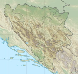 Meokrnje Location in Bosnia and Herzegovina | |
| Highest point | |
| Elevation | 1,425 m (4,675 ft) |
| Coordinates | 44°22′47″N 17°42′33″E |
| Geography | |
| Location | |
| Parent range | Dinaric Alps |
The nearest populated places are Jeezera and Željezno Polje (Iron Field) (east), i.e. Šiprage and Korićani (west).[1][2][3][4]
On the slopes of Meokrnja there is the watershed ("Prelivode") between the basins of Bosnia (east), Bila (south), Ugar and Ilomska (west - southwest) and Vrbanja river (northwest).
The mountain is rich in mixed and coniferous forests, especially its southwestern slopes (along to Ilomska and Ugar). Its ridge leads unregulated communications Gluha Bukovica - Kruševo Brdo - Šiprage.[5]
See also
- Šiprage
- Vrbanja river
- Bila (river)
- Ilomska
References
- Vojnogeografski institut, Izd. (1955): Travnik (List karte 1:100.000, Izohipse na 20 m). Vojnogeografski institut, Beograd.
- Vojnogeografski institut, Izd. (1955): Zenica (List karte 1:100.000, Izohipse na 20 m). Vojnogeografski institut, Beograd.
- Spahić M. et al. (2000): Bosna i Hercegovina (1:250.000). Izdavačko preduzeće „Sejtarija“, Sarajevo.
- kartabih
- "Meokrnje".
Другой контент может иметь иную лицензию. Перед использованием материалов сайта WikiSort.org внимательно изучите правила лицензирования конкретных элементов наполнения сайта.
WikiSort.org - проект по пересортировке и дополнению контента Википедии