geo.wikisort.org - Mountains
This is a list of mountains and hills of the Rhön, a low mountain range in the Central Uplands of Germany that straddles the three federal states of Bavaria, Hesse and Thuringia. This list includes summits within the Rhön Mountains and its foothills, taking in the Rhön Biosphere Reserve and the nature parks of the Bavarian Rhön, Hessian Rhön and, where it belongs to the Rhön, the Hessian Spessart. The table currently shows mountains over 900 metres high. It will be extended over time.
Six columns in the following table, which on start up is arranged by height in metres (m) above sea level (NHN datum unless otherwise stated based on [1]), are sortable by clicking on the symbols by their headings. In the columns "Mountain, hill, subpeak“ alternative names are given in brackets, in smaller font and italics. In these columns, where entries bear the same name they are disambiguated by the name of the municipality to which they belong shown in brackets and small font. Mountains or hills that have a low isolation or prominence and are therefore not considered independent peaks, are marked with the abbreviation "SP" for "subpeak" and their parent peak is named. In the "state" column, where a mountain or hill lies within two or more states, the state in which the actual summit lies is printed in bold.
A key to the abbreviations is at the bottom of the table.
| Mountain, hill, subpeak (coordinates) |
Elevation (m) [1] |
Natural region; Nature park, Biosphere reserve |
Location Villages (near/between) |
County/counties (see below) |
State/ States (see below) |
Location of (sights; nature reserves; Rivers/sources) |
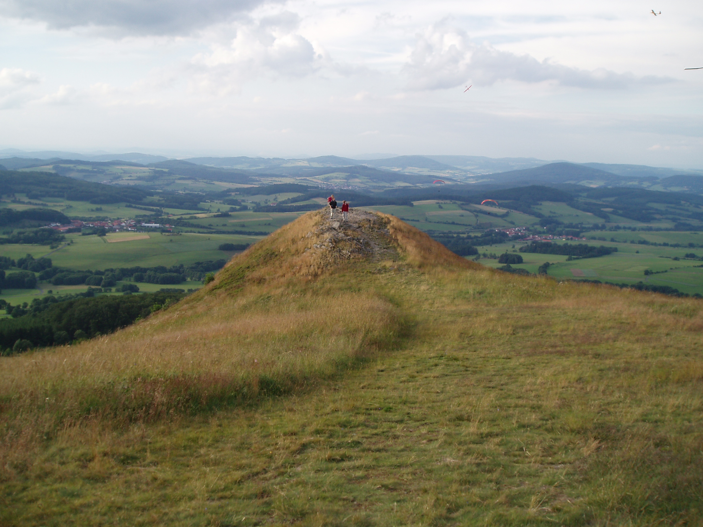
Image |
|---|---|---|---|---|---|---|---|
| Wasserkuppe (50°29′53″N 9°56′16″E) |
950.0 | Wasserkuppenrhön; Hessian Rhön NP, Rhön BR |
Abtsroda, Obernhausen, Reulbach, Sieblos, Tränkhof |
FD | HE | highest mountain in the Rhön and Hesse; Nordhang Wasserkuppe NR, Wasserkuppe Airfield, German Gliding Museum, Wasserkuppe Ski and Toboggan Arena; S: Brandbach, S: Fulda, S: Haardt, S: Lütter |
 |
| Dammersfeldkuppe (50°23′48.8″N 9°51′43.6″E) |
927.9 | Dammersfeld Ridge; Hessian Rhön NP, Rhön BR |
Dalherda, Neuwildflecken, Rommers, Wildflecken |
FD, KG, FD, KG |
HE, BV, HE, BV |
highest mountain in RB Lower Franconia; Wildflecken Training Area; Rhine-Weser Watershed, S: Gichenbach, S: Kleine Sinn |
 |
| Kreuzberg (50°22′13″N 9°58′48″E) |
927.8 | Kreuzberg Group; Bavarian Rhön NP, Rhön BR |
Bischofsheim, Haselbach, Kilianshof, Oberwildflecken, Sandberg, Waldberg |
NES, NES, NES, KG, NES, NES |
BV | "Holy Mountain of the Franconians", Kreuzberg Abbey, Kreuzberg Transmitter, Kreuzberg Ski Area, (large) summit cross; S: Sinn |
 |
| Heidelstein (West/East Top) Heidelstein: Schwabenhimmel: (50°27′37.8″N 10°0′24.6″E) |
925.7 m[2] 925.7 912.6 |
Long Rhön; Bavarian Rhön NP, Hessian Rhön NP, Rhön BR |
Ginolfs, Holzberg, Wüstensachsen |
NES, NES, FD |
BV, BV, HE |
near: Rotes Moor NR, Heidelstein transmitter, Rhön Club commemoration site, Rotes Moor Cross Country Skiing Centre, Long Rhön Nature Reserve (Longe Rhön), Kesselrain NR; S: Els, S: Schwarzbach, S: Sonder, S: Ulster |
 |
| Eierhauckberg (50°24′21.5″N 9°54′4.3″E) |
909.9 | Dammersfeld Ridge; Hessian Rhön NP, Rhön BR |
Neuwildflecken, Rengersfeld, Rommers, Wildflecken |
KG, FD, FD, KG |
BV, HE, HE, BV |
Wildflecken Training Area, Rhine-Weser Watershed |
 |
| Abtsrodaer Kuppe (50°30′15.1″N 9°56′17.4″E) |
904.8 | Wasserkuppenrhön; Hessian Rhön NP, Rhön BR |
Abtsroda, Reulbach, Sieblos, Tränkhof |
FD | HE | Basalt summit with good views, part of the Wasserkuppe Ski and Toboggan Arena |
 |
| Stirnberg (50°29′28.6″N 10°2′20.5″E) |
901.9 | Long Rhön; Bavarian Rhön NP, Hessian Rhön NP, Rhön BR |
Roth, Wüstensachsen |
NES, FD |
BV, HE |
Long Rhön (Lange Rhön) NR, Stirnberg bei Wüstensachsen NR, Rhine-Weser Watershed |
|
| Hohe Hölle (50°25′43″N 9°57′41″E) |
893.8 | Dammersfeld Ridge; Bavarian Rhön NP, Hessian Rhön NP, Rhön BR |
Frankenheim, Mosbach, Oberweißenbrunn |
R-G, FD, R-G |
BV, HE, BV |
Schwedenwall Skilift/piste |
 |
| Steinkopf (Wüstensachsen) (50°28′41.1″N 10°1′6″E) |
888 | Lange Rhön; Bavarian Rhön NP, Hessian Rhön NP, Rhön Br |
Wüstensachsen, Ginolfs |
FD, R-G |
HE, BV |
Basalt blockfield pile, Steinkopf NR; Rhine-Weser watershed, S: Heuwiesenwasser |
 |
| Himmeldunkberg (aAbb v. Hohe Hölle) (50°25′22.5″N 9°57′34.9″E) |
887,9 | Dammersfeld Ridge; Bavarian Rhön NP, Hessian Rhön NP, Rhön BR |
Frankenheim, Mosbach, Oberweißenbrunn, Rodenbach |
R-G, FD, R-G, FD |
BV, HE, BV, HE |
Hexenbuchen (ND), Würzburger Hut (DAV hut); Rhine-Weser watershed, S: Stecheller |
 |
| Mittelberg (50°24′34.6″N 9°54′50.9″E) |
880 [3] |
Dammersfeld Ridge; Hessian Rhön NP, BR Rhön |
Neuwildflecken, Oberweißenbrunn, Rengersfeld |
KG, R-G, FD |
BV, BV, HE |
Wildflecken Trg Area, tx mast, tx tower, skilift; S: Bärnlochgraben, S: Ziegelhüttengraben |
 |
| Pferdskopf (50°29′27.4″N 9°55′14.3″E) |
874,9 | Wasserkuppenrhön; Hessian Rhön NP, Rhön BR |
Rodholz, Obernhausen |
FD | HE | Basalt crags; S: Lütter |
 |
Abbreviations
Key to the abbreviations used in the table:
Counties (using German car registration plate abbreviations):
- FD = Fulda
- HEF = Hersfeld-Rotenburg
- KG = Bad Kissingen
- MKK = Main-Kinzig-Kreis
- NES = Rhön-Grabfeld
- SM = Schmalkalden-Meiningen
- WAK = Wartburgkreis
States:
- BV = Bavaria
- HE = Hesse
- TH = Thuringia
Biosphere Reserve:
- Rhön BR = Rhön Biosphere Reserve
Nature parks:
- Bavarian Rhön NP = Bavarian Rhön Nature Park
- Hessian Rhön NP = Hessian Rhön Nature Park
- Hessian Spessart NP = Hessian Spessart Nature Park
Points of the compass:
- NW = Northwest
- SE = Southeast
Other:
- AT = Observation tower
- BR = Biosphere reserve
- Ex = former
- DDR = East Germany
- FVV = Fremdenverkehrsverein ("tourist association")
- Gr = Groß, Großer ("Great")
- Hk = Hauptkuppe ("main summit")
- KD = Cultural monument
- Kl = Klein, Kleiner ("Little")
- km² = square kilometre
- ND = Natural monument
- NHN = Normalhöhennull (German elevation datum)
- Nk = Nebenkuppe ("subpeak")
- NP = Nature Park
- NSG = Nature reserve
- Q = Source
- RB = Regierungsbezirk ("province")
- TrÜbPl = Military training area
- v = von, vom
- Whs = Wirtshaus (pub, cafe, restaurant)
References and footnotes
- Map services of the Federal Agency for Nature Conservation
- Stadt Gersfeld (Rhön), ed. (2002), Gersfeld: Wandern, Wellness, Wintersport : Freizeitkarte 5526, Maßstab 1:25.000 (in German), Fulda: Fa. Parzeller
- Berghöhe – diverse Berge laut unbekannte / nicht recherchierte Quelle
На других языках
[de] Liste von Bergen in der Rhön
Die Liste von Bergen in der Rhön enthält eine Auswahl von Bergen und deren Ausläufern in der Rhön, einem Mittelgebirge in den deutschen Ländern Bayern, Hessen und Thüringen, sowie jenen im Biosphärenreservat Rhön und in den Naturparks Bayerische Rhön, Hessische Rhön und, wenn sie zur Rhön gehören, auch jene des Naturparks Hessischer Spessart.- [en] List of mountains and hills of the Rhön
Другой контент может иметь иную лицензию. Перед использованием материалов сайта WikiSort.org внимательно изучите правила лицензирования конкретных элементов наполнения сайта.
WikiSort.org - проект по пересортировке и дополнению контента Википедии