geo.wikisort.org - Mountains
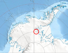
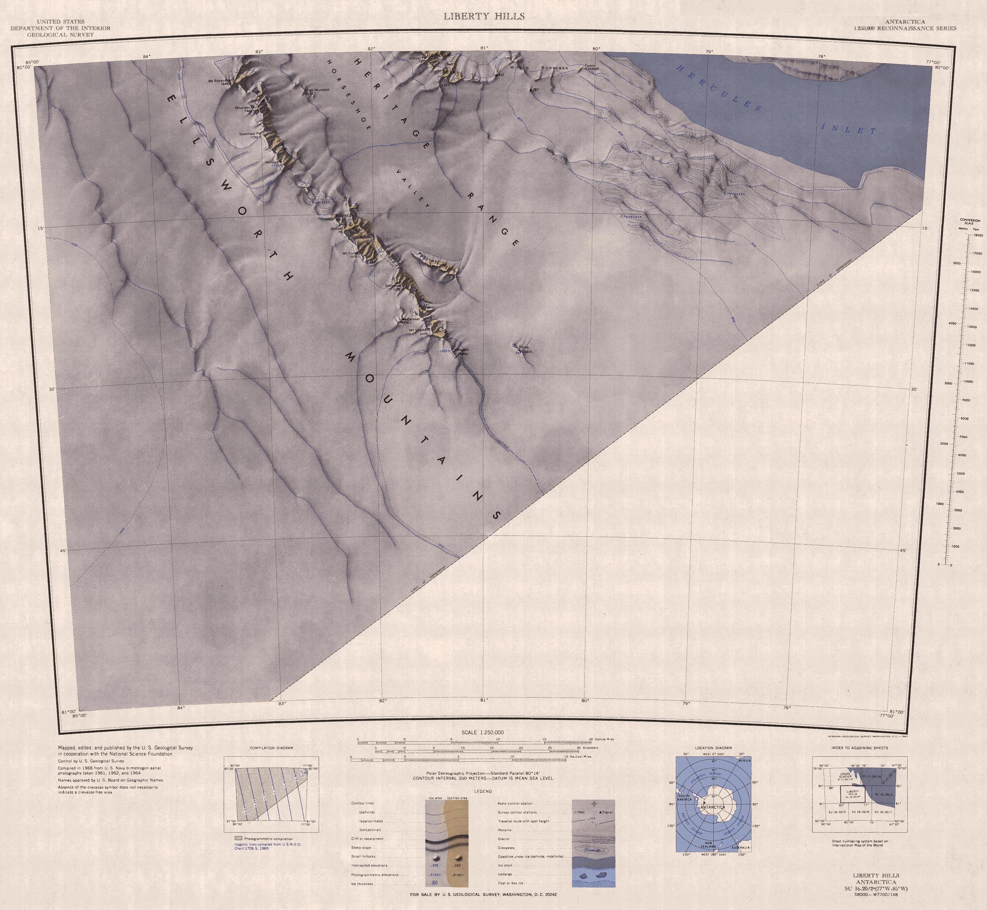
The Liberty Hills (80°6′S 82°58′W) are a line of rugged hills and peaks with bare rock eastern slopes, about 10 nautical miles (19 km) long, standing 7 nautical miles (13 km) northwest of the Marble Hills and forming part of the west wall of Horseshoe Valley, in the Heritage Range, Ellsworth Mountains, Antarctica. The Liberty Hills were mapped by the United States Geological Survey from ground surveys and U.S. Navy air photos, 1961–66. The name was applied by the Advisory Committee on Antarctic Names in association with the name Heritage Range.[1] The remarkable High Nunatak towers east of the Hills.
Maps
- Liberty Hills. Scale 1:250 000 topographic map. Reston, Virginia: US Geological Survey, 1966.
- Antarctic Digital Database (ADD). Scale 1:250000 topographic map of Antarctica. Scientific Committee on Antarctic Research (SCAR). Since 1993, regularly updated.
Features
Geographical features include:
- Horseshoe Valley
- Kelley Peak
- Moulder Peak
- Mount Rosenthal
- Sponholz Peak
References
- "Liberty Hills". Geographic Names Information System. United States Geological Survey, United States Department of the Interior. Retrieved 13 June 2013.
![]() This article incorporates public domain material from the United States Geological Survey document: "Liberty Hills". (content from the Geographic Names Information System)
This article incorporates public domain material from the United States Geological Survey document: "Liberty Hills". (content from the Geographic Names Information System)
Antarctica | ||||||||
|---|---|---|---|---|---|---|---|---|
| Geography |
|  | ||||||
| History |
| |||||||
| Politics |
| |||||||
| Society |
| |||||||
| Famous explorers |
| |||||||
| ||||||||
This Ellsworth Land location article is a stub. You can help Wikipedia by expanding it. |
На других языках
[de] Liberty Hills (Antarktika)
Die Liberty Hills (englisch Freiheitsberge) sind eine etwa 16 km lange, zerfurchte Hügelkette im westantarktischen Ellsworthland. Der Höhenzug liegt in der Heritage Range in den südlichsten Ausläufern des Ellsworthgebirges.- [en] Liberty Hills (Antarctica)
Другой контент может иметь иную лицензию. Перед использованием материалов сайта WikiSort.org внимательно изучите правила лицензирования конкретных элементов наполнения сайта.
WikiSort.org - проект по пересортировке и дополнению контента Википедии