geo.wikisort.org - Mountains
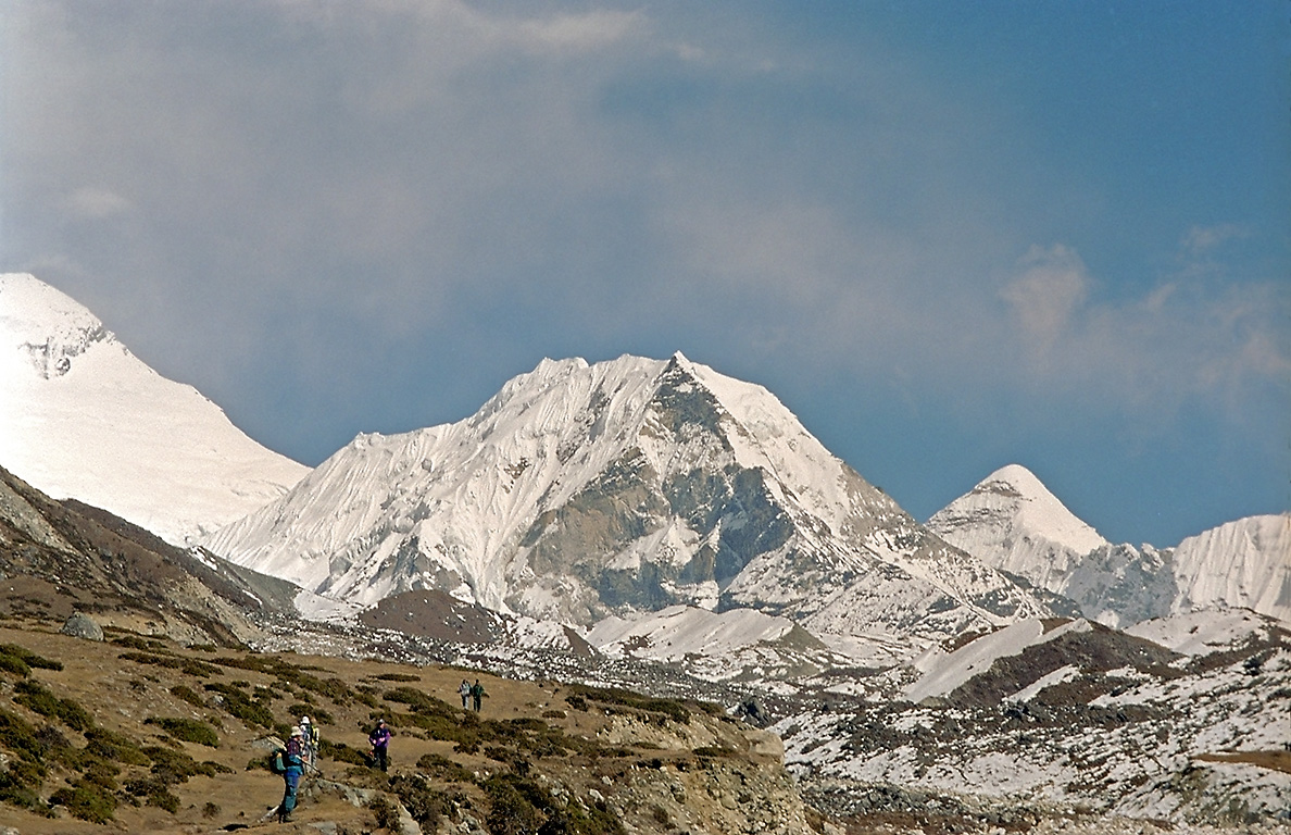
Imja Tse, better known as Island Peak, is a mountain in Sagarmatha National Park of the Himalayas of eastern Nepal. The peak was named Island Peak in 1953 by members of the British Mount Everest expedition because it appears as an island in a sea of ice when viewed from Dingboche.[2] The peak was later renamed in 1983 to Imja Tse but Island Peak remains the popular choice.[3] The peak is actually an extension of the ridge coming down off the south end of Lhotse Shar.
| Imja Tse | |
|---|---|
| Island Peak | |
 An island in a sea of ice | |
| Highest point | |
| Elevation | 6,160 m (20,210 ft)[1] |
| Prominence | 475 m (1,558 ft) |
| Coordinates | 27°55′21″N 86°56′10″E |
| Geography | |
 Imja Tse Location in Nepal | |
| Location | Khumbu, Nepal |
| Parent range | Khumbu Himal |
| Climbing | |
| First ascent | 1956 by Hans-Rudolf Von Gunten and 2 unknown Sherpas |
| Easiest route | North Ridge PD+ glacier/scrambling/ice climbing |
The southwest summit of Imja Tse was first climbed in 1953 as part of a training exercise by a British expedition that went on to summit Mount Everest. The team who climbed Imja Tse comprised Tenzing Norgay, Charles Evans, Alfred Gregory, Charles Wylie and seven other Sherpas. The main summit was first climbed in 1956 by Hans-Rudolf Von Gunten and two unknown Sherpas, members of a Swiss team that went on to make the second ascent of Everest and first ascent of Lhotse.[4][5]

Climbing route

![Climber taking the final few steps onto the 6,160 m (20,210 ft)[1] summit of Imja Tse (Island Peak) in Nepal, 2004](http://upload.wikimedia.org/wikipedia/commons/5/51/Summitting_Island_Peak.jpg)
To climb Island Peak, one has the option of starting from a base camp at 5,087 metres (16,690 ft) called Pareshaya Gyab and starting the climb between 2 and 3 A.M. Another popular option is to ascend to High Camp at around 5,600 metres (18,400 ft) to reduce the amount of effort and time needed for summit day. However, adequate water supply and concerns about sleeping at a higher altitude may dictate starting from base camp. Base camp to high camp is basically a hike but just above high camp, some rocky steps require moderate scrambling and up through a broad open gully. At the top of the gully, glacier travel begins and proceeds up to a steep snow and ice slope. From here, fixed ropes may be set up by the guides for the strenuous ascent of nearly 100 metres (330 ft) to the summit ridge. The climb to the summit is somewhat difficult due to steep climbing. On top, while Mount Everest is a mere ten kilometres away to the north, the view will be blocked by the massive wall of Lhotse, towering 2,300 m (7,500 ft) above the summit.
Headwall crevasse
A substantial crevasse along most of the headwall leading to the summit ridge has sometimes caused teams to turn back. In April 2009, the Nepal Mountaineering Association tasked the Nepal Mountaineering Instructors' Association with installing stairs (ladders) at the crevasse.[6] As of the 2016 fall climbing season, a 5-meter high fixed aluminum ladder is being used to cross the crevasse.
See also
- Imja Glacier
- Imja Tsho
References
- "Nepal Mountaineering Association". web page. 2021. Retrieved 15 June 2021.
- Wylie, Charles (1954). "Everest, 1953". Himalayan Journal. 18. Retrieved July 13, 2018.
- "Imja Tse". Nepal Mountaineering Association. Retrieved 2009-05-23.
- O'Connor, Bill. The Trekking Peaks of Nepal. The Crowood Press, 1989, p.74
- "Himalayan Database The Expedition Archives of Elizabeth Hawley". Retrieved 13 July 2018.
- "Newsletter of the Nepal Mountaineering Association". Nepal Mountaineering Association. Retrieved 2016-10-29.
External links
 Island Peak Trek travel guide from Wikivoyage
Authority control | |
|---|---|
| General |
|
| National libraries | |
На других языках
[de] Island Peak
Der Island Peak (Imja Tse, „Inselberg“) ist ein 6189 m hoher Berg im nepalesischen Teil des Himalayas. Er liegt im Mahalangur Himal in der Region Khumbu zwischen der Lhotse-Südwand und der Ama Dablam.- [en] Imja Tse
[es] Imja Tse
Imja Tse, más conocido como Island Peak (o Pico Isla en castellano) es una montaña en el Parque nacional de Sagarmatha en el Himalaya de Nepal. El pico fue bautizado en 1951 por un equipo liderado por Eric Shipton, dado que parecía una isla en un mar de hielo cuando se mira desde Dingboche. El pico fue rebautizado posteriormente en 1983 a Imja Tse, pero aún se conoce popularmente cono Island Peak.[2] El pico es realmente una extensión del risco que baja desde el lado sur del Lhotse.[fr] Imja Tse
Le Imja Tse, plus connu sous le nom de Island Peak, est un sommet népalais de plus de 6 000 m situé dans la région de Khumbu. Il peut être considéré comme une extension de l'arête sud du Lhotse. Le nom d'Island Peak, lui est donné en 1953 par l'expédition de Eric Shipton qui le comparait à une île au milieu d'un océan de glace.[it] Imja Tse
Imja Tse, meglio noto come Island Peak, è una vetta della catena dell'Himalaya nell'est del Nepal. È classificato come Trekking peak.[ru] Айленд-пик
Айленд-пик (англ. Island Peak), также Имяцзе (англ. Imja Tse) — горная вершина в Гималаях.Другой контент может иметь иную лицензию. Перед использованием материалов сайта WikiSort.org внимательно изучите правила лицензирования конкретных элементов наполнения сайта.
WikiSort.org - проект по пересортировке и дополнению контента Википедии