geo.wikisort.org - Mountains
Hymettus (/haɪˈmɛtəs/), also Hymettos (/haɪˈmɛtɒs/; Greek: Υμηττός, romanized: Ymittós, pronounced [imitˈos]), is a mountain range in the Athens area of Attica, East Central Greece.[1] It is also colloquially known as Trellós (crazy) or Trellóvouno (crazy mountain); the latter originates from the French "très long" (very long) in awe of its winding length of 16 km, as used by French travelers during the occupation of Greece by the Ottomans. Hymettus was assigned the status of a protected area in the EU's Natura 2000 ecological network.
This article includes a list of general references, but it lacks sufficient corresponding inline citations. (February 2020) |
| Hymettus | |
|---|---|
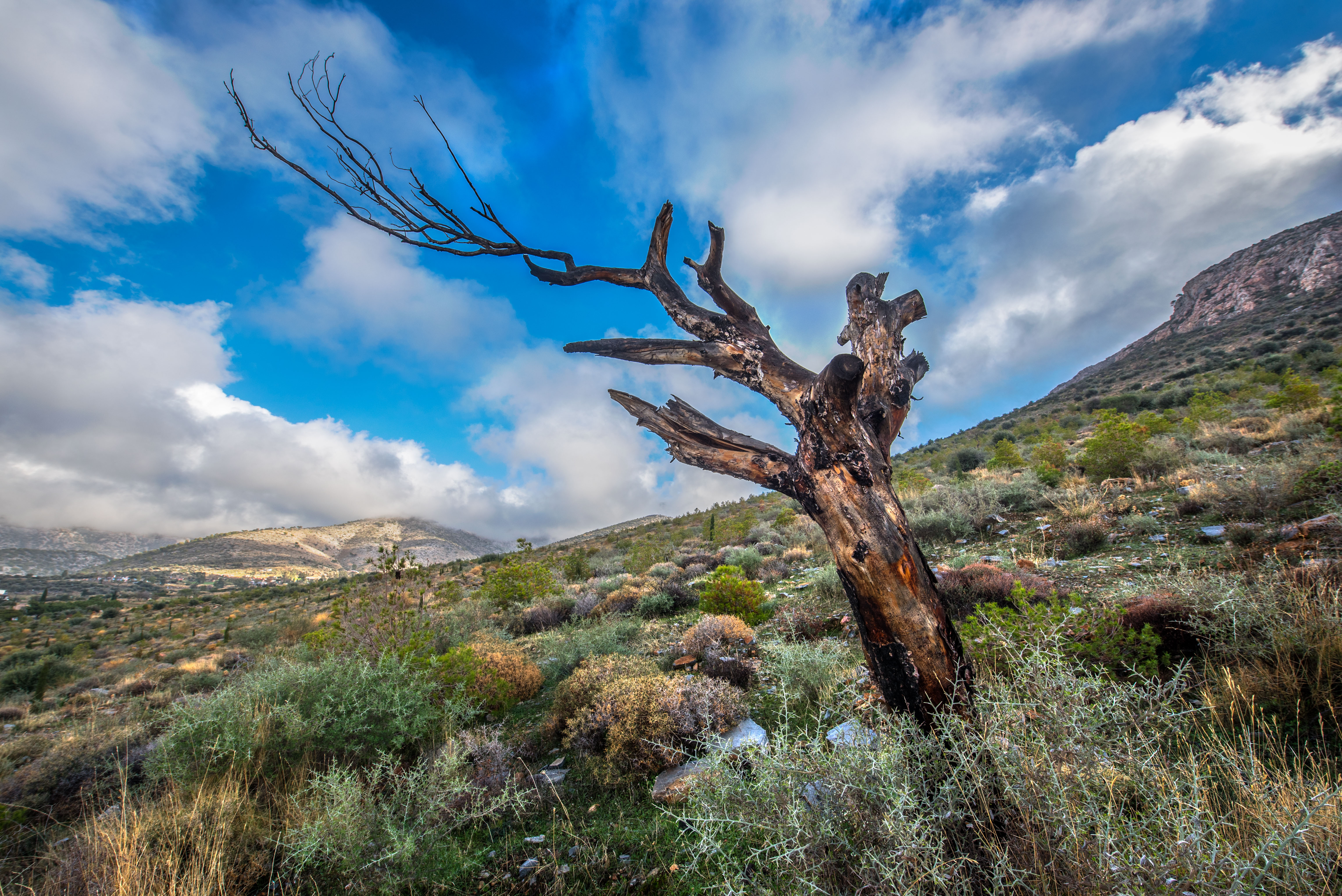
 View of Hymettus from Acropolis | |
| Highest point | |
| Elevation | 1,026 m (3,366 ft) |
| Coordinates | 37.963°N 23.81667°E |
| Geography | |
| Location | East-central Attica about 15 km E of central Athens |
| Parent range | Hymettus |
| Climbing | |
| Easiest route | climb, road |
Geography

The highest point of the mountain range is Evzonas (Εύζωνας) with an elevation of 1,026 m (3,366 ft)[2] and the length of Hymettus is 16 km (9.9 mi) from Athens to the Saronic Gulf and 6 to 7 km from east to west. In ancient times, the highest point was known as Megas Hymettos and the southern peaks as Elattona (Ελάττονα) and Anydros Hymettos (Ἄνυδρος Ὑμηττός, "waterless Hymettos"). Today the southern peaks are called Mavrovouni (Μαυροβούνι, "black mountain") and Kontra (Κόντρα). It was noted for its thyme honey.[1] Marble has been quarried since antiquity.[1] The neighboring communities that surround the mountain are Athens (municipality), Zografou, Kaisariani, Vyronas, Ilissia (a region of Zografou), Ymittos, Ilioupoli, Argyroupoli, Elliniko, Glyfada, Voula and Vouliagmeni in the west, Varkiza, Vari, Markopoulo and Paiania to its east, and Papagou, Cholargos, Agia Paraskevi, Gerakas and Glyka Nera. Most of the forest is in the north, and much of the mountain is rocky, deforested, grassy and made out of limestone.
The flanks of Hymettos are dotted with caves. The largest and most notable is Koutouki cave, which has its entrance on the east flank of the mountain, near Paiania.[3] The smaller Liontari cave has its mouth at the north end of the mountain, west of Glyka Nera and is named after the lion of Hymettos which is said to have lived on the mountain in the past and to have terrified the inhabitants of the surrounding area.[4]
Monuments
In antiquity there was a sanctuary to Zeus Ombrios ("Zeus rain bringer") on the summit with numerous offerings dating especially to the 8th-7th centuries BC; they are on the site of a military base and not currently accessible. There is also an ancient quarryman's hut on the western slopes of the mountain, one of two buildings in ancient Attica which preserves its roof.


There are several notable Byzantine monasteries on the mountain, including:[5]
- Kaisariani Monastery, founded in the 2nd century AD and built into the flank of the mountain, incorporating the ruins of an ancient church. The monastery reached its peak in the 12th and 13th centuries, when it was a political and spiritual centre.
- Monastery of St. John the Theologian, located between Cholargos and Papagou.
- Monastery of St John the Hunter, established on the northern peak of Hymettos in the 12th century.
- Kareas Monastery, located on the west flank of Hymettos near the village of Kareas.[6]
- Asteriou Monastery, located on the northwestern flank of Hymettos, to the west of Kaisariani.
Urban uses
Major campuses of the University of Athens and the National Technical University of Athens (collectively called "University Town") are located on the west-facing slope, between the Motorway 64, a ring road connected with the Motorway 6, and the urban sprawl of Athens. A transmitter park for several major TV and radio stations, along with military radar is located at the top of the mountain. Built up urban areas almost surround the entire mountain range. Access to the top of the mountain is restricted to authorized vehicles for maintenance of the towers.
Almost all of Athens, its eastern suburbs and the new airport can be seen from the mountain top along with the mountains of Parnitha to its northwest, Penteli to its north and Aigaleo to its west. The valley areas that create the lowest passes are to the south and one further south.
Alteration of the mountain
The mountain range features about six to seven landfills in the western part and another in the eastern part.
References
- Chisholm, Hugh, ed. (1911). . Encyclopædia Britannica. Vol. 14 (11th ed.). Cambridge University Press. p. 181.
- "Mount Hymettus". britannica.com.
- Υπουργείο Τουρισμού Σπήλαιο Παιανίας ή Σπήλαιο Κουτούκι
- Υπουργείο Τουρισμού Σπήλαιο Λιονταριού Υμηττού, Αττικής
- "Μνημεία στον Υμηττό" (PDF). Archived from the original (PDF) on 2013-04-12. Retrieved 2013-04-12.
- Αρχαιολογία της πόλεως των Αθήνων Ιερά μονή Αγίου Ιωάννη Προδρόμου Καρέα. Για όλες αυτές τις μονές του Υμηττού βλ. Κουτελάκης Χαρ., Φραγκοκρατούμενη Αθήνα και Τήνος (1204-1689), Αθήνα 2013.
External links
Authority control | |
|---|---|
| General | |
| National libraries | |
На других языках
[de] Hymettos
Der Hymettos (altgriechisch Ὑμηττός, neugriechisch Υμηττός .mw-parser-output .Latn{font-family:"Akzidenz Grotesk","Arial","Avant Garde Gothic","Calibri","Futura","Geneva","Gill Sans","Helvetica","Lucida Grande","Lucida Sans Unicode","Lucida Grande","Stone Sans","Tahoma","Trebuchet","Univers","Verdana"}Ymittos) ist ein bis zu 1026 m hoher Bergrücken auf der Halbinsel Attika in Griechenland. Er liegt etwa 10 km südöstlich des Stadtzentrums der griechischen Hauptstadt Athen und besteht aus zwei durch einen Pass getrennten Erhebungen.- [en] Hymettus
[es] Himeto
El Hymettus (del original griego) o monte Himeto, está situado al sur de Atenas, en Grecia.[fr] Hymette
L’Hymette (grec ancien : Ὑμηττός / Humēttós, grec moderne : Υμηττός / Ymittós) est un massif montagneux au sud-est d'Athènes, en Attique, dans le centre-est de la Grèce. Elle est aussi connue sous le nom de Trellos ou Trellovouni (Τρελοβούνι : « la montagne folle »), par retraduction en grec moderne d'une déformation italienne (Il Matto, « le Fou ») du nom originel (Hymettos)[1]. L'Hymette culmine à 1 026 m d'altitude à l'Evzonas et est longue de 16 km entre Athènes et le golfe Saronique, et large de 6 à 7 km de l'est à l'ouest.[it] Imetto
L'Imetto (in greco: Υμηττός) è un massiccio montuoso della Grecia, nell'Attica, a sudest di Atene.[ru] Имитос
Имито́с (устар. Гимет[2], или устар. Гиметт[3]; греч. Υμηττός) — гора, расположенная на востоке столицы Греции Афин[3]. Вершина достигает 1026 метров[1].Другой контент может иметь иную лицензию. Перед использованием материалов сайта WikiSort.org внимательно изучите правила лицензирования конкретных элементов наполнения сайта.
WikiSort.org - проект по пересортировке и дополнению контента Википедии