geo.wikisort.org - Mountains
Hillary Peak (Nepali: हिलारी शिखर) is the name which has been proposed by the Government of Nepal for a 7,681 metres (25,200 ft) peak in the Himalayas in honour of Edmund Hillary, who made the first ascent of Everest with Tenzing Norgay in 1953.[1]
| Hillary Peak | |
|---|---|
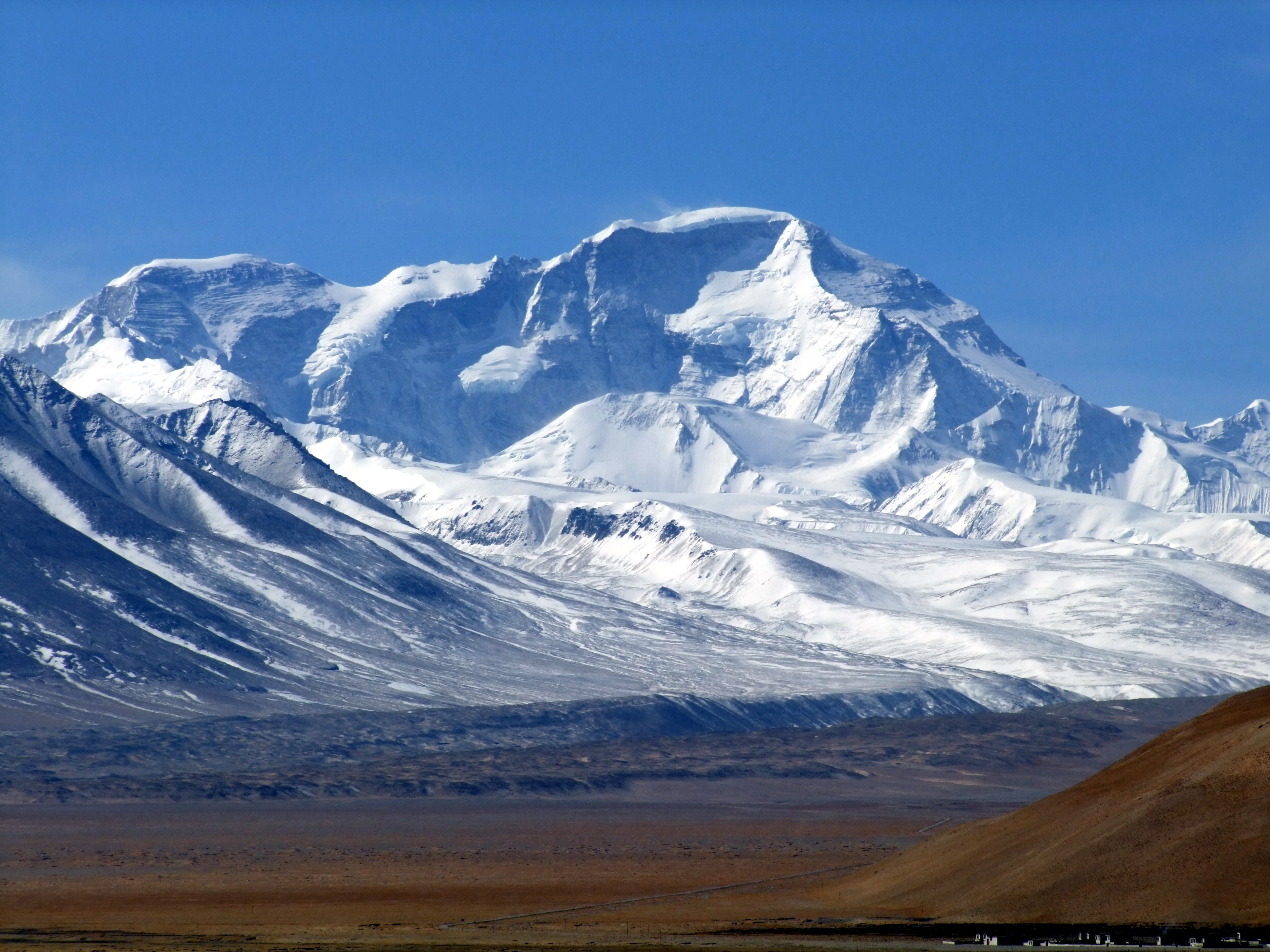 The North Face of Cho Oyu from Tingri in Tibet. The Ngojumba Kang peaks are on the left. | |
| Highest point | |
| Elevation | 7,681 m (25,200 ft)[1] |
| Coordinates | 28°06′24″N 86°42′58″E |
| Geography | |
 Hillary Peak Location in Nepal | |
| Location | Solukhumbu, Nepal |
| Parent range | Himalayas |
In September 2013 a government panel recommended that two mountains be renamed Hillary Peak and Tenzing Peak as part of a batch of summits that would be opened to climbers in 2014. The coordinates given by the government indicate that it is one of a clutch of peaks on the Nepal and Tibet border between Cho Oyu and Gyachung Kang, known variously as Ngojumba Kang, Ngozumpa Kang and Ngojumba Ri.[2]
In the fall of 2016, two time Everest summiter Elia Saikaly along with Pasang Kaji Sherpa made an expedition to Hillary Peak.[3] They called off their summit bid due to dangers encountered including rock-falls, bad weather, hidden crevasses, and snow related issues.[4]
See also
- Hillary Step
- Hillary Montes
References
- "Mount Everest: Hillary and Tenzing to have peaks named after them". The Guardian. 2013-09-06. Archived from the original on 2013-09-11. Retrieved 2019-05-11.
- "Government of Nepal officially opens 104 new peaks for montaineering [sic]". 23 May 2014. Retrieved 11 May 2019.
- "Canadian to Become the First Climber to Summit Hillary Peak on Historic Himalayan Climb". PRWeb. Retrieved 24 May 2017.
- "Elia Saikaly 'not prepared to die on the mountain,' ends summit bid". Ottawa Citizen. 8 October 2016. Retrieved 24 May 2017.
This article related to a mountain or hill in Nepal is a stub. You can help Wikipedia by expanding it. |
Другой контент может иметь иную лицензию. Перед использованием материалов сайта WikiSort.org внимательно изучите правила лицензирования конкретных элементов наполнения сайта.
WikiSort.org - проект по пересортировке и дополнению контента Википедии