geo.wikisort.org - Mountains
Cerro Batoví is a hill in Uruguay, with an altitude of 224 metres (734.9 ft). It is situated 25 km (15.5 mi) away from the city of Tacuarembó.
| Cerro Batoví | |
|---|---|
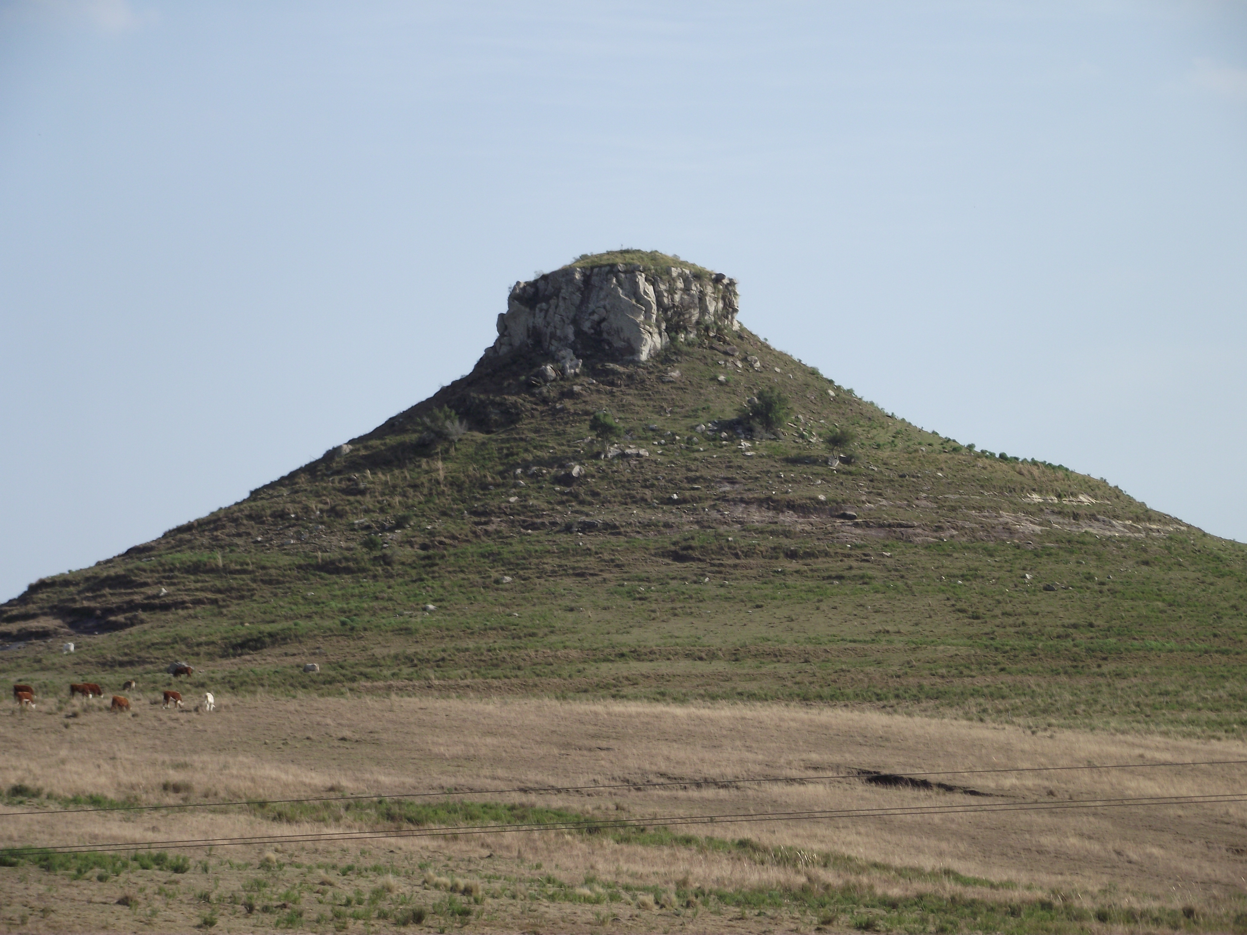 Cerro Batoví, situated near Tacuarembó | |
| Highest point | |
| Elevation | 224 m (735 ft) |
| Listing | Breast-shaped hills |
| Coordinates | 31°52′33″S 56°00′41″W |
| Naming | |
| English translation | Cerro (Hill in Spanish); Batoví (Breast of a virgin in Guaraní) |
| Language of name | Spanish/Guaraní |
| Pronunciation | Spanish: [ˈθero βatoˈβi] |
| Geography | |
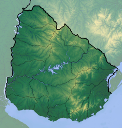 Cerro Batoví Uruguay | |
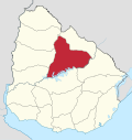
| Location | Tacuarembó, Tacuarembó Department, Uruguay |
| Parent range | Cuchilla de Haedo |
| Geology | |
| Age of rock | Precambrian |
| Mountain type | Hill |
| Climbing | |
| Easiest route | Hike |
Location and features
It is located in the Tacuarembó Department, in a range of hills named Cuchilla de Haedo. Batoví means "breast of a virgin" in the Guaraní language and the hill has this name due to its curious shape.
Cerro Batoví is considered the symbol of the Tacuarembó Department.
See also
- Breast-shaped hill
- Cerro Catedral
- Cerro de las Ánimas
- Cerro Pan de Azúcar
- Geography of Uruguay
External links
- (in Spanish) Enciclopedia Geográfica del Uruguay.
| Wikimedia Commons has media related to Cerro Batoví. |
Capital: Tacuarembó | ||
| Municipalities |
|  |
| Towns and villages |
| |
| Sights | ||
This article about a place in Tacuarembó Department is a stub. You can help Wikipedia by expanding it. |
На других языках
[de] Cerro Batoví
Der Cerro Batoví ist ein Berg in Uruguay.- [en] Cerro Batoví
[es] Cerro Batoví
El Cerro Batoví es un cerro ubicado en la 2ª Sección de la ciudad de Tacuarembó, al norte del arroyo del mismo nombre, sobre la ruta 5, a 25 kilómetros de la ciudad, capital del departamento homónimo, de la República Oriental del Uruguay. Su altura es de 224 metros. El cerro dio el nombre al paraje, ubicado muy cercano a este, Sauce de Batoví, existen cartas de don José Gervasio Artigas firmadas en esta región en 1814.[1]Текст в блоке "Читать" взят с сайта "Википедия" и доступен по лицензии Creative Commons Attribution-ShareAlike; в отдельных случаях могут действовать дополнительные условия.
Другой контент может иметь иную лицензию. Перед использованием материалов сайта WikiSort.org внимательно изучите правила лицензирования конкретных элементов наполнения сайта.
Другой контент может иметь иную лицензию. Перед использованием материалов сайта WikiSort.org внимательно изучите правила лицензирования конкретных элементов наполнения сайта.
2019-2026
WikiSort.org - проект по пересортировке и дополнению контента Википедии
WikiSort.org - проект по пересортировке и дополнению контента Википедии