geo.wikisort.org - Mountains
Beinn a' Chlachair (1,087 m) is a mountain in the Grampian Mountains of Scotland. It lies south of Loch Laggan, near the remote hamlet of Kinloch Laggan.
| Beinn a' Chlachair | |
|---|---|
 Beinn a' Chlachair from the Allt Meall Ardruighe reservoir | |
| Highest point | |
| Elevation | 1,087 m (3,566 ft)[1] |
| Prominence | 539 m (1,768 ft) |
| Listing | Munro, Marilyn |
| Coordinates | 56°52′10″N 4°30′35″W |
| Geography | |
| Location | Highland, Scotland |
| Parent range | Grampian Mountains |
| OS grid | NN471781 |
| Topo map | OS Landranger 42 |
The highest of a group of three Munros, the mountain has a spacious plateau on its summit, while three of sides are steep. There is a corrie on its northern face.[2]
References
- "Beinn a'Chlachair". hill-bagging.co.uk. Retrieved 9 May 2019.
- "walkhighlands Beinn a'Chlachair". walkhighlands.co.uk. Retrieved 9 May 2019.
Munros of Scotland: Fort William to Loch Ericht | |||
|---|---|---|---|
 | Nevis range | 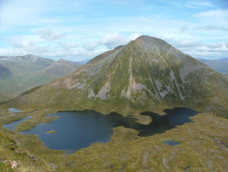 | |
| Mamores | |||
| Grey Corries |
| ||
| Alder/Ardverikie |
| ||
| Ossian/Treig |
| ||
List of Munros and Munro Tops in Scotland | |||
This Scottish location article is a stub. You can help Wikipedia by expanding it. |
На других языках
[de] Beinn a’ Chlachair
Der Beinn a’ Chlachair ist ein als Munro und Marilyn eingestufter, 1.087 m (3.566 ft) hoher Berg in Schottland. Sein gälischer Name kann in etwa mit Berg des Steinmetzes übersetzt werden.[1]- [en] Beinn a' Chlachair
Текст в блоке "Читать" взят с сайта "Википедия" и доступен по лицензии Creative Commons Attribution-ShareAlike; в отдельных случаях могут действовать дополнительные условия.
Другой контент может иметь иную лицензию. Перед использованием материалов сайта WikiSort.org внимательно изучите правила лицензирования конкретных элементов наполнения сайта.
Другой контент может иметь иную лицензию. Перед использованием материалов сайта WikiSort.org внимательно изучите правила лицензирования конкретных элементов наполнения сайта.
2019-2026
WikiSort.org - проект по пересортировке и дополнению контента Википедии
WikiSort.org - проект по пересортировке и дополнению контента Википедии