geo.wikisort.org - Bergen
Das Malta-Plateau ist ein vereistes Hochplateau von etwa 40 km Ausdehnung in den Victory Mountains des ostantarktischen Viktorialands. Das unregelmäßig geformte Plateau wird im Süden und Westen begrenzt durch den Mariner-Gletscher, im Norden durch Nebengletscher des Trafalgar-Gletschers und im Osten durch Nebengletscher des Borchgrevink-Gletschers.
| Malta-Plateau | ||
|---|---|---|
| Höchster Gipfel | Mount Phillips (3035 m) | |
| Lage | Viktorialand, Ostantarktika | |
| Teil der | Victory Mountains, Transantarktisches Gebirge | |
| ||
| Koordinaten | 72° 58′ S, 167° 18′ O | |
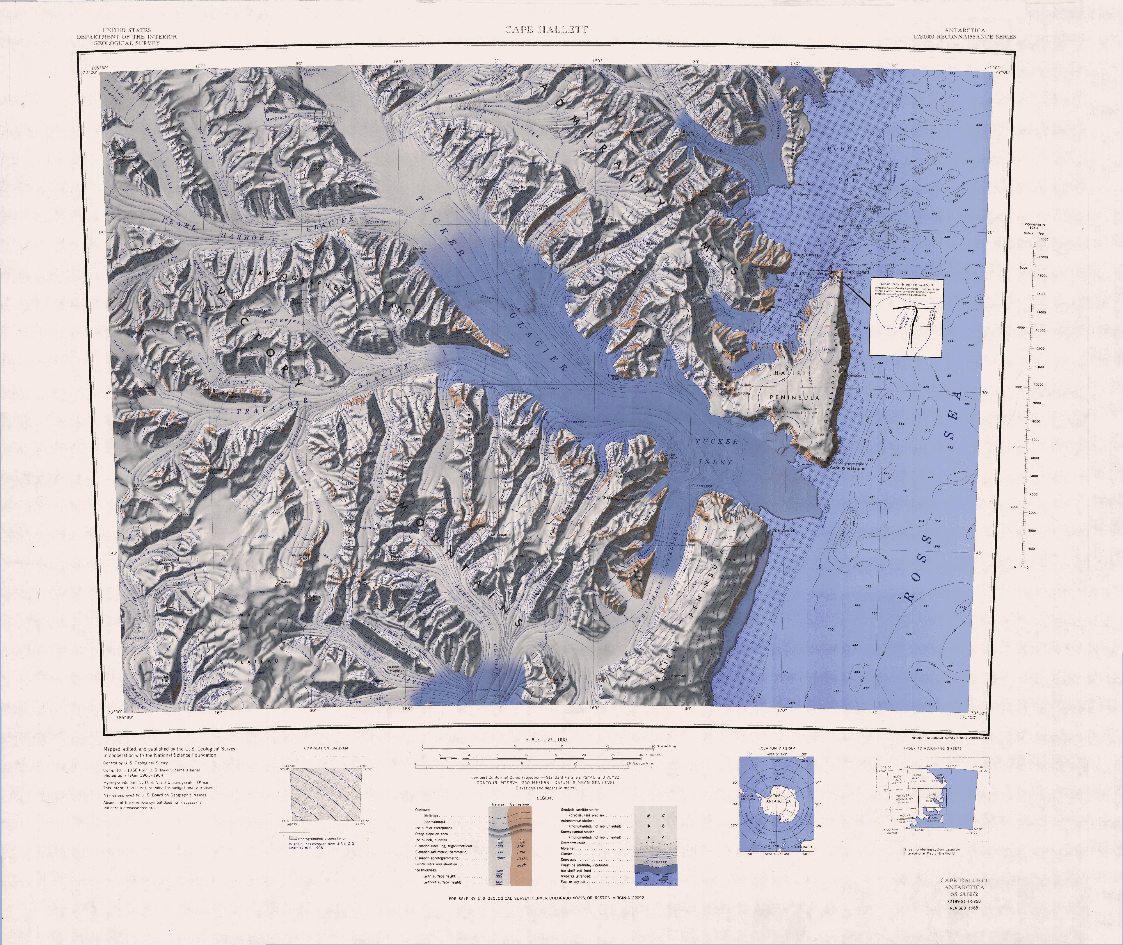 Karte von 1968, Malta-Plateau im Südwesten | ||
 Karte von 1967, Südteil des Malta-Plateaus im Nordwesten | ||

Das New Zealand Antarctic Place-Names Committee benannte es, um an die Bedeutung der Insel Malta in Verbindung mit dem Benennungshintergrund für die Victory Mountains zu erinnern.
Weblinks
- Malta Plateau im Geographic Names Information System des United States Geological Survey (englisch)
- Malta Plateau auf geographic.org (englisch)
На других языках
- [de] Malta-Plateau
[en] Malta Plateau
Malta Plateau (.mw-parser-output .geo-default,.mw-parser-output .geo-dms,.mw-parser-output .geo-dec{display:inline}.mw-parser-output .geo-nondefault,.mw-parser-output .geo-multi-punct{display:none}.mw-parser-output .longitude,.mw-parser-output .latitude{white-space:nowrap}72°58′S 167°18′E) is an ice-covered plateau of about 25 nautical miles (46 km) extent in the Victory Mountains of Victoria Land, Antarctica. The plateau is irregular in shape and is bounded on the south and west by Mariner Glacier, on the north by tributaries to Trafalgar Glacier, and on the east by tributaries to Borchgrevink Glacier. It was named by the New Zealand Antarctic Place-Names Committee to commemorate the island of Malta in association with the Victory Mountains.[1] The plateau is part of the Melbourne Volcanic Province of the McMurdo Volcanic Group.[2][it] Altopiano Malta
L'altopiano Malta è un altopiano completamente ricoperto dai ghiacci situato nella parte nord-occidentale della Dipendenza di Ross, nell'Antartide orientale. In particolare, l'altopiano si trova nell'entroterra della costa di Borchgrevink, nella parte sud-occidentale delle montagne della Vittoria, e si estende per circa 46 km in direzione nord-sud, per una larghezza massima di 25 km in direzione est-ovest. I confini dell'altopiano, la cui altezza varia tra i 2400 e i 2900 m s.l.m., raggiunti da un picco nella parte meridionale della formazione, e che ha una forma piuttosto irregolare, sono segnati a ovest dai ghiacciai Osuga e Seafarer, a est dai ghiacciai Gruendler e Hand, a sud ghiacciaio Mariner e a nord dal ghiacciaio Trafalgar. Dai versanti dell'altopiano partono diversi ghiacciai che poi si uniscono ai già menzionati Seafarer, Mariner e Trafalgar, come il ghiacciaio Wilhelm, che si dirige verso ovest, il Trainer, che si dirige verso nord, e il Line, che va verso ovest.[1]Текст в блоке "Читать" взят с сайта "Википедия" и доступен по лицензии Creative Commons Attribution-ShareAlike; в отдельных случаях могут действовать дополнительные условия.
Другой контент может иметь иную лицензию. Перед использованием материалов сайта WikiSort.org внимательно изучите правила лицензирования конкретных элементов наполнения сайта.
Другой контент может иметь иную лицензию. Перед использованием материалов сайта WikiSort.org внимательно изучите правила лицензирования конкретных элементов наполнения сайта.
2019-2026
WikiSort.org - проект по пересортировке и дополнению контента Википедии
WikiSort.org - проект по пересортировке и дополнению контента Википедии