geo.wikisort.org - Island
Pitt Island is the second largest island in the Chatham Archipelago, New Zealand. It is called Rangiauria in Māori and Rangiaotea in Moriori.[2]
 Pitt Island from space | |
 Map showing location of Pitt Island | |
| Geography | |
| Coordinates | 44°17′15″S 176°13′12″W |
| Archipelago | Chatham Islands |
| Area | 65 km2 (25 sq mi) |
| Highest elevation | 241 m (791 ft)[1] |
| Highest point | Waihere |
| Administration | |
New Zealand | |
| Demographics | |
| Population | 38 (2011) |
| Pop. density | 0.59/km2 (1.53/sq mi) |
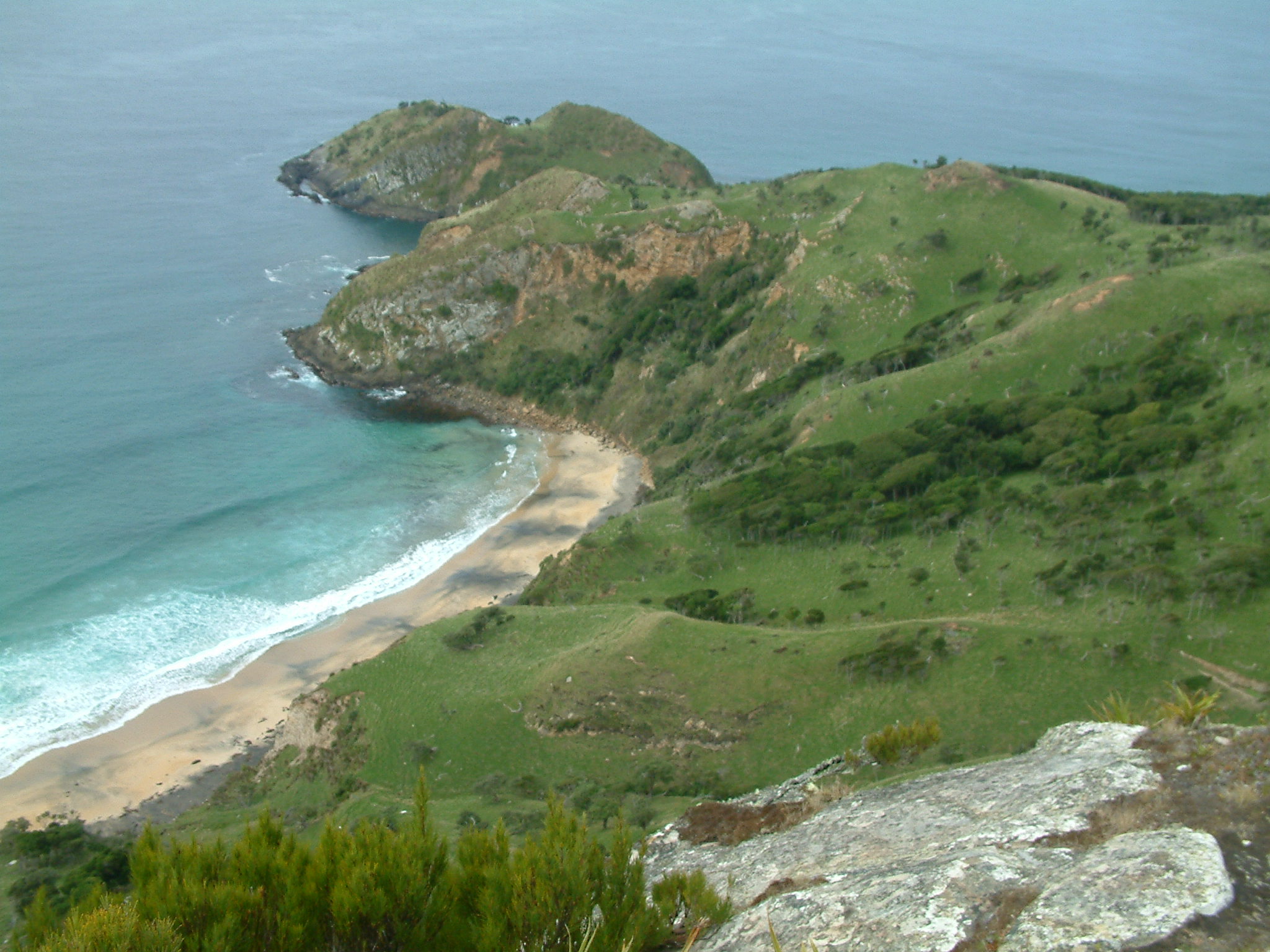
Pitt Island has an area of 65 square kilometres (25 sq mi). It lies about 770 kilometres (480 mi)[3] to the east of New Zealand's main islands, and about 20 kilometres (12 mi) to the southeast of Chatham Island, from which it is separated by Pitt Strait. The island is hilly; its highest point (Waihere Head) rises to 241 metres (791 ft) above sea level.[1] As of 2011[update], Pitt Island had a population of about 38 people.
Pitt Island's Kahuitara Point is the first populated location on earth to observe a sunrise in each new year, based on local time zone.[4]
History

Pitt Island was originally inhabited by the Moriori, the indigenous peoples of the Chatham Islands, who called it Rangiaotea or Rangihaute. Their archaeological remains are found almost everywhere on the island; large quantities of artefacts are constantly coming to light.[5][6] No remains of momori rakau are visible on the island, but there are records of them once being present.[7]
The first Europeans to see and name Chatham Island were the crew of William Robert Broughton's ship HMS Chatham in November 1791. However, they did not see Pitt Island. The first to do so was Captain Charles Johnston on HMS Cornwallis in May 1807. He named it 'Pitt's Island' after William Pitt, 1st Earl of Chatham. In 1840, the name was simplified to "Pitt" Island. Taranaki Maori who invaded the Chatham Islands in 1835 called it Rangiauria, a name which is still in use today.
Over the years there have been many ships wrecked around both Pitt and Chatham Islands. One of these was the Australian sealing brig Glory, which was wrecked on Pitt Island in what became known as Glory Bay in January 1827.[8]
European settlers arrived in the Flower Pot Bay in 1843.[9]
Economy and facilities
The main sources of income for Pitt Islanders are farming, commercial fishing, and tourism. The New Zealand Department of Conservation is active on Pitt Island and, in conjunction with several landowners, administers a number of covenanted areas and reserves. The island imports fuel and most manufactured goods, and exports live sheep and cattle to mainland New Zealand.
The island has a school, a wharf, a church and a grass landing strip for light planes.[10] A gravel road runs from Flower Pot Bay to the airstrip. A supply ship visits Pitt Island about every three months. Each household generates its own electricity, by either diesel generator or wind turbine. Most homes have satellite TV and broadband internet connections. Transport on the island is mostly by means of quad bikes, four wheel drives and occasionally horses. In 2011, the Pitt Island School had eight children, aged between 6 and 12 years. [11]
Air Chathams operates from Pitt Island to Chatham Island with their Cessna 206.
Fauna and flora
On Pitt Island there are several flocks of feral Saxon Merino sheep.
See also
References
- "Waihere, Chatham Islands - NZ Topo Map". Land Information New Zealand. Retrieved 17 October 2017.
- Government of New Zealand, Dept. of Conservation (1999) Chatham IslandsConservation Management Strategy, map 6. Retrieved 13 July 2012.
- "Chatham Islands Page 1 Overview". web page. The Encyclopedia of New Zealand. 7 September 2012. Retrieved 15 December 2012.
- "First Sunrise of the New Millennium". Astronomical Applications Department, U.S. Naval Observatory. Archived from the original on 26 June 2004.
- King 2000.
- "Education-resources for unit plans, unit-plan templates index". Education-resources.co.nz. Retrieved 8 August 2019.
- King 2000
- The Australian, 20 March 1827, p.3
- "Pitt Island". chathamislands.co.nz. Retrieved 11 October 2022.
- "C206 landing Pitt Island". YouTube. Archived from the original on 22 December 2021. Retrieved 8 August 2019.
- https://www.cic.govt.nz/assets/CIC/Documents/Chatham-Islands-Economic-Profile-Report-2017.pdf
External links
- Moriori Education Resources Online
- Official Moriori Website With Information on Pitt Island Moriori
| Islands (by English name) |
|  |
|---|---|---|
| Islands (by Māori/Moriori name) |
| |
| Coastal landforms |
| |
| Populated places |
| |
| Other geographic features |
| |
| Historical events |
| |
На других языках
[de] Pitt Island
Pitt Island (Moriori: Rangiaotea; Māori: Rangiauria) ist die zweitgrößte Insel der Chatham-Inseln im südwestlichen Pazifik, und gehört somit zu Neuseeland, das von den Inseln etwa 800 Kilometer entfernt liegt.- [en] Pitt Island
[es] Isla Pitt (Chatham)
La isla Pitt o Rangiauria en maorí, es la segunda isla más grande del archipiélago de las islas Chatham, al principio conocido como Rekohu. Territorialmente Rekohu es parte de Nueva Zelanda, que se encuentra a unos 800 kilómetros al oeste. En la isla se encuentra punto de Kahuitara, que es el primer lugar poblado sobre la tierra para observar el principio de cada nuevo día, basado en la hora local.[fr] Île Pitt
L'île Pitt (en māori Rangi Aotea et en moriori Rangihaute[2]) est une île néo-zélandaise de l'océan Pacifique Sud, la deuxième en superficie de l'archipel des îles Chatham. Située à environ 800 kilomètres à l'est de l'île du Sud et à quelques kilomètres au sud-est de l'île Chatham, elle est la deuxième île habitée de l'archipel.[it] Isola Pitt (Nuova Zelanda)
L'isola di Pitt, in māori Rangiauria, è un'isola neozelandese del Pacifico meridionale, la seconda per superficie dell'arcipelago delle isole Chatham. Situata a circa 800 chilometri ad est dell'Isola del Sud ed a qualche chilometro a sud-est dell'isola di Chatham, è la seconda isola abitata dell'arcipelago.[ru] Питт (остров)
Питт или Рангиаириа (англ. Pitt Island) — второй по величине остров архипелага Чатем. Принадлежит Новой Зеландии.Другой контент может иметь иную лицензию. Перед использованием материалов сайта WikiSort.org внимательно изучите правила лицензирования конкретных элементов наполнения сайта.
WikiSort.org - проект по пересортировке и дополнению контента Википедии