geo.wikisort.org - Island
Newshot Island or Newshot Isle was an island of circa 50 acres or 20 hectares lying in the estuarine waters of the River Clyde close to Park Quay in the Parish of Inchinnan, Renfrewshire, Scotland. Due to silting, etc. it has become part of the southern, Renfrewshire side, of the river bank and is used for grazing cattle and as a nature reserve.
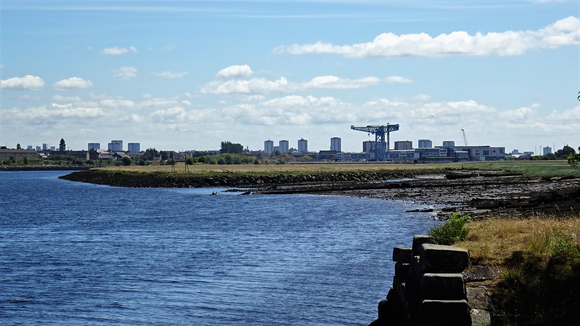
 Newshot Island from the air | |
| Location | |
|---|---|
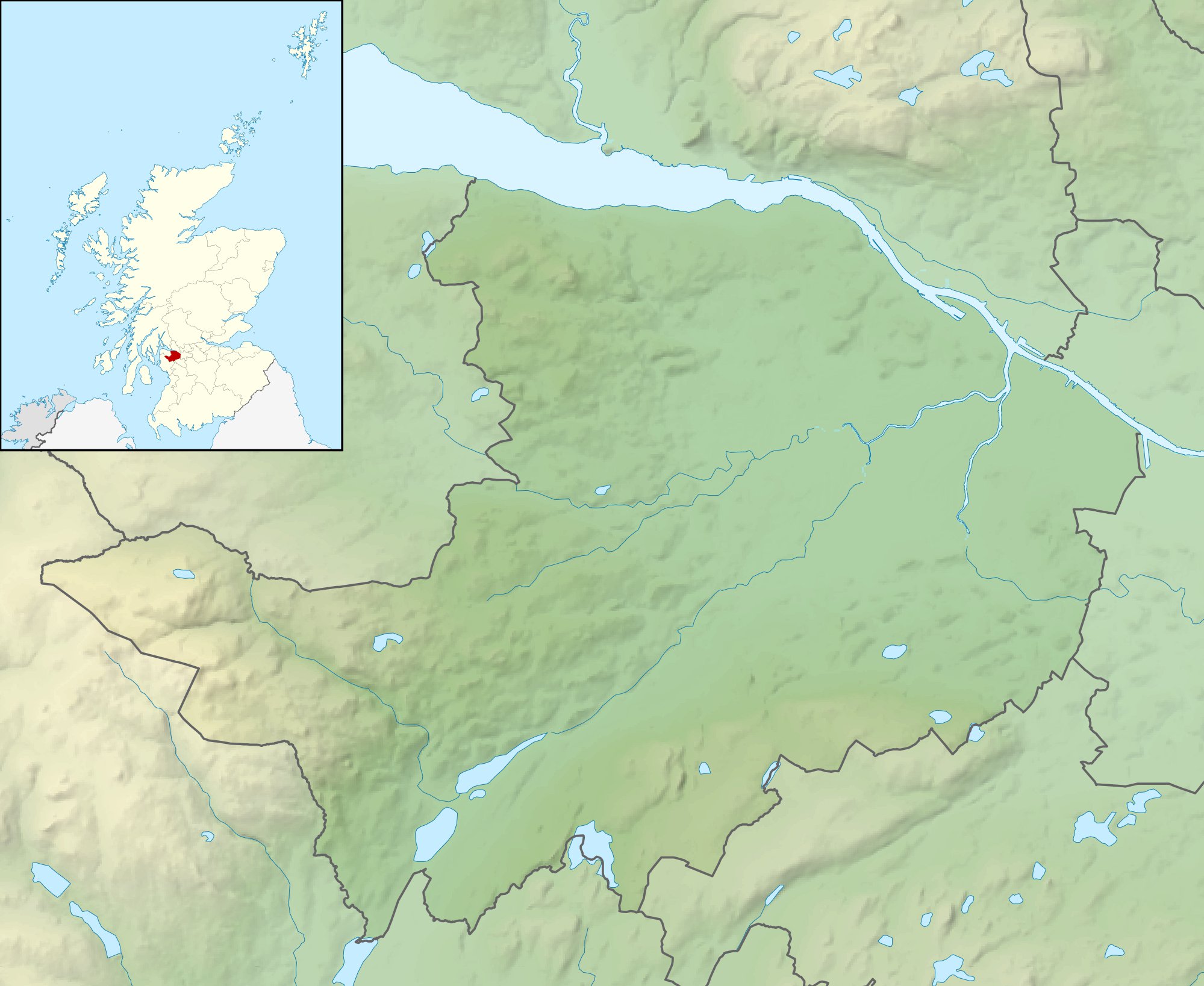 Newshot Island Relief maps of Newshot Island  Newshot Island Newshot Island (West Dunbartonshire)  Newshot Island Newshot Island (Scotland) | |
| OS grid reference | NS48757011 |
| Coordinates | 55.9003°N 4.42068°W |
| Physical geography | |
| Island group | Islands of the River Clyde |
| Area | c.3ha |
| Highest elevation | <3 metres (9.8 ft) |
| Administration | |
| Sovereign state | United Kingdom |
| Country | Scotland |
| Council area | Renfrewshire |
| Demographics | |
| Population | 0 |
The Scots word 'shot' or its spelling variants was an ancient unit for a division of land or alternatively a projecting area of land, a peninsula.[1] A 'Shot' also has the meaning of a place where fishing-nets were generally used and, in salmon fishing terminology, a part of the river from which nets were cast.[1]
Islands in the River Clyde
Islands of the River Clyde, rather than sand or mud banks only exposed at low water, once included in order, working upstream towards Glasgow :- Milton, Bodinbo, Newshot, Ron, Sand Inch, Kings Inch, Buck Inch, White Inch and Water Inch. A Colin's Isle once sat in the waters of the Cart near its confluence with the River Clyde.[2]
The name 'Inch' is Scots deriving from the Gaelic 'Innis', an island.[3] The name 'Ron' in Scots refers to a thicket of hawthorns or rose briers, an area of stunted and crowded woodland.[4]
Newshot Island
The Palace or Castle of Inchinnan was built circa 1506 by the Darnley family. Largely still standing in 1710, it had been completely demolished by the end of the 18th century and some of its stones used in the construction of a wall built on Newshot Island.[5] In 1745 the lands of Inchinnan, its mill and the Newshots Isles 'within the Floodmark' were granted to James Campbell of Blythswood.[6]

The farm of Garnieland, now demolished, stood near the old Palace of Inchinnan and included the lands and isles of Newshot.[7][8]
Timothy Pont's early 17th century map clearly shows a single 'Neushot' island[9] and by the mid-17th century 'New-Shot' is recorded close to Ron island and opposite Inchinnen Castle.[10] In 1800 the island is recorded as 'Nushet'.[11] The name is 'Newshot' is used by 1832.[12]


Some maps show an islet lying on the south-western side of the main island.[13][14][15] By 1896 this islet had joined with the south bank.[16]
A beacon or marker indicating the southernmost limit of the Clyde's deep-water channel existed in 1846 chart of the river but was absent by 1864.[17]
The OS Name Book of 1856-1857 records Newshot Island as "An extensive and very remarkable tract of land following the course of the River Clyde about 1½ miles. On the south side, it is bounded by the "Old Channel", or former course of the above, tapering at both extremeties. The surface is quite flat, and, excepting the part covered at "High Water," may be regarded as very good pasture land."[18]
A number of maps from 1800 show a small building on the island[8][19][20] and at one time apparent cultivation[21] and hedgerows or dykes.[22] A small raised area on the isle may represent the location of the building. The first direct connection to the Garnieland Farm was a causeway or bridge built towards the upstream end of the isle in 1800[23][12] and later in the 19th century a second causeway was built, centred at (NS481702).[24]
These causeways may have interfered with the water flow to the extent that silt deposits built up and eventually by 1896 the upstream section of the island became physically land linked to the southern bank.[16] The old river channel thus became silted up whilst the new channel became deep enough for large ships to reach Glasgow.[25] The old river channel also appears to have been used as a site for the mud punts to dispose of the dredgings from the docks at Glasgow.[26]
The island has a possible fishing weir remnant built across the inner lagoon.[27][28]
A WWII barrage balloon mooring anchor was located on the island.[29]
Ship graveyard
The Newshot Island site is a scheduled monument that includes wrecks of mud punts and a diving support vessel. Twenty-eight punts are located here and a circa 1852 iron hulled dive support vessel. Immediately adjacent to the diving support vessel is a square structure. The surrounding dredged material may contain objects dredged from the River Clyde associated with the maintenance linked to the deepening of the River Clyde's navigation channels.[26]
The Queen Mary
The RMS Queen Mary briefly grounded on Newshot Isle on her journey down the Clyde after her launch on 24 March 1936.[30]
Wildlife

The Newshot Local Nature Reserve is a 73-hectare site that is valuable for its salt-marshes and as a feeding and nesting site for a migratory birds from North America, Siberia and West Africa.[citation needed]
See also
- Bodinbo Island
- Donald's Quay
- King's Inch
- Milton Island
- Park Quay
- Rashielee Quay
- St Patrick's Rock
- Sand Inch
- White Inch
References
- Notes
- "Dictionary of Scots". Retrieved 4 July 2018.
- "Gazetteer of Scotland - Parish of Inchinnan". Retrieved 22 July 2018.
- "Timothy Pont's map No.33". Retrieved 24 July 2018.
- "Dictionary of Scots". Retrieved 24 July 2018.
- "WoSAS Site ID: 7627 Inchannan Palace". Retrieved 23 July 2018.
- "Selections from the judicial records of Renfrewshire : illustrative of the administration of the laws in the county, and manners and condition of the inhabitants, in the seventeenth and eighteenth centuries ; with notes introductory and explanatory facsimiles of old documents, and plan of Paisley 1490 till about 1545". 1878. Retrieved 24 July 2018.
- "Canmore - Garnieland". Retrieved 24 July 2018.
- "Ainslie, John, 1745-1828. Map of the County of Renfrew". Retrieved 25 July 2018.
- "Timothy Pont - Renfrewshire". Retrieved 25 July 2018.
- "Robert Gordon - Barony of Renfrew". Retrieved 25 July 2018.
- "Ainslie, John, 1745-1828. Map of the County of Renfrew". Retrieved 25 July 2018.
- "John Thomson's Atlas of Scotland, 1832". Retrieved 25 July 2018.
- "1747-55 - William ROY - Military Survey of Scotland". Retrieved 25 July 2018.
- "Taylor and A Skinner's Survey and maps of the roads of North Britain or Scotland, 1776". Retrieved 25 July 2018.
- "Ainslie, John, 1745-1828. Map of the County of Renfrew". Retrieved 25 July 2018.
- "Dumbartonshire Sheet XXV.NW, Surveyed: 1896, Published: 1899". Retrieved 25 July 2018.
- "Canmore - River Clyde, Newshot Island Beacon". Retrieved 24 July 2018.
- "Ordnance Survey Name Book - Newshot Island". Retrieved 24 July 2018.
- "1856-1858 - ORDNANCE SURVEY - Six-inch 1st edition maps of Scotland". Retrieved 25 July 2018.
- "Dumbartonshire Sheet XXV.NW, Surveyed: 1896, Published: 1899". Retrieved 25 July 2018.
- "1747-55 - William ROY - Military Survey of Scotland". Retrieved 25 July 2018.
- "1856-1858 - ORDNANCE SURVEY - Six-inch 1st edition maps of Scotland". Retrieved 25 July 2018.
- "Ainslie, John, 1745-1828. Map of the County of Renfrew". Retrieved 25 July 2018.
- "Canmore - Newshot Island Causeway". Retrieved 24 July 2018.
- "1856-1858 - ORDNANCE SURVEY - Six-inch 1st edition maps of Scotland". Retrieved 25 July 2018.
- Historic Environment Scotland. "Newshot Island, River Clyde, remains of diving support vessel and dredging barges (SM13692)". Retrieved 16 April 2019.
- "A Wildlife Walk Along the Erskine Shore". Retrieved 4 July 2018.
- "Dumbartonshire Sheet XXV.NW, Surveyed: 1896, Published: 1899". Retrieved 25 July 2018.
- "Newshot Island Barrage Balloon Mooring". Retrieved 24 July 2018.
- "A Wildlife Walk along the Erskine Shore". Retrieved 23 July 2018.
- Sources
- Moore, John (2017). The Clyde. Mapping the River. Edinburgh : Birlinn Ltd.ISBN 978-178027-482-9.
|  | ||||||||||||||||
|
| |||||||||||||||||
| |||||||||||||||||
| |||||||||||||||||
| |||||||||||||||||
| |||||||||||||||||
| |||||||||||||||||
| |||||||||||||||||
External links
Другой контент может иметь иную лицензию. Перед использованием материалов сайта WikiSort.org внимательно изучите правила лицензирования конкретных элементов наполнения сайта.
WikiSort.org - проект по пересортировке и дополнению контента Википедии