geo.wikisort.org - Island
Mahurangi Island, also known as Goat Island, is located 1.1 kilometres (0.68 mi) to the north-east of Hahei on the Coromandel Peninsula in New Zealand's North Island. The uninhabited[1] island is 6 hectares in size.[2]
Mahurangi (Māori) | |
|---|---|
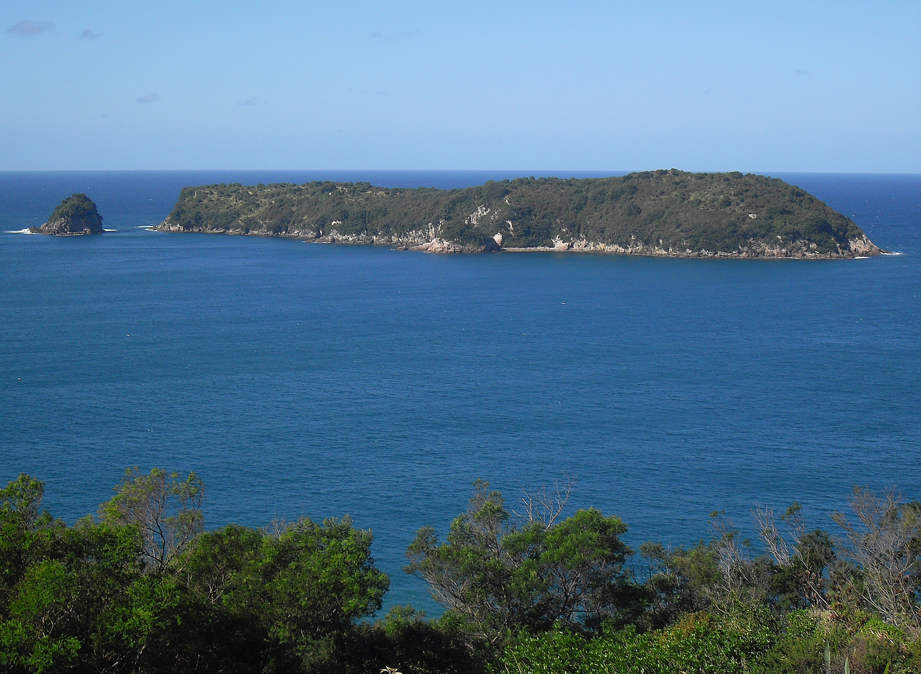 Mahurangi Island including Okorotere Island (left) | |
| Geography | |
| Location | Waikato region |
| Coordinates | 36°49′49″S 175°49′12″E |
| Area | 0.06 km2 (0.023 sq mi) |
| Length | 1 km (0.6 mi) |
| Width | .35 km (0.217 mi) |
| Highest point | 80 |
| Administration | |
New Zealand | |
| Demographics | |
| Population | 0 |
Mahurangi Island forms one corner of the Te Whanganui-A-Hei (Cathedral Cove) Marine Reserve.[3]
Nearby are many smaller islands including Okorotere and Te Tio Islands.
See also
- Motueka Island (Pigeon Island)
- New Zealand outlying islands
- List of islands of New Zealand
- List of islands
- Desert island
References
- "Population by meshblock (2013 Census)". Stats NZ. 11 December 2015. Retrieved 30 May 2018.
- "Pigeon Island / Motueka". Rodent Invasion Project. © 2004 - 2005 Department of Statistics, The University of Auckland. Retrieved 1 April 2013.
- "Te Whanganui-A-Hei (Cathedral Cove) Marine Reserve". Places to visit. Department of Conservation. Retrieved 1 April 2013.
External links
Wikimedia Commons has media related to Mahurangi Island.
This Waikato geography article is a stub. You can help Wikipedia by expanding it. |
На других языках
[de] Mahurangi Island (Waikato)
Mahurangi Island, auch als Goat Island bekannt, ist eine Insel an der Ostküste der Coromandel Peninsula und der Nordinsel von Neuseeland.[1]- [en] Mahurangi Island (Goat Island)
Текст в блоке "Читать" взят с сайта "Википедия" и доступен по лицензии Creative Commons Attribution-ShareAlike; в отдельных случаях могут действовать дополнительные условия.
Другой контент может иметь иную лицензию. Перед использованием материалов сайта WikiSort.org внимательно изучите правила лицензирования конкретных элементов наполнения сайта.
Другой контент может иметь иную лицензию. Перед использованием материалов сайта WikiSort.org внимательно изучите правила лицензирования конкретных элементов наполнения сайта.
2019-2025
WikiSort.org - проект по пересортировке и дополнению контента Википедии
WikiSort.org - проект по пересортировке и дополнению контента Википедии