geo.wikisort.org - Island
Desborough Island is a 112-acre (0.45 km2) manmade island in the River Thames on the reach above Sunbury Lock in Surrey, England. It was formed in the 1930s by the digging of a channel – the Desborough Cut – by the Thames Conservancy as a meander cutoff of narrow width on the right bank. The island and cut are named after Lord Desborough, a chairman of the Thames Conservancy.
| Desborough Island and Cut map | ||||||||||||||||||||||||||||||||||||||||||||||||||||||||||||||||||||||||
|---|---|---|---|---|---|---|---|---|---|---|---|---|---|---|---|---|---|---|---|---|---|---|---|---|---|---|---|---|---|---|---|---|---|---|---|---|---|---|---|---|---|---|---|---|---|---|---|---|---|---|---|---|---|---|---|---|---|---|---|---|---|---|---|---|---|---|---|---|---|---|---|---|
| ||||||||||||||||||||||||||||||||||||||||||||||||||||||||||||||||||||||||

Construction
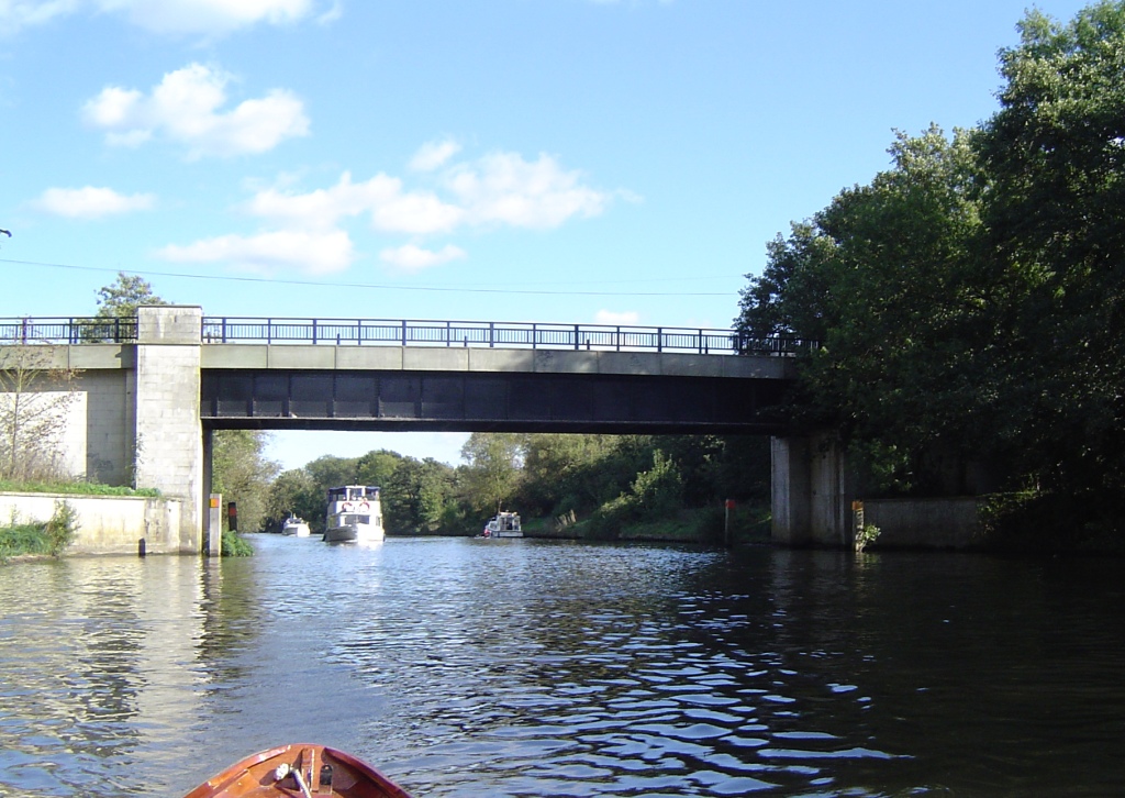
The 3⁄4–mile (1–km) Desborough Cut takes the Thames directly between the brief Weybridge bank to the upper (south) part of the Walton bank — creating Desborough Island between it and the river meanders which front much of Old Shepperton and Lower Halliford in Shepperton.[1] The meanders remain navigable. They are of similar width to the cut.[1] The cut alleviated flooding at Hamm Court and in Shepperton[2] and halves the distance of travel from its start to its finish.
Uses

The island is almost uninhabited: mainly open space, playing fields and water treatment facilities. The island has access over two bridges from Walton Lane; the upper bridge connects a green-buffer part of Weybridge, the other into a similar area of Walton-on-Thames. The parish boundaries are medieval.[3] It covers 112 hectares (277 acres) of which 14 hectares (35 acres) is open space.[4] It is a site of nature conservation importance and is looked after by Elmbridge’s commons management team. The island contains the Walton Water Treatment Works,[5] owned by Affinity Water, and has some sporting facilities. Other parts of its land are owned by the EA, Surrey County and Elmbridge Borough councils. Pleasure boats operate from Walton, making a trip round the island.
The late 2000s decade saw paths re-laid, seating added and hedges relaid to improve plant diversity and provide animal habitats.[6][7]
In film, fiction and the media
The island and surrounding river stood in for the banks of the Mississippi in the 1983 video by Culture Club of its song "Karma Chameleon". [8]
See also
References
- "The Hundred of Spelthorne: Shepperton". Archived from the original on 4 January 2011. Retrieved 23 April 2010.
- Shepperton Rotary Club Archived 2011-10-06 at the Wayback Machine
- "British History Online. The Hundred of Elmbridge: Introduction and map". Retrieved 1 September 2019.
- OS 25-inch-to-mile map of Middlesex of 1912, sheet XXV.9, published 1915.
- "PMZ22, Desborough Island, Walton-on-Thames" (PDF). Surrey County Council. Archived from the original (PDF) on 4 June 2011. Retrieved 7 January 2009.
- Elmbridge Borough Council news
- Habitat renovation
- "Boy George Fever.com: Behind the videos". Retrieved 1 September 2019.
На других языках
[de] Desborough Island
Desborough Island ist eine Insel in der Themse oberhalb des Sunbury Lock in Surrey, England. Die Insel entstand in den 1930er Jahren, als der Desborough Cut durch die Thames Conservancy angelegt wurde. Die Insel und der Kanal sind nach dem damaligen Vorsitzenden der Thames Conservancy Lord Desborough benannt.- [en] Desborough Island
Другой контент может иметь иную лицензию. Перед использованием материалов сайта WikiSort.org внимательно изучите правила лицензирования конкретных элементов наполнения сайта.
WikiSort.org - проект по пересортировке и дополнению контента Википедии