geo.wikisort.org - Insel
Manono ist eine Insel, die zwischen den beiden Hauptinseln Savaiʻi und Upolu des Staates Samoa liegt.
| Manono | ||
|---|---|---|
 | ||
| Gewässer | Pazifischer Ozean | |
| Inselgruppe | Samoainseln | |
| Geographische Lage | 13° 50′ 56″ S, 172° 6′ 36″ W | |
| ||
| Länge | 2,4 km | |
| Breite | 1,5 km | |
| Fläche | 2,9 km² | |
| Höchste Erhebung | Mount Tulimanuiva 110 m | |
| Einwohner | 889 (2006) 307 Einw./km² | |
| Hauptort | Lepuiaʻi | |
 | ||

Geographie
Manono ist 2,4 km lang und maximal 1,5 km breit. Die gesamte Insel wird von einem Korallenriff umschlossen. Die nur 2,9 km² große Insel liegt ca. 3 km von der Westspitze Upolus entfernt und ist durch eine flache Wasserstraße von ihr getrennt. Manono ist sehr flach und hat nur eine leichte Erhebung in ihrer Mitte (den Krater eines erloschenen Vulkans), sie wird deswegen auch Flat Island genannt.
700 m nordwestlich von Manono liegt das kleine unbewohnte Eiland Nuʻulupa, 37 m hoch und mit einem Durchmesser von etwa 100 m.
Administrativ gehört die Insel zum Bezirk Aiga-i-le-Tai.
Bevölkerung
Die Insel hatte 889 Einwohner (2006 Zensus). Diese verteilten sich auf die vier Dörfer Apai (111), Faleu (354), Lepuiaʻi (223) und Salua (201).[1] Es gibt keine Straßen auf der Insel, lediglich ein Fußweg verbindet die Dörfer miteinander.
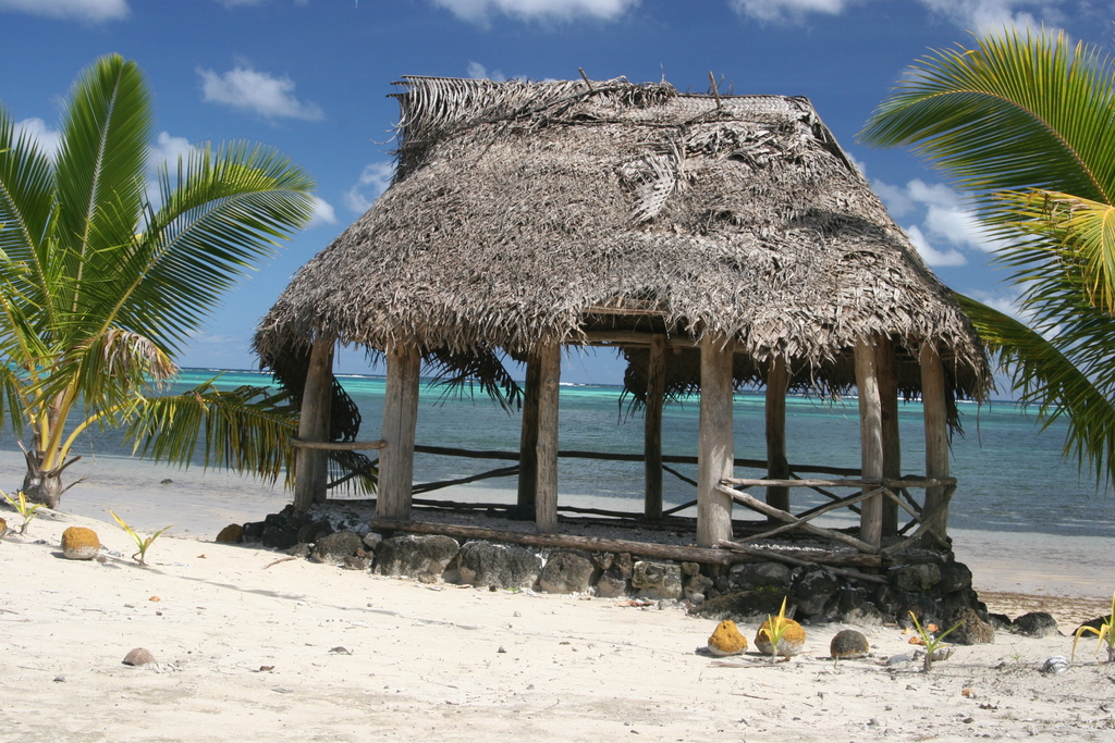
Die Bewohner bauen Taro, Yams, Bananen und Kokosnüsse an. Von geringer Bedeutung ist der Tourismus.
Eine Sage erzählt, dass eine alte Frau von Hunden angefallen und getötet wurde, seitdem sind keine Hunde auf der Insel erlaubt.
Die Insel steht seit 2006 mit ihren beiden Nachbarinseln Apolima und Nuʻulopa auf der Tentativliste Samoas für das UNESCO-Welterbe.
Einzelnachweise
- 2006 Samoa Zensus: Population by region, faipule districts, village, age and sex, 2006. (Memento des Originals vom 21. Juli 2011 im Internet Archive) Info: Der Archivlink wurde automatisch eingesetzt und noch nicht geprüft. Bitte prüfe Original- und Archivlink gemäß Anleitung und entferne dann diesen Hinweis. Government of Samoa. Abgerufen am 4. Januar 2009
Weblinks
На других языках
- [de] Manono
[en] Manono Island
Manono is an island of Samoa, situated in the Apolima Strait between the main islands of Savai'i and Upolu, 3.4 km west-northwest off Lefatu Cape, the westernmost point of Upolu.[es] Isla Manono
Manono es una isla de Samoa, localizada en el estrecho de Apolima, entre las islas principales de Savai'i y Upolu, el punto más al oeste de Upolu. Como las otras islas del estrecho de Apolima, es parte del distrito Aiga-i-le-Tai, que se basa principalmente en Upolu, ocupando su extremo occidental. Manono tiene un área de 3 kilómetros cuadrados. La población es de 773 pobladores (censo 2001) se distribuye entre cuatro aldeas:[fr] Manono (Samoa)
Manono est une île des Samoa située entre Savai'i et Upolu, à l'intérieur du récif corallien de cette dernière. Avec une superficie de seulement 3 km2, elle est considérablement moins grande que ces deux îles.[it] Manono (isola)
Manono è un'isola di Samoa che si trova nello Stretto di Apolima, tra le due isole principali del paese, Upolu e Savai'i.[ru] Маноно
Мано́но (англ. Manono) — один из четырех населенных островов Западного Самоа и входит в округ Аига-и-ле-Таи вместе с островом, одноименном проливу — Аполима. Остров Маноно находится в проливе Аполима. Население Маноно 889 человек (2006) и почти равномерно распределено между четырьмя деревнями:Другой контент может иметь иную лицензию. Перед использованием материалов сайта WikiSort.org внимательно изучите правила лицензирования конкретных элементов наполнения сайта.
WikiSort.org - проект по пересортировке и дополнению контента Википедии