geo.wikisort.org - Coast
Llangrannog (sometimes spelt as Llangranog) is both a village and a community in Ceredigion, Wales, 6 miles (10 km) southwest of New Quay. It lies in the narrow valley of the River Hawen, which falls as a waterfall near the middle of the village. Llangrannog is on the Wales Coast Path.
| Llangrannog | |
|---|---|
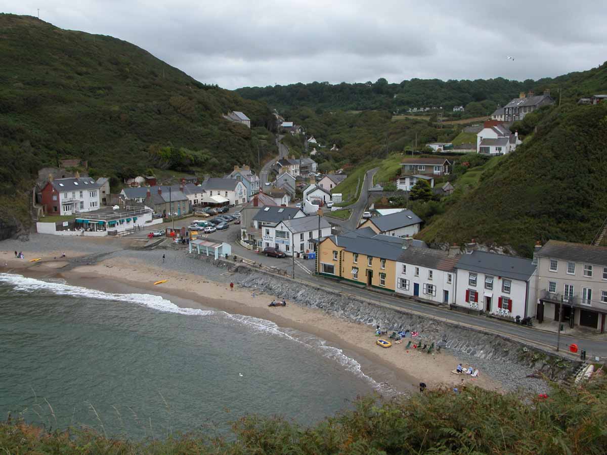 Llangrannog from the west | |
 Llangrannog Location within Ceredigion | |
| Population | 775 (2011)[1] |
| OS grid reference | SN316540 |
| Principal area | |
| Ceremonial county |
|
| Country | Wales |
| Sovereign state | United Kingdom |
| Post town | Blaencelyn |
| Postcode district | SA44 |
| Dialling code | 01239 654 |
| Police | Dyfed-Powys |
| Fire | Mid and West Wales |
| Ambulance | Welsh |
| UK Parliament |
|
| Senedd Cymru – Welsh Parliament |
|

Demographics
Population
According to the 2011 census, Llangrannog's population was 775.[2] This was a 2.6% decrease since the 796 people noted in 2001.[3] It is estimated that Llangrannog's population decreased further to 759 in 2019.[4]
Welsh language
The 2011 census showed 46.5% of the town's population could speak Welsh, a fall from 51.8% in 2001.[5]
Geography
The large rock between Llangrannog and Cilborth Beaches is Carreg Bica, a stack of Ordovician rock weathered by the sea, one of many along the coastline. A large piece of Carreg Bica fell away some years ago. Llangrannog's beach has received Blue Flag beach status.[6] An RNLI lifeguard service is provided. Two streams flow down the beach to the sea - the Hawen and the smaller Nant Eisteddfa. There is a waterfall on the Hawen, known as Y Gerwn. Located within the community is the tiny island of Ynys Lochtyn.
Legend

According to legend, Carreg Bica (trans: Bica's rock)—the large sea-weathered stack of Ordovician rock on the beach—is the tooth of the giant Bica. He lived in Ceredigion and was forced to spit his tooth onto the beach when suffering a bad toothache.[7]
Notable people

- Edward Elgar once spent a holiday in Llangrannog. Welsh artist Christopher Williams visited and painted here. His painting "Holidays - Village Girls at Llangrannog" is in the collection of the National Library of Wales.
- Dylan Thomas visited Llangrannog whilst he was living in New Quay in 1944–45. He came to the Ship Inn with Tommy Herbert, the Aberaeron vet, and with Ira Jones, the World War One fighter ace.[8]
- Sarah Jane Rees was born in Llangrannog and is buried in the church yard. A precocious child, by the age of 15 she had learned navigation from her sea captain father and went on to obtain her Masters Certificate. She taught navigation in a school she founded to help local seamen better themselves. In 1865 she won the crown in the Aberystwyth National Eisteddfod under the bardic name of Cranogwen. She became a popular lay-preacher and eventually gave up school teaching to concentrate on preaching and on establishing the South Wales Women's Temperance Union in 1901 to counter the harm done by alcohol among the working classes.[9]
Sport and leisure
Crannog, Llangrannog's football team, play in the Ceredigion League.
References
- "Community population 2011". Archived from the original on 4 March 2016. Retrieved 13 May 2015.
- "Area: Llangrannog (Parish)". Office for National Statistics. 30 January 2013. Retrieved 8 August 2015.
- Davies, John; Jenkins, Nigel (2008). The Welsh Academy Encyclopaedia of Wales. Cardiff: University of Wales Press. p. 497. ISBN 978-0-7083-1953-6.
- "Llangrannog (Community, United Kingdom) - Population Statistics, Charts, Map and Location". www.citypopulation.de. Retrieved 11 July 2021.
- "2011 Census results by Community". Welsh Language Commissioner. 2015. Retrieved 8 August 2015.[permanent dead link]
- Copyright The Beach Guide. "Llangrannog Beach". UK Beach Guide. Retrieved 25 August 2015.
- "Bica Tooth, Carreg Bica, Llangrannog, Ceredigion, Wales". waymarking.com.
- The Dylan Thomas Trail by D N Thomas, Y Lolfa (2002), pp.123-24
- "Cranogwen". llangrannog.org.uk. Retrieved 25 August 2015.
Welcome to Llangrannog website[1]
Bibliography
- Jenkins, J. Geraint. Llangrannog. Llangrannog Community Council.
- Davies, Mervyn. The Story of Llangrannog.
External links
- grid reference SN316540

Authority control | |
|---|---|
| General | |
| National libraries | |
- "Welcome to Llangrannog". llangrannog.org.uk. Retrieved 25 August 2015.
Другой контент может иметь иную лицензию. Перед использованием материалов сайта WikiSort.org внимательно изучите правила лицензирования конкретных элементов наполнения сайта.
WikiSort.org - проект по пересортировке и дополнению контента Википедии