geo.wikisort.org - Coast
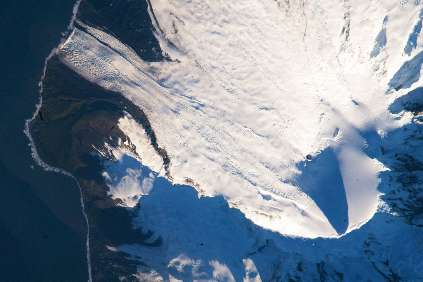
Cape Arkona is a rocky headland between the mouths of Lied Glacier and Gotley Glacier on the southwest side of Heard Island in the southern Indian Ocean. The feature appears to be roughly charted on an 1860 sketch map prepared by Captain H.C. Chester, an American sealer operating in the area during this period. The German frigate Arkona (named after a cape on the north of Rügen) (Captain von Reibnitz) examined the south coast of the island in February 1874 and, in Melbourne, provided the officers of HMS Challenger with a position for the cape which was used in preparation of the Admiralty chart. In so doing, however, the misspelling "Cape Arcona" was used on the British chart.
Map
Heard Island and McDonald Islands, including all major topographical features
References
 This article incorporates public domain material from "Arkona, Cape". Geographic Names Information System. United States Geological Survey.
This subantarctic islands location article is a stub. You can help Wikipedia by expanding it. |
На других языках
[de] Kap Arkona (Heard)
Das Kap Arkona ist eine felsige Landspitze an der Südwestseite der Insel Heard im südlichen Indischen Ozean Es liegt zwischen den Mündungsgebieten des Lied- und des Gotley-Gletschers.- [en] Cape Arkona (Heard Island)
Другой контент может иметь иную лицензию. Перед использованием материалов сайта WikiSort.org внимательно изучите правила лицензирования конкретных элементов наполнения сайта.
WikiSort.org - проект по пересортировке и дополнению контента Википедии