geo.wikisort.org - Река
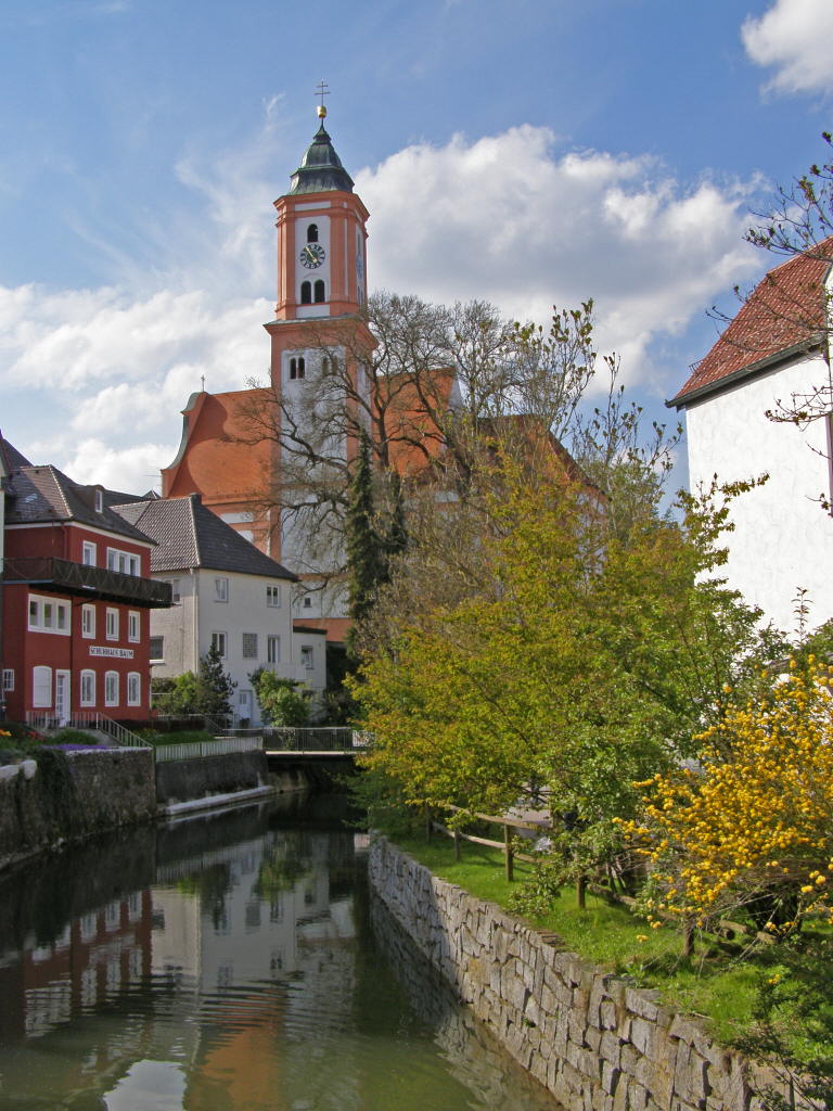
Каммель (нем. Kammel) — река в Германии, протекает по земле Бавария. Левый приток Минделя. Речной индекс 1168[1]. Площадь бассейна реки составляет 260,17 км²[1]. Длина реки 73,98 км[1]. Высота истока 704 м[2]. Высота устья 439 м[3].
| Каммель | |
|---|---|
| нем. Kammel | |
 | |
| Характеристика | |
| Длина | 73,98 км |
| Бассейн | 260,17 км² |
| Водоток | |
| Исток | |
| • Местоположение | Штеттен |
| • Высота | 704 м |
| • Координаты | 47°59′48″ с. ш. 10°24′03″ в. д.HGЯO |
| Устье | Миндель |
| • Местоположение | южнее Оффингена |
| • Высота | 439 м |
| • Координаты | 48°28′13″ с. ш. 10°22′42″ в. д.HGЯO |
| Расположение | |
| Водная система | Миндель → Дунай → Чёрное море |
|
|
|
| Страна |
|
| Регион | Бавария |
| Районы | Нижний Алльгой, Гюнцбург |
|
|
|
|
|
|

Примечания
- Данные о Каммеле на сайте баварского ведомства охраны окружающей среды (2012 год) (нем.). www.lfu.bayern.de. Дата обращения: 28 сентября 2020. Архивировано 28 сентября 2020 года.
- Истоки Каммеля на интерактивной карте Баварии (нем.). geoportal.bayern.de. Дата обращения: 1 ноября 2022.
- Устье Каммеля на интерактивной карте Баварии (нем.). geoportal.bayern.de. Дата обращения: 1 ноября 2022.
На других языках
[de] Kammel
Die Kammel, im Oberlauf (bis Krumbach) auch Kammlach, ist ein rund 57 km langer, linker Nebenfluss der Mindel. Somit ein indirekter rechter Nebenfluss der Donau in Bayern, Deutschland. Der Fluss ist ab der Brücke der Kreisstraße MN 8[3] bei Unterrieden (Gemeinde Oberrieden (Schwaben), Landkreis Unterallgäu) bis zur Mündung in die Mindel bei Offingen ein Gewässer zweiter Ordnung.[en] Kammel
The Kammel is a river in Bavaria, southern Germany. The Kammel originates west of Mindelheim, in the district Unterallgäu, and flows generally north. It flows into the Mindel (left tributary) south of Offingen at the Danube, east of Günzburg in the district Günzburg. So it is an indirect right tributary of the Danube. The difference in altitude between the origin and the mouth is 265 m.[it] Kammel
La Kammel, nel suo corso superiore (fino a Krumbach) detta anche Kammlach, è un fiume tedesco lungo poco più di 57 chilometri; è un affluente della Mindel e quindi, indirettamente, del Danubio.- [ru] Каммель
Текст в блоке "Читать" взят с сайта "Википедия" и доступен по лицензии Creative Commons Attribution-ShareAlike; в отдельных случаях могут действовать дополнительные условия.
Другой контент может иметь иную лицензию. Перед использованием материалов сайта WikiSort.org внимательно изучите правила лицензирования конкретных элементов наполнения сайта.
Другой контент может иметь иную лицензию. Перед использованием материалов сайта WikiSort.org внимательно изучите правила лицензирования конкретных элементов наполнения сайта.
2019-2025
WikiSort.org - проект по пересортировке и дополнению контента Википедии
WikiSort.org - проект по пересортировке и дополнению контента Википедии