geo.wikisort.org - River
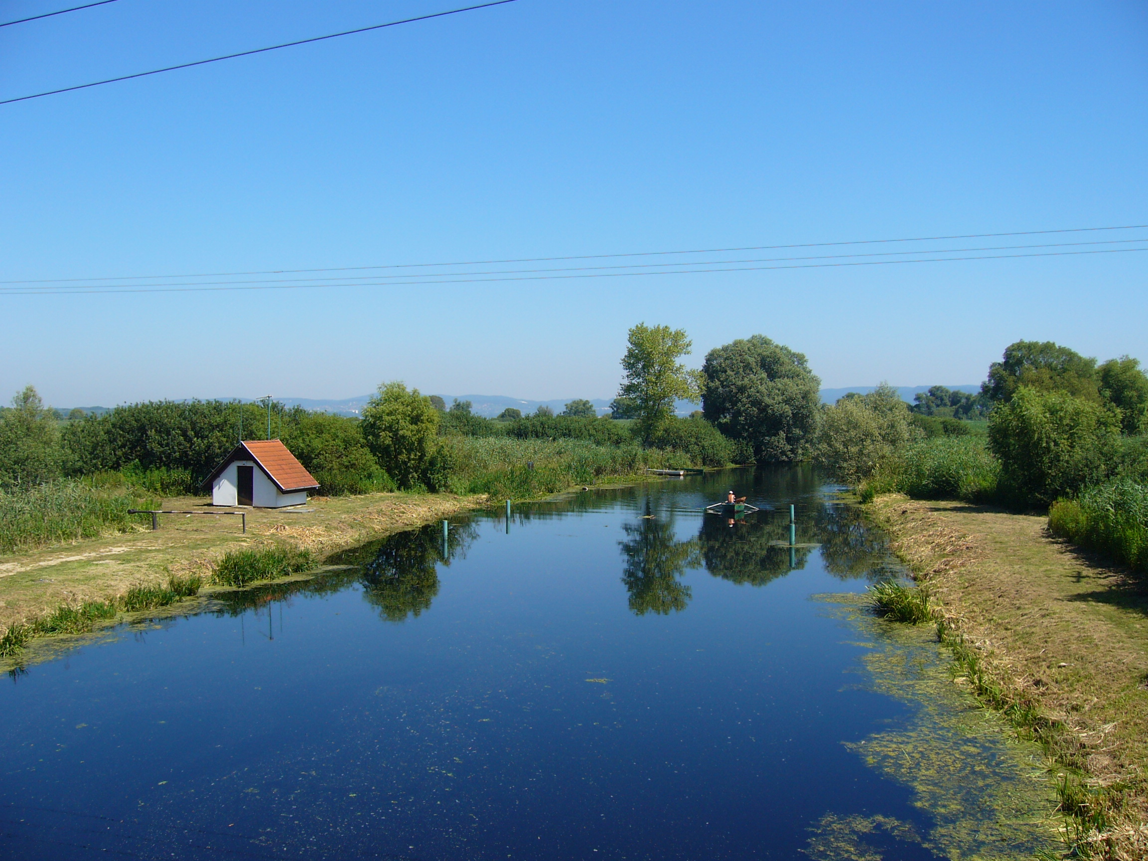
The Zala is a river in south-western Hungary. Its source is in the hills northwest of Szalafő near the borders with Austria and Slovenia. Its length is 139 kilometres (86 mi) and drains water from 2,622 km2 (1,012 sq mi). Several smaller rivers feed into it, including the Felső-Válicka, Szentmihályfalvai patak (brook), Szévíz csatorna (channel), Foglár csatorna on the right bank, and Szentjakabi patak, Sárvíz (Zala) patak, Széplaki patak, Csörgető patak and Nádas patak on the left bank. It flows through the city of Zalaegerszeg before flowing into Lake Balaton near Keszthely. The River Zala flows through the Hungarian counties of Vas and Zala.[1]
This article needs additional citations for verification. (July 2009) |
| Zala | |
|---|---|
 | |
| Location | |
| Country | Hungary |
| Physical characteristics | |
| Source | |
| • location | near Szalafő |
| Mouth | |
• location | Lake Balaton |
• coordinates | 46.7059°N 17.2646°E |
| Length | 139 km (86 mi) |
| Basin size | 2,622 km2 (1,012 sq mi) |
| Basin features | |
| Progression | Lake Balaton→ Sió→ Danube→ Black Sea |

See also
Watermills on Zala River
References
- "ZALA VÍZGYŰJTŐ-GAZDÁLKODÁS TERVEZÉSI ALEGYSÉGEN (4.2.)" (PDF). Retrieved 2011-03-11.
External links
| Wikimedia Commons has media related to Zala River. |
Authority control | |
|---|---|
| General |
|
| National libraries | |
На других языках
[de] Zala (Fluss)
Die Zala (deutsch: Salla) ist ein Fluss im Südwesten Ungarns. Er ist Namensgeber für das Komitat Zala und vieler Orte.- [en] Zala (river)
[it] Zala (fiume)
Lo Zala è un fiume dell'Ungheria occidentale affluente del Lago Balaton, è lungo 138 km.[ru] Зала (река)
За́ла (венг. Zala) — река в юго-западной Венгрии, впадает в озеро Балатон.Текст в блоке "Читать" взят с сайта "Википедия" и доступен по лицензии Creative Commons Attribution-ShareAlike; в отдельных случаях могут действовать дополнительные условия.
Другой контент может иметь иную лицензию. Перед использованием материалов сайта WikiSort.org внимательно изучите правила лицензирования конкретных элементов наполнения сайта.
Другой контент может иметь иную лицензию. Перед использованием материалов сайта WikiSort.org внимательно изучите правила лицензирования конкретных элементов наполнения сайта.
2019-2026
WikiSort.org - проект по пересортировке и дополнению контента Википедии
WikiSort.org - проект по пересортировке и дополнению контента Википедии