geo.wikisort.org - River
The Yeropol (Russian: Еропол) is a river in Chukotka Autonomous Okrug, Russia. It has a length of 261 kilometres (162 mi) and a drainage basin of 10,700 square kilometres (4,100 sq mi).[2]
| Yeropol Еропол | |
|---|---|
 Mouth location in Chukotka, Russia | |
| Location | |
| Country | Russia |
| Federal subject | Chukotka Autonomous Okrug |
| District | Anadyrsky District |
| Physical characteristics | |
| Source | |
| • location | Oloy Range Kolyma Mountains |
| • coordinates | 64°50′57″N 165°22′42″E |
| • elevation | 618 m (2,028 ft) |
| Mouth | Anadyr |
• coordinates | 65°15′09″N 168°37′37″E[1] |
• elevation | 148 m (486 ft) |
| Length | 261 km (162 mi) |
| Basin size | 10,700 km2 (4,100 sq mi) |
| Basin features | |
| Progression | Anadyr→ Bering Sea |
The Yeropol is a right tributary of the Anadyr and its basin is in a mountainous area of Chukotka. The village of Chuvanskoye is located in the middle course of the river.[3] The name of the river originated in the Yukaghir language.[4]
History
The Yeropol river was known to Russian explorers since the 17th century.[5]
In 1984 two archeological sites were discovered in the upper reaches of the Yeropol. There are remains of different eras, ranging from the Mesolithic to the Neolithic.[6]
Course
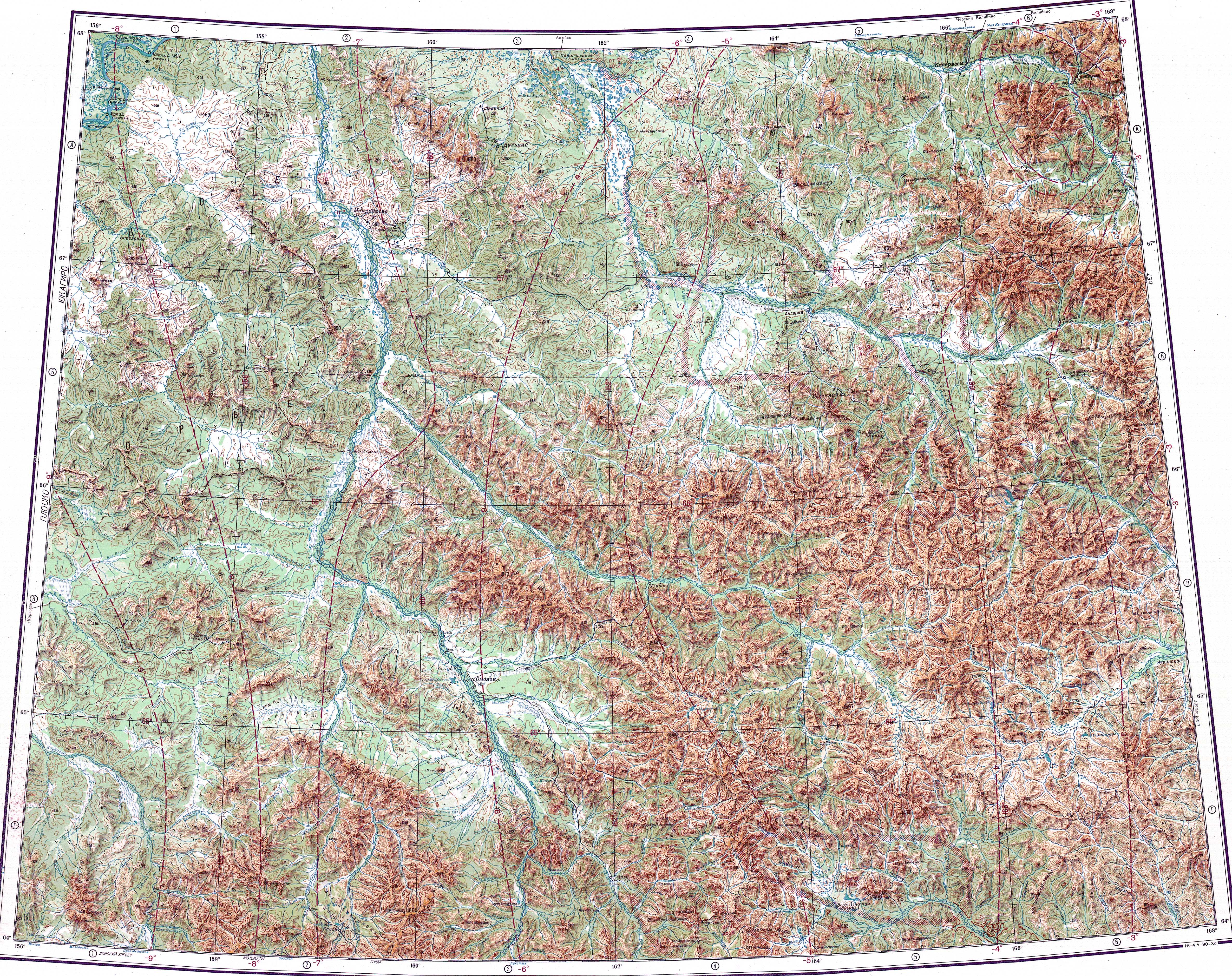
The source of the Yeropol is in the eastern section of the Oloy Range, 60 km (37 mi) to the south of 1,787 m (5,863 ft) high Mount Snezhnaya. The river heads first southeastwards in its upper course, then it bends and flows in a steady ENE direction until its mouth. In its last stretch it enters a plain bound by mountains on both sides, where it divides into multiple branches. Finally it joins the right bank of the Anadyr a little downstream from the mouth of the Yablon, 740 kilometres (460 mi) from its mouth.[1]
The main tributaries of the Yeropol are the 102 kilometres (63 mi) long Umkuveyem and 85 kilometres (53 mi) long Atakhayevskaya from the left.[2] The river and its tributaries are frozen for between eight and nine months every year.[4]
See also
References
- Google Earth
- "Река Еропол (в верховье Ерополькрыткын) in the State Water Register of Russia". textual.ru (in Russian).
- "Топографска карта Q-57_58 - Topographic USSR Chart (in Russian)". Retrieved 4 March 2022.
- "Water of Russia - Анадырь". water-rf.ru. Retrieved 7 March 2022.
- Leontiev V.V., Novikova K.A. Toponymic dictionary of the North-East of the USSR / scientific. ed. G. A. Menovshchikov ; FEB AS USSR . North-East complex. Research Institute. Lab. archeology, history and ethnography. - Magadan: Magadan . book. publishing house , 1989. - p. 140. — ISBN 5-7581-0044-7
- М.А. Кирьяк (1986). Работы Западночукотского отряда (Археологические открытия 1984 года ed.). Москва. p. 178.
External links
This Chukotka Autonomous Okrug location article is a stub. You can help Wikipedia by expanding it. |
This article related to a river in Russia is a stub. You can help Wikipedia by expanding it. |
На других языках
- [en] Yeropol
[it] Eropol
L'Eropol (in russo: Еропол?), che nella parte superiore si chiama Eropol'krytkyn, è un fiume della Russia estremo-orientale, affluente di destra dell'Anadyr'. Scorre nell'Anadyrskij rajon della Čukotka.[ru] Еропол
Еропол (в верховье Ерополькрыткын) — река на Дальнем Востоке России, один из основных притоков реки Анадырь, протекает по территории Анадырского района Чукотского автономного округа.Другой контент может иметь иную лицензию. Перед использованием материалов сайта WikiSort.org внимательно изучите правила лицензирования конкретных элементов наполнения сайта.
WikiSort.org - проект по пересортировке и дополнению контента Википедии