geo.wikisort.org - River
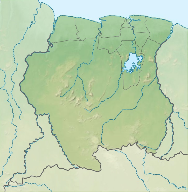
The Wayambo River (also: Wayombo[1]) is a river of Suriname. The river is part of an inland waterway connecting the harbour of Nieuw-Nickerie with Paramaribo.[2]
| Wayambo | |
|---|---|
 The Wayambo River connecting the Nickerie with the Coppename River | |
 | |
| Physical characteristics | |
| Source | |
| • location | Boven Wayambo |
| • coordinates | 5.32285°N 56.39485°W |
| Mouth | |
• location | Nickerie and Coppename River |
• coordinates | 5.33611°N 56.45780°W 5.4330°N 56.0359°W |
The river forms a natural bifurcation:[3] at the source, the water can flow westwards to the Nickerie River and onto the Atlantic Ocean, or it can flow eastwards to the Coppename River also onto the Atlantic Ocean. The Arawarasluis, a lock, has been constructed to increase the flow into Nickerie which is used for irrigation of rice fields.[4]
The indigenous villages of Corneliskondre and Donderskamp are located on the Wayambo River.[5]
References
- "Bezoek aan een dorp aan de Tittiebo-kreek te Wayombo, Théodore van Lelyveld, 1895". Rijksmuseum (in Dutch). Retrieved 15 February 2021.
- "District Nickerie". Suriname.nu (in Dutch). Retrieved 15 February 2021.
- "Wayambo". Surinamazing (in Dutch). Retrieved 15 February 2021.
- "Arawarasluis van groot belang voor rijstsector". Dagblad Suriname (in Dutch). Retrieved 15 February 2021.
- "Nading wil oplossing indringende issues binnenland". Star Nieuws (in Dutch). Retrieved 15 February 2021.
Текст в блоке "Читать" взят с сайта "Википедия" и доступен по лицензии Creative Commons Attribution-ShareAlike; в отдельных случаях могут действовать дополнительные условия.
Другой контент может иметь иную лицензию. Перед использованием материалов сайта WikiSort.org внимательно изучите правила лицензирования конкретных элементов наполнения сайта.
Другой контент может иметь иную лицензию. Перед использованием материалов сайта WikiSort.org внимательно изучите правила лицензирования конкретных элементов наполнения сайта.
2019-2026
WikiSort.org - проект по пересортировке и дополнению контента Википедии
WikiSort.org - проект по пересортировке и дополнению контента Википедии