geo.wikisort.org - River
The Nickerie River is a river in the northwestern part of Suriname.
| Nickerie River | |
|---|---|
 Bridge near Groot Henar | |
 | |
| Location | |
| Country | Suriname |
| District | Nickerie District |
| Physical characteristics | |
| Source | |
| • location | Bakhuis Mountains |
| • coordinates | 4.2790°N 56.9693°W |
| Mouth | Atlantic Ocean |
• coordinates | 5°58′10″N 57°00′56″W |
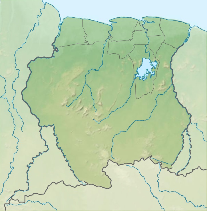
The river originates in the Bakhuis Mountains and then flows to the North where it forms part of the border between the Coronie and Nickerie districts. The river then turns West and flows into the Atlantic Ocean via Wageningen and Nieuw-Nickerie. The Blanche Marie Falls are located on the river.
There is a bridge near Groot Henar that is part of the Northern East-West Link.[1] Another, more basic bailey bridge was built near Kamp 52 on the Southern East-West Link.[2]
References
- Nickerie article from the Dutch Wikipedia, version on 22 April 2006
| Authority control |
|
|---|
На других языках
[de] Nickerie (Fluss)
Der Nickerie ist ein etwa 435 km langer Zufluss des Atlantischen Ozeans im Nordwesten von Suriname in den Distrikten Sipaliwini, Coronie und Nickerie.- [en] Nickerie River
[es] Río Nickerie
El río Nickerie es un río que fluye en la parte noroeste de Surinam que nace en las montes Bakhuis y luego fluye hacia el norte, donde forma parte de la frontera entre los distritos de Coronie y Nickerie. Posteriormente el río gira hacia el oeste y desemboca en el océano Atlántico a través de Wageningen y Nieuw Nickerie.[ru] Никкери (река)
Никкери (нидерл. Nickerie) — река в северо-западной части Суринама, в округах Сипаливини и Никкери.Текст в блоке "Читать" взят с сайта "Википедия" и доступен по лицензии Creative Commons Attribution-ShareAlike; в отдельных случаях могут действовать дополнительные условия.
Другой контент может иметь иную лицензию. Перед использованием материалов сайта WikiSort.org внимательно изучите правила лицензирования конкретных элементов наполнения сайта.
Другой контент может иметь иную лицензию. Перед использованием материалов сайта WikiSort.org внимательно изучите правила лицензирования конкретных элементов наполнения сайта.
2019-2026
WikiSort.org - проект по пересортировке и дополнению контента Википедии
WikiSort.org - проект по пересортировке и дополнению контента Википедии