geo.wikisort.org - River
The Urzhar (Kazakh: Уржар) is a river in the Abai Region, Kazakhstan.[1] It has a length of 206 km (128 mi) and a drainage basin of 5,280 km2 (2,040 sq mi).[2]
| Urzhar Уржар | |
|---|---|
 Last stretch and mouth of the Urzhar river Sentinel-2 image. | |
 Mouth location in Kazakhstan | |
| Location | |
| Country | Kazakhstan |
| Physical characteristics | |
| Source | Tarbagatai Range |
| • coordinates | 47°23′22″N 81°30′52″E |
| • elevation | 2,040 m (6,690 ft) |
| Mouth | Balkhash-Alakol Basin |
• location | Lake Alakol |
• coordinates | 46°28′0″N 81°33′08″E |
• elevation | 348 m (1,142 ft) |
| Length | 206 km (128 mi) |
| Basin size | 5,280 km2 (2,040 sq mi) |
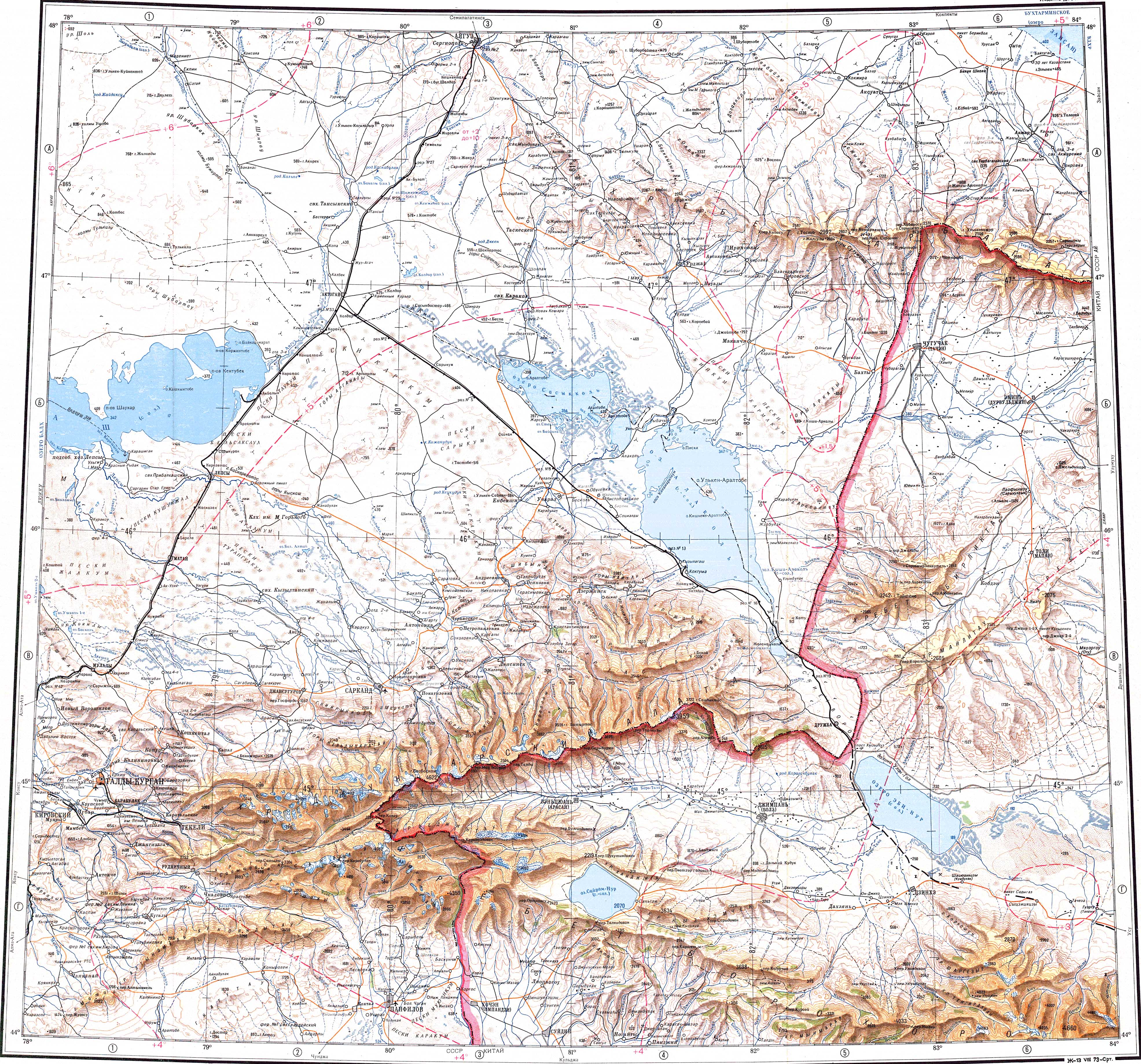
The river flows across Urzhar village, the administrative center of Urzhar District. It is one of the three most important rivers flowing into Alakol lake. Its waters are used to irrigate crops and pasture areas.[3]
Course
The Urzhar originates in the southern slopes of the western part of the Tarbagatai Range. It heads roughly southwards all along its course. In its upper section it flows as a typical mountain river within a narrow and deep valley with frequent rapids. After leaving the mountain area it enters the wide Balkhash-Alakol Basin and passes through the village of Urzhar. The speed of its current slows down, its channel widens and forms meanders. Further downstream it divides into arms. Finally it reaches the northern lakeshore of lake Alakol near Kamyskala, former Ribachy village.
The river is fed partly by snow and partly by groundwater. Its main tributaries are rivers Bazarka, Kusak and Karagaila on the left, and Eginsu on the right.[2][3]
See also
References
- "L-44 Topographic Chart (in Russian)". Retrieved 25 September 2022.
- Google Earth
- Kazakhstan National Encyclopedia, vol. 9 / Ch. ed. B.O. Jakyp. — Almaty: « Kazakh encyclopedia» ZhSS, 2011. ISBN 9965-893-64-0(T.Z.), ISBN 9965-893-19-5
External links
| Rivers |
|
|---|---|
На других языках
- [en] Urzhar (river)
[ru] Урджар (река)
Урджар[1] (Уржар[2]) — одна из трёх основных рек бассейна озера Алаколь. Протекает по территории Абайской области Казахстана. Протяжённость реки составляет 206 км, площадь водосбора — 5280 км².[2]Другой контент может иметь иную лицензию. Перед использованием материалов сайта WikiSort.org внимательно изучите правила лицензирования конкретных элементов наполнения сайта.
WikiSort.org - проект по пересортировке и дополнению контента Википедии