geo.wikisort.org - River
The Taieri River is the fourth-longest river in New Zealand and is in Otago in the South Island.[1] Rising in the Lammerlaw Range, it initially flows north, then east around the Rock and Pillar range before turning southeast, reaching the sea 30 kilometres (19 mi) south of Dunedin.

| Taieri River | |
|---|---|
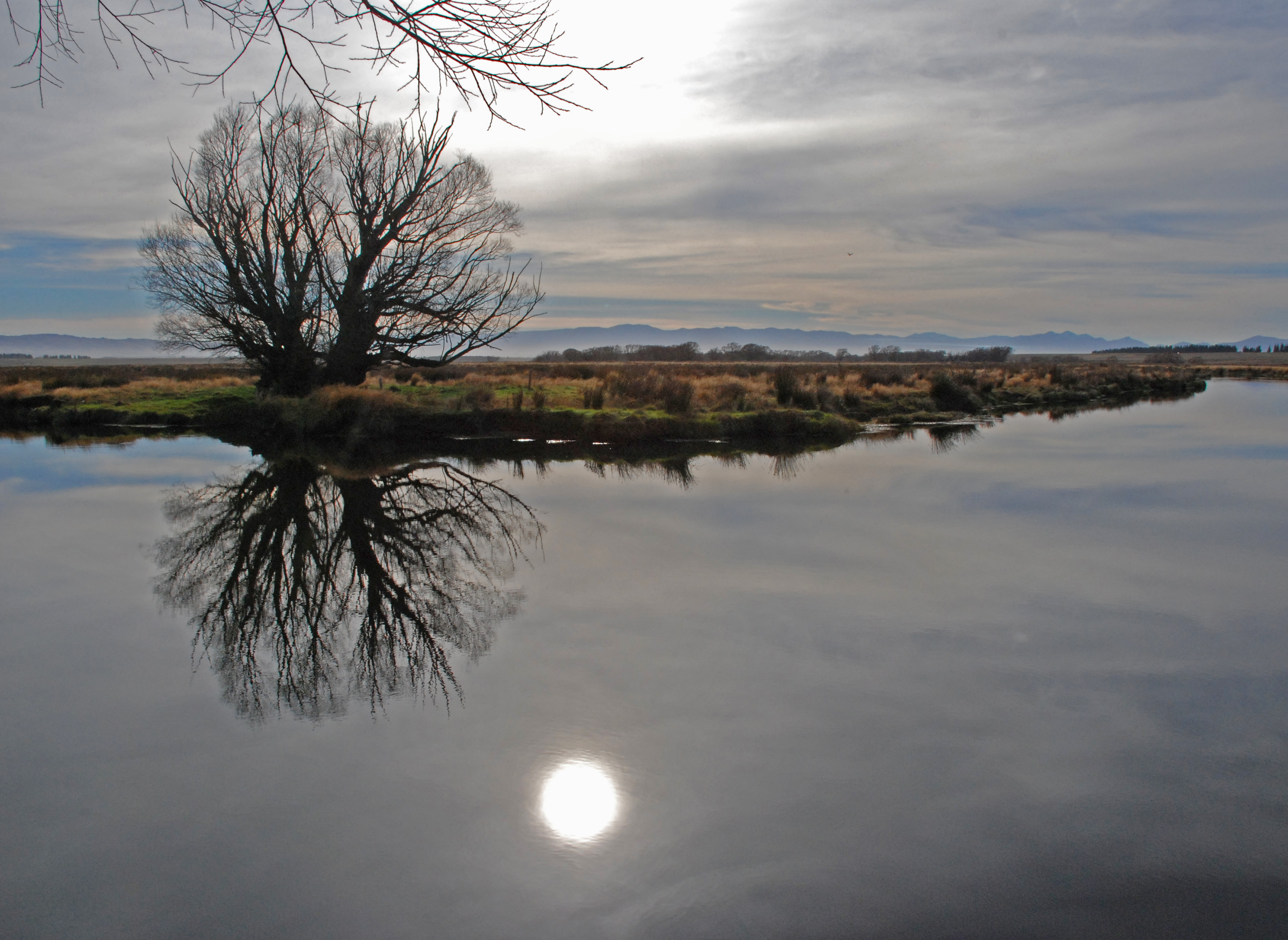 The Taieri River at Cogans, Otago | |
 | |
| Location | |
| Country | New Zealand |
| Physical characteristics | |
| Source | |
| • location | Lammerlaw Range |
| Mouth | |
• location | Pacific Ocean |
• elevation | 0 m (0 ft) |
| Length | 288 km (179 mi) |

The upper reaches meander in a series of convoluted loops across a floodplain above Paerau, close to the aptly named locality of Serpentine; the river has created many small oxbow lakes in this area, some of which have been converted into water meadows. From here the river runs through two small hydroelectric power stations before reaching Patearoa in the Maniototo. The Taieri then arcs through almost 180 degrees, entering a broad glacial valley (the Strath-Taieri) surrounded by rugged hill ranges. Immediately downstream the river has cut a steep-sided declivity, the Taieri Gorge. This is known for the Taieri Gorge Railway, which follows a route into Central Otago through it. In the Taieri's lower reaches there is a broad floodplain (the Taieri Plains) containing much of Otago's most fertile farmland. The river then flows through the lower Taieri Gorge to the Pacific Ocean at Taieri Mouth. Taieri Island lies in the Pacific Ocean several hundred metres from the mouth of the river.[2]
The Taieri is 288 kilometres (179 mi) long, of which the last 20 kilometres (12 mi) are navigable. Towns along the river include Middlemarch, Outram, Allanton, Mosgiel, Henley, and Taieri Mouth. Its major tributary is the Waipori River, which meets the Taieri near Henley on the Taieri Plains. Google Maps erroneously shows the stretch of the river from the confluence to the mouth as Waipori River.[3] The correct name is shown on the New Zealand government's official NZ Topo Map.[4]
There are several possible conjectured derivations for the name Taieri. It may derive from Tai-ari, “to smash or pound up, to pulp”.,[5] though some sources suggest that not may come from the Māori word taiari meaning "spring tide" or "shining water".[6] A further possibility is that it refers to the makotaieri, an edible shark once regarded as a delicacy along the Otago coast.[7] It may be, however, that the shark took its name from the river rather than vice versa.
References
- The Swim Guide
- Taieri River flows over weekend exceeded 1980 flood New Zealand Herald Retrieved 28 July 2017
- "Google Maps".
- "New Zealand Topographic Map - NZ Topo Map".
- teara.govt.nz/en/1966/taieri-river
- Reed, A.W., (1975). Place names of New Zealand. Wellington: A.H. & A.W. Reed. p. 396
- Goodall, Maarire, and Griffiths, George J., (1980). Maori Dunedin. Dunedin: Otago Heritage Books. ISBN 0-908774-45-1. p. 49.
External links
- Taieri River at Te Ara - The Encyclopedia of New Zealand
| Authority control |
|
|---|
На других языках
[de] Taieri River
Der Taieri River ist ein Fluss in der Region Otago auf der Südinsel von Neuseeland.- [en] Taieri River
[ru] Таиери
Таиери (англ. Taieri River) — четвёртая по длине река Новой Зеландии. Протекает по региону Отаго на острове Южный.Другой контент может иметь иную лицензию. Перед использованием материалов сайта WikiSort.org внимательно изучите правила лицензирования конкретных элементов наполнения сайта.
WikiSort.org - проект по пересортировке и дополнению контента Википедии