geo.wikisort.org - River
The Sym (Russian: Сым) is a left, western tributary of the Yenisey in Krasnoyarsk Krai, Russia. It is 694 kilometres (431 mi) long, and has a drainage basin of 31,600 square kilometres (12,200 sq mi).[1] It is navigable about 265 km (165 mi) upstream from its mouth.[2]
| Sym Сым | |
|---|---|
 View of the river | |
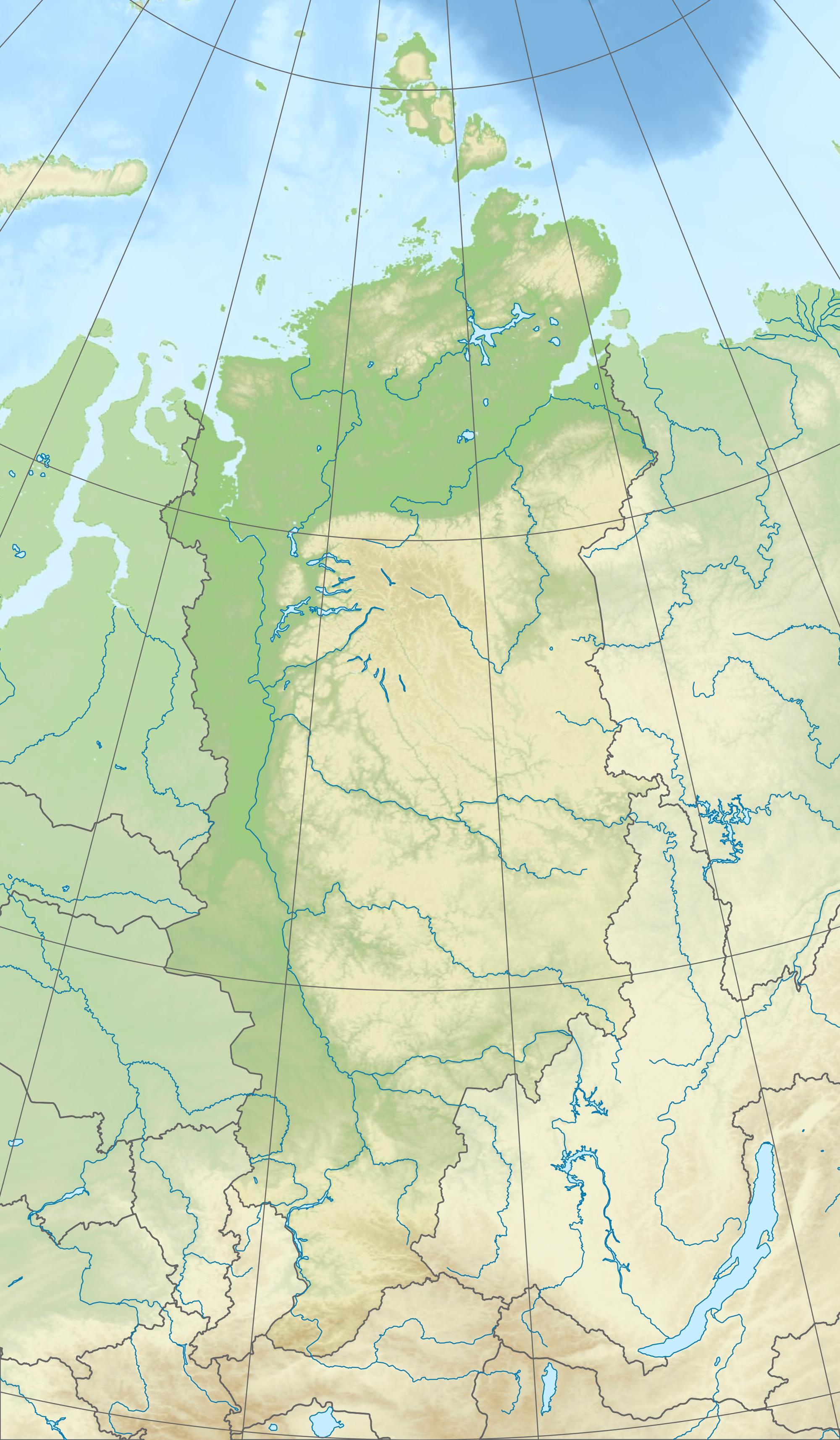 Mouth location in Krasnoyarsk Krai, Russia | |
| Location | |
| Turukhan District, Krasnoyarsk Krai, Russia | |
| Physical characteristics | |
| Source | |
| • location | West Siberian Plain swamps |
| • coordinates | 61°25′54″N 86°1′4″E |
| • elevation | 180 m (590 ft) |
| Mouth | Yenisey |
• coordinates | 60°17′29″N 90°6′0″E |
• elevation | 43 m (141 ft) |
| Length | 694 km (431 mi) |
| Basin size | 31,600 km2 (12,200 sq mi) |
| Basin features | |
| Progression | Yenisey→ Kara Sea |
Course
The Sym begins at a height of 180 m (590 ft) in a swampy area of the West Siberian Plain. It flows roughly southeastwards across flat and often boggy areas, forming increasingly wide meanders. About 50 kilometres (31 mi) before the mouth it bends and flows in a roughly ENE direction, finally joining the left bank of the Yenisey between Yarzevo and Krivlyak.[2]
The river freezes in October or early November and stays frozen until May. Its main tributaries are the Alsym, Kukocha, Oksym and Kolchum from the right and the Kidenches from the left. The settlement of Maiskoye is by the Kolchum.[2]
History
Historically the Sym was first reached by Ket serving men in 1605, while a detachment from Mangazeya ascended the Yenisei to its confluence with the Sym in 1610.[3]
 |
See also
- List of rivers of Russia
- Ket River
References
- "Река Сым (Прав. Сым) in the State Water Register of Russia". textual.ru (in Russian).
- Сым, Great Soviet Encyclopedia
- Fisher, Raymond Henry (1943). The Russian Fur Trade, 1550-1700. University of California Press.
External links
 Media related to Sym River at Wikimedia Commons
This Krasnoyarsk Krai location article is a stub. You can help Wikipedia by expanding it. |
This article related to a river in Russia is a stub. You can help Wikipedia by expanding it. |
На других языках
[de] Sym
Der Sym (russisch Сым) ist ein 694 Kilometer (mit Quellfluss Prawy Sym) langer linker Nebenfluss des Jenissei am Ostrand des Westsibirischen Tieflands in Russland.- [en] Sym (river)
[es] Río Sym
El río Sym (en ruso: Сым) es un río asiático del norte de la Siberia rusa, un afluente del curso inferior del río Yeniséi. Su longitud total es 694 km y su cuenca drena una superficie de 31.600 km² (mayor que países como Bélgica).[it] Sym (fiume)
Il Sym è un fiume della Russia siberiana nordoccidentale (Kraj di Krasnojarsk), affluente di sinistra dello Enisej.[ru] Сым
Сым (в верховье Правый Сым) — река в Красноярском крае России, левый приток Енисея.Другой контент может иметь иную лицензию. Перед использованием материалов сайта WikiSort.org внимательно изучите правила лицензирования конкретных элементов наполнения сайта.
WikiSort.org - проект по пересортировке и дополнению контента Википедии