geo.wikisort.org - River
The Siligir (Russian: Силигир; Yakut: Силигир) is a river in Yakutia (Sakha Republic), Russia. It is the largest right tributary of the Olenyok with a length of 220 kilometres (140 mi) —344 kilometres (214 mi) long counting the Orto-Siligir stretch of its upper course. Its drainage basin area is 13,400 square kilometres (5,200 sq mi).[1]
| Siligir Силигир | |
|---|---|
 Olenyok basin with the Siligir in the lower part. | |
 Mouth location in Yakutia, Russia  Siligir (Russia) | |
| Location | |
| Country | Russia |
| Physical characteristics | |
| Source | |
| • location | Central Siberian Plateau |
| • coordinates | 67°06′44″N 113°05′44″E |
| • elevation | 218 m (715 ft) |
| Mouth | Olenyok |
• coordinates | 68°21′20″N 114°56′16″E |
• elevation | 87 m (285 ft) |
| Length | 220 km (140 mi) (344 km (214 mi)) |
| Basin size | 13,400 km2 (5,200 sq mi) |
| Discharge | |
| • average | 70 m3/s (2,500 cu ft/s) |
| Basin features | |
| Progression | Olenyok→Laptev Sea |
The river flows just north of the Arctic Circle across a lonely, desolate area of Olenyoksky District devoid of settlements.[2] There are very large bitumen deposits along the Siligir basin.[3][4]
Course
The Siligir is formed in the Central Siberian Plateau at the confluence of the 124 km (77 mi) long Orto-Siligir (Орто-Силигир) and the 100 km (62 mi) long Usuk-Siligir (Усук-Силигир).[1] The river flows initially northwards, bending to the NNE after a stretch, and then to the northeast.[5] Finally it bends again to the north and meets the right bank of the Olenyok 1,351 km (839 mi) from its mouth. The confluence is downstream of Olenyok village, one of the few inhabited localities of the area.[6] The river is frozen between early October and the second half of May.[7]
Tributaries
The Siligir has some very large tributaries, such as the 169 km (105 mi) long Onnyoo-Siligir (Russian: Онньоо-Силигир; Yakut: Өнньүө Силигир) and the 128 km (80 mi) long Siligirkeen (Силигиркээн), both from the left.[5][1]
Fauna
The main fish species found in the waters of the Siligir are lenok, taimen, grayling, pike and perch. In some stretches there are whitefish and nelma.[8]
See also
- List of rivers of Russia
- Oil sands
References
- "Река Силигир in the State Water Register of Russia". textual.ru (in Russian).
- Силигир / Great Soviet Encyclopedia: in 30 vols. / Ch. ed. A.M. Prokhorov. - 3rd ed. - M. Soviet Encyclopedia, 1969-1978
- East Siberian Bitumen Deposits
- R A French, Alan Wood, Christian R. Thauer, Helen Routledge. The Development of Siberia: People and Resources, p. 243
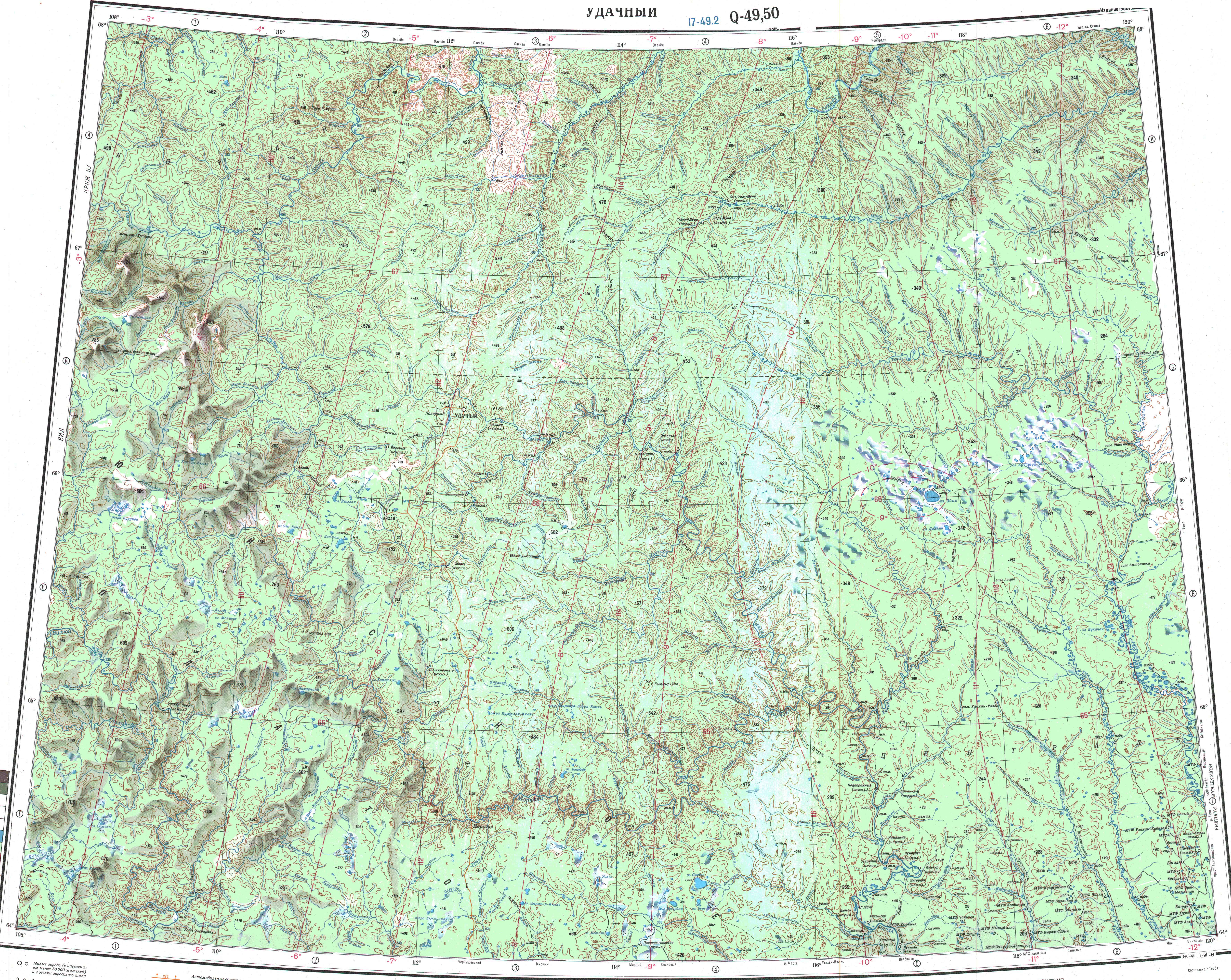
- "Топографска карта Q-49 50; M 1:1 000 000 - Topographic USSR Chart (in Russian)". Retrieved 29 April 2022.
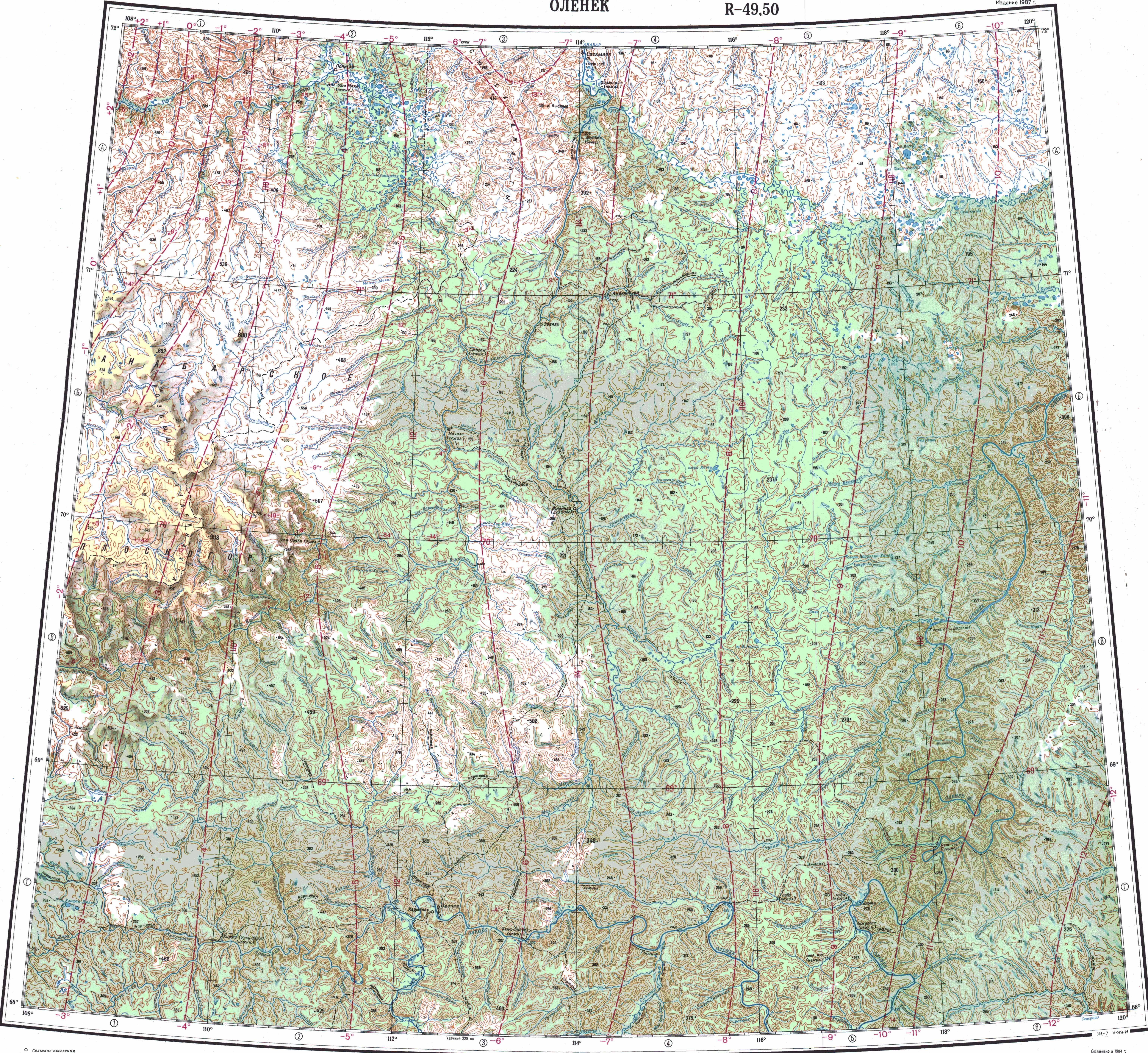
- "Топографска карта R-49 50; M 1:1 000 000 - Topographic USSR Chart (in Russian)". Retrieved 29 April 2022.
- nature.ykt.ru (Силигир)
- Fishing trip on Siligir and Olenyok
External links
- Рыбалка май 2019 река Силигир ( Fishing in the Siligir river Part 1)
- Fishing & Tourism in Yakutia
- Map of the sedimentary basins of the Siberian platform, Russia. Main heavy-oil and bitumen deposit locations
На других языках
- [en] Siligir
[it] Siligir
Il Siligir (in russo: Силигир?) è un fiume della Russia asiatica, affluente di destra dell'Olenëk, che scorre nella parte settentrionale della Siberia Orientale, nella Sacha (Jacuzia).[ru] Силигир
Силигир — река в Якутии, правый приток реки Оленёк. Протекает по северо-восточной окраине Среднесибирского плоскогорья. Длина реки — 220 км[2], (вместе с притоком Орто-Силигир 344 км), площадь водосборного бассейна — 13 400 км²[2][3]. Среднегодовой расход воды около 70 м³/с[3].Другой контент может иметь иную лицензию. Перед использованием материалов сайта WikiSort.org внимательно изучите правила лицензирования конкретных элементов наполнения сайта.
WikiSort.org - проект по пересортировке и дополнению контента Википедии