geo.wikisort.org - River
The Severn River is a river in northern Ontario. The northern Ontario river has its headwaters near the western border of the province. From the head of the Black Birch River, the Severn River is 982 km (610 mi) long and its drainage basin area is 102,800 km2 (39,700 sq mi),[1] a small portion of which is in Manitoba. Its source is Deer Lake and flows northeasterly into Severn Lake, then by a second section to Hudson Bay where it ends at Fort Severn.
| Severn River | |
|---|---|
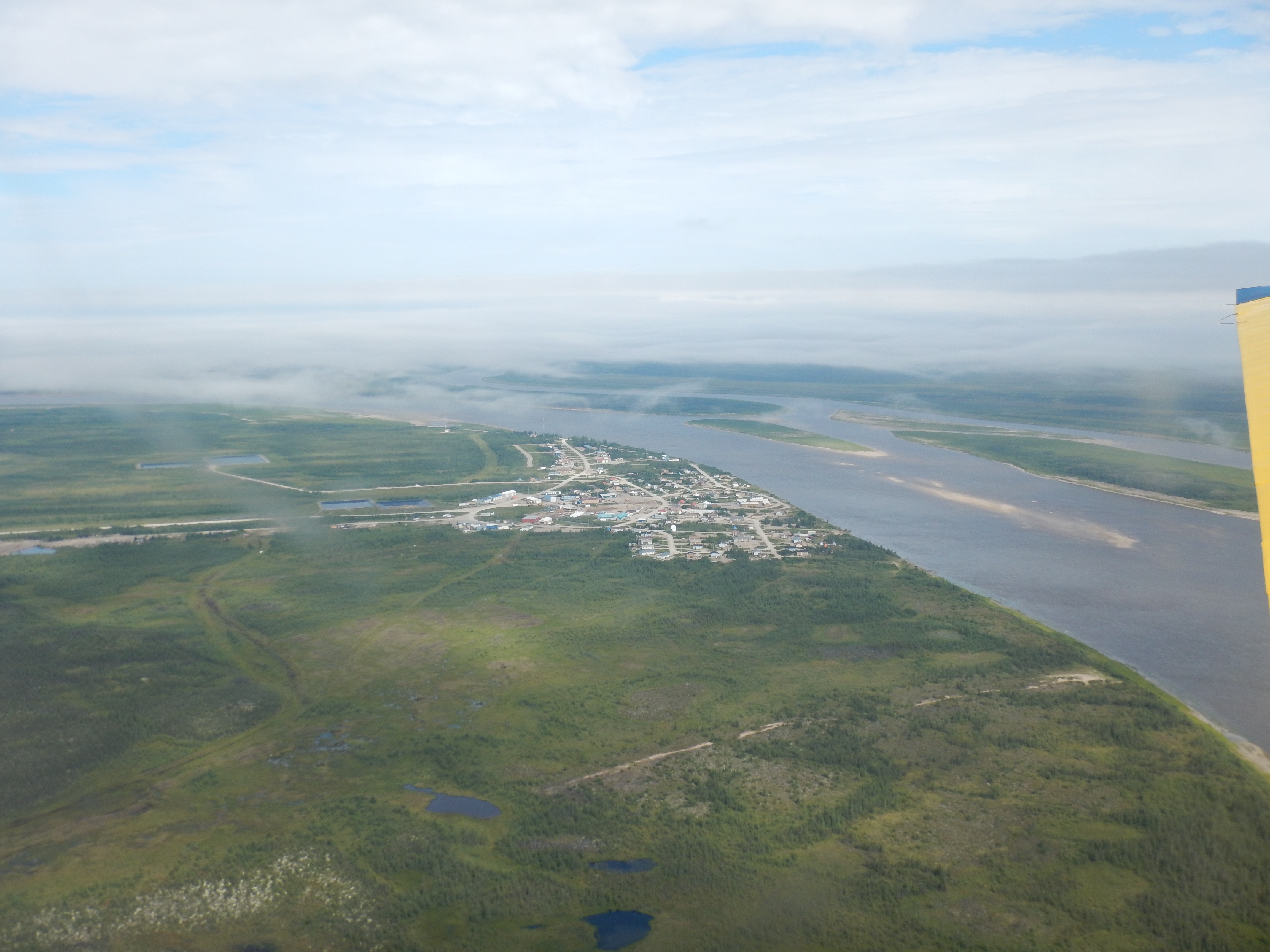 Severn River near its mouth at Fort Severn | |
 Location of the mouth of Severn River in Ontario | |
| Location | |
| Country | Canada |
| Province | Ontario |
| Physical characteristics | |
| Source | Deer Lake |
| • location | Deer Lake, Kenora District |
| • coordinates | 52°40′N 94°25′W |
| • elevation | 310 m (1,020 ft) |
| Mouth | Hudson Bay |
• location | Fort Severn |
• coordinates | 55°59′N 87°38′W |
| Length | 982 km (610 mi) |
| Basin size | 102,800 km2 (39,700 sq mi) |
| Basin features | |
| River system | Hudson Bay drainage basin |
The First Nation communities of Sandy Lake, Bearskin Lake, and Fort Severn are located along the river. These were formed at the sites of former trading posts built when the Severn River was a prominent river during the fur trade era.
Located at the mouth of the river, Fort Severn was established as a trading post in 1689 by the Hudson's Bay Company. It was captured by Pierre le Moyne, sieur d'Iberville in 1690. The post, rebuilt in 1759, has been in continuous operation to this day making this community one of the oldest European settlements in Ontario.
At its source on Deer Lake is the small community of Deer Lake, Ontario.
Tributaries
Tributaries of the northern Severn River include:
- McInness River
- Cobham River (source in Manitoba)
- Windigo River
- Makoop River
- Blackbear River
- Sachigo River
- Wapaseese River
- Beaver Stone River
- Fawn River
- Beaver River
See also
- List of longest rivers of Canada
- List of Ontario rivers
References
This article related to a river in Northern Ontario, Canada is a stub. You can help Wikipedia by expanding it. |
На других языках
[de] Severn River (Hudson Bay)
Der Severn River ist ein Fluss im nördlichen Ontario in Kanada.- [en] Severn River (Hudson Bay)
[it] Severn (fiume Canada)
Il Severn è un fiume che scorre nella parte settentrionale della provincia canadese dell'Ontario. Nasce vicino al confine con la provincia del Manitoba nella quale sconfina per un breve ed iniziale tratto. Dopo un lungo percorso si getta nella Baia di Hudson.[ru] Северн (река, впадает в Гудзонов залив)
Се́верн[1] (англ. Severn) — река в Канаде, в провинции Онтарио и Манитоба. Начинается на Лаврентийской возвышенности на территории Онтарио и течёт первоначально на запад, заходит на территорию Манитобы и почти сразу же поворачивает в обратном направлении, возвращается на территорию Онтарио, где плавно сворачивает на северо-восток и течёт практически параллельно границе Манитобы и Онтарио до впадения в Гудзонов залив возле Форт-Северн под 56° с. ш. По своему течению Северн пересекает ряд озёр: Дир-Лейк, Санди-Лейк, Северн и другие. Река имеет пороги в верхнем течении. Ледостав с ноября по май. Половодье — летнее[2]. Бассейн реки составляет 101 тысячу км², причем на территорию провинции Манитоба приходится лишь незначительная часть.Другой контент может иметь иную лицензию. Перед использованием материалов сайта WikiSort.org внимательно изучите правила лицензирования конкретных элементов наполнения сайта.
WikiSort.org - проект по пересортировке и дополнению контента Википедии