geo.wikisort.org - River
The Rouvre is a river in Normandy, in the Orne département, a tributary of the river Orne. It is 45.7 km (28.4 mi) long.[1]
| Rouvre | |
|---|---|
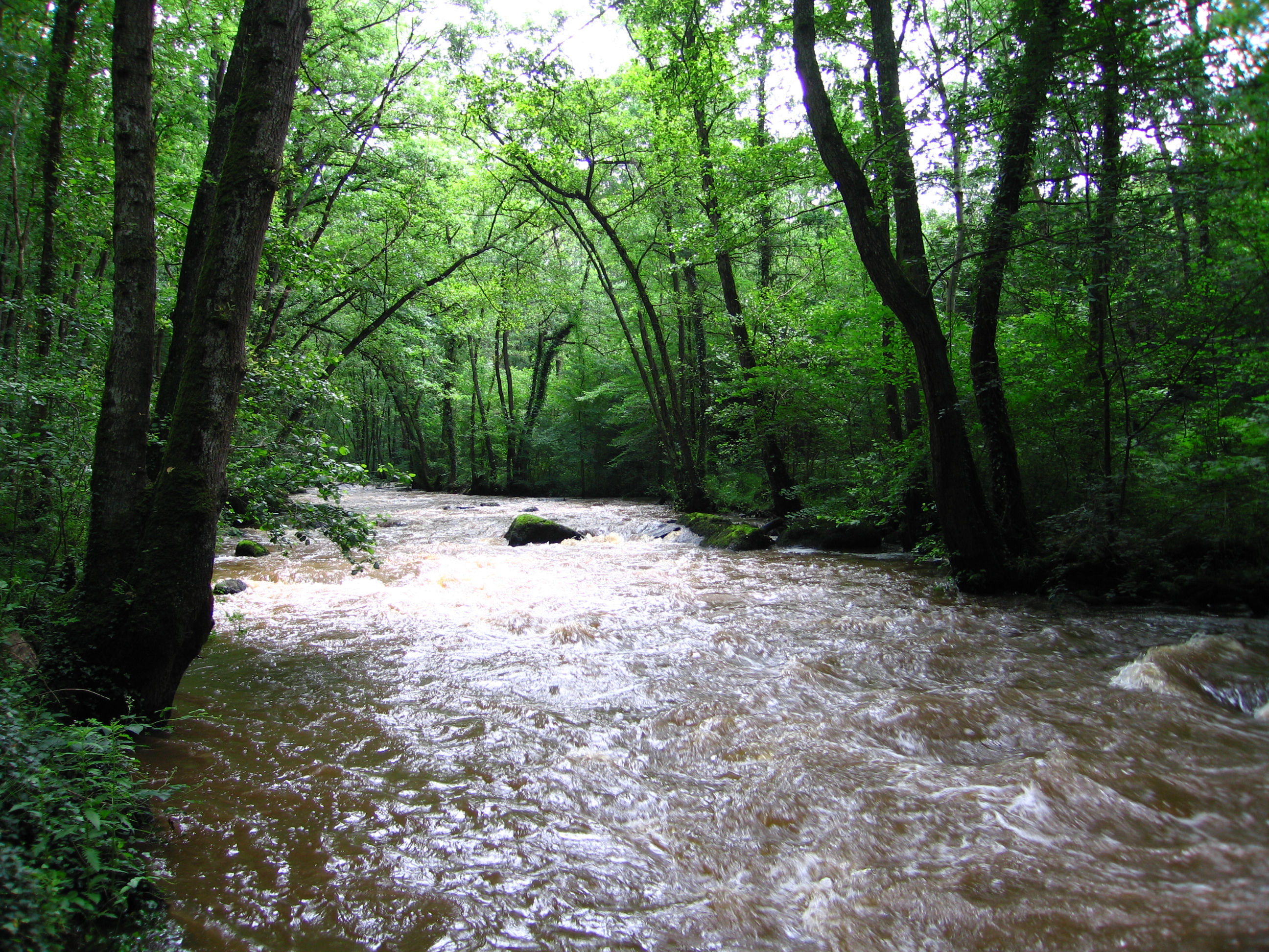 The river in woodland | |
 | |
| Location | |
| Country | France |
| Physical characteristics | |
| Source | |
| • location | Beauvain, Orne, Normandy |
| • elevation | 316 m (1,037 ft) |
| Mouth | |
• location | Orne at Ménil-Hubert-sur-Orne |
• coordinates | 48°50′50″N 0°23′03″W |
• elevation | 63 m (207 ft) |
| Length | 46 km (29 mi) |
| Basin size | 309 km2 (119 sq mi) |
| Basin features | |
| Progression | Orne→ English Channel |
The river's source is in the commune of Beauvain, a few kilometres to the east of La Ferté-Macé. After crossing the Pays d'Houlme, it turns in a north-westerly direction to re-enter Norman Switzerland, and then in its last course of 15 km (9.3 mi) passes around Bréel.
The Rouvre then confluences into the Orne between the dam at Saint-Philbert-sur-Orne and Pont-d'Ouilly, and joins the Orne at Rouvrou (elevation 63 m (207 ft)).

This last part of its course is through small wooded gorges and its fast waters can make for good kayaking, when the water level permits, and fishing for brown trout. These gorges are home to animal and plant species such as pearl mussels and Osmond Royal (water-fern),[2] and one may occasionally see otters and salmon.
The river's environment makes it an important tourist attraction in Norman Switzerland, with its rural and fluvial environment, The viewpoint from the Rock of Oetre into the valley is of 118 m (387 ft) below, the steepest drop.
References
- Sandre. "Fiche cours d'eau - La Rouvre (I23-0400)".
- Culpeper, Nicholas (1814). "Osmond Royal". Culpeper's Complete Herbal and English Physician. Retrieved 2009-04-10.
External links
- Page about the Rouvre, on a kayaking website
- Description of the Rock of Oetre, on the website of the Council-General of Orne
- CPIE des Collines normandes Association of environmental education, based at the Rouvre waterside, on the website of the 'House of River and Countryside'
This Orne geographical article is a stub. You can help Wikipedia by expanding it. |
На других языках
[de] Rouvre
Die Rouvre ist ein Fluss in Frankreich, der im Département Orne in der Region Normandie verläuft. Sie entspringt im Regionalen Naturpark Normandie-Maine, im Gemeindegebiet von Beauvain, entwässert generell Richtung Nordwest bis Nord durch die Normannische Schweiz und mündet nach rund 46[2] Kilometern an der Gemeindegrenze von Saint-Philbert-sur-Orne und Ménil-Hubert-sur-Orne als linker Nebenfluss in die Orne. An ihrer Mündung trifft sie auf das benachbarte Département Calvados.- [en] Rouvre
Другой контент может иметь иную лицензию. Перед использованием материалов сайта WikiSort.org внимательно изучите правила лицензирования конкретных элементов наполнения сайта.
WikiSort.org - проект по пересортировке и дополнению контента Википедии