geo.wikisort.org - River
The Orne (French: [ɔʁn] (![]() listen)) is a river in Normandy, within northwestern France. It is 170 km (110 mi) long.[1] It discharges into the English Channel at the port of Ouistreham. Its source is in Aunou-sur-Orne, east of Sées. Its main tributaries are the Odon and the Rouvre.
listen)) is a river in Normandy, within northwestern France. It is 170 km (110 mi) long.[1] It discharges into the English Channel at the port of Ouistreham. Its source is in Aunou-sur-Orne, east of Sées. Its main tributaries are the Odon and the Rouvre.
| Orne | |
|---|---|
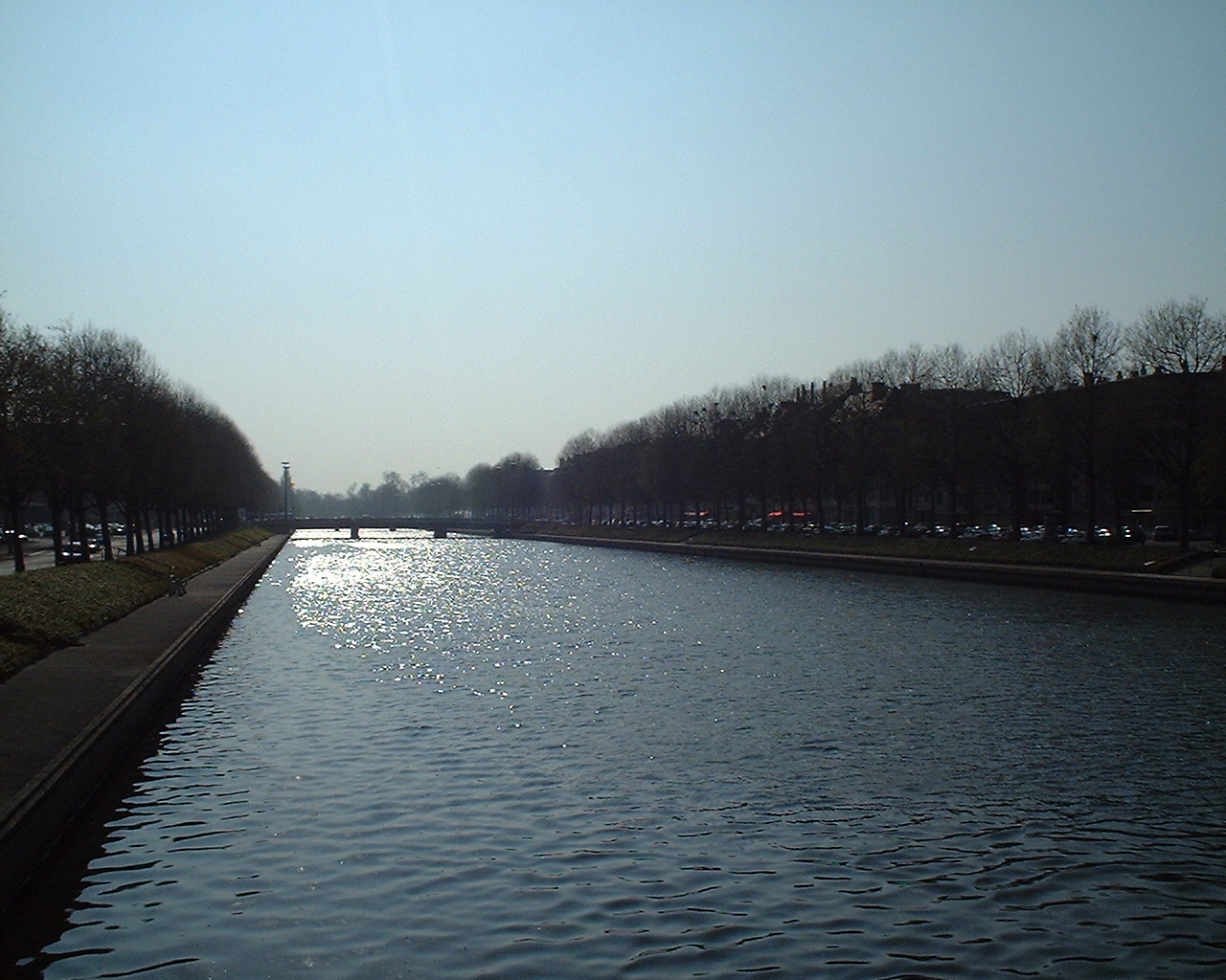 The Orne in Caen | |
  | |
| Location | |
| Country | France |
| Physical characteristics | |
| Source | |
| • location | Aunou-sur-Orne |
| • elevation | 240 m (790 ft) |
| Mouth | |
• location | English Channel |
• coordinates | 49°16′42″N 0°13′34″W |
| Length | 170 km (110 mi) |
| Basin size | 2,932 km2 (1,132 sq mi) |
| Discharge | |
| • average | 27.5 m3/s (970 cu ft/s) |
The Orne flows through the following departments and towns:
- Orne (named after the river): Sées, Argentan
- Calvados: Thury-Harcourt, Caen, Ouistreham
Name
The name of the Orne in Normandy, which is referred to as the Olinas by Ptolemy,[2] is a homonym of Fluvius Olne, the Orne saosnoise in Sarthe, which Xavier Delamarre traces back to the Celtic olīnā (elbow).
Hydrology and water quality
The waters of the Orne are typically moderately turbid and brown in colour. pH levels of the Orne have been measured at 8.5[3] at the town of St. Andre sur Orne where summer water temperatures approximate 18 degrees Celsius. Electrical conductivity of the Orne has been measured at 30 micro-Siemens per centimeter.
See also
- St. Andre sur Orne
- Canal de Caen à la Mer
- Operation Tonga
References
- Sandre. "Fiche cours d'eau - L'Orne (I2--0200)".
-
 Smith, William, ed. (1857). "Olinas". Dictionary of Greek and Roman Geography. Vol. 2. London: John Murray. p. 473–474.
 - Hogan, C Michael, Water quality of freshwater bodies in France, Lumina Press, Aberdeen 2006
External link
 Media related to Orne River at Wikimedia Commons
Authority control | |
|---|---|
| General | |
| National libraries | |
| Other |
|
This Normandy geography article is a stub. You can help Wikipedia by expanding it. |
На других языках
[de] Orne
Die Orne ist ein Fluss im Nordwesten Frankreichs, in der Region Normandie. Sie entspringt im Hügelland des Perche, im Gemeindegebiet von Aunou-sur-Orne, auf etwa 190 Metern Höhe, entwässert generell Richtung Nordwest und mündet nach rund 170[2] Kilometern bei Ouistreham in den Ärmelkanal. Das von Hügeln und Steilufern geprägte Tal wird auch Normannische Schweiz genannt. Auf ihrem Weg durchquert die Orne die Départements Orne, für das sie auch Namensgeber ist, und Calvados.- [en] Orne (river)
[es] Río Orne
El río Orne es un río de Francia, el mayor de los ríos costeros de Normandía. Nace a 218 m sobre el nivel del mar en Aunou-sur-Orne, en la Perche, en el departamento del Orne, y desemboca en el canal de la Mancha en Ouistreham, tras un curso de 175 km. Su cuenca tiene una superficie de 2928 km².[it] Orne (fiume)
L'Orne è un fiume costiero del nord-ovest della Francia e il secondo corso d'acqua della Normandia per lunghezza (169,6 chilometri[2]) e portata dopo la Senna. Dopo essersi scavato il cammino tra le alture della Svizzera normanna, dove forma delle caratteristiche gole, bagna Caen. Qui viene canalizzato e sfocia nella Manica in un estuario di grande interesse ecologico.[ru] Орн (река, впадает в Ла-Манш)
Орн (фр. Orne) — река на северо-западе Франции, протекает через регион Нижняя Нормандия (департаменты Орн и Кальвадос). Впадает в Ла-Манш в 13 км к северо-северо-востоку от города Кан.Другой контент может иметь иную лицензию. Перед использованием материалов сайта WikiSort.org внимательно изучите правила лицензирования конкретных элементов наполнения сайта.
WikiSort.org - проект по пересортировке и дополнению контента Википедии